Browse / Netherlands / North Brabant / Standdaarbuiten
Standdaarbuiten
North Brabantvillage

Standdaarbuiten
Total population
2,255
Demographic figures from CBS Netherlands. Overview below cites Wikipedia and may reference a different year.
City facts
Overview
Standdaarbuiten is a village in the Dutch province of North Brabant located in the municipality of Moerdijk, about 9 km northeast of Roosendaal.
Read more on WikipediaHistory & geography
History
The village was first mentioned in 1461 as "tgors Standerbuyten", and means "beyond the border pole", however it has later often been corrupted to "sandt daar buiten" (sand on the outside). Standdaarbuiten developed in the 16th century. It used to have a tall tower, but it was damaged during World War II and shortened after the war. It was a separate municipality until 1997 when it became part of Moerdijk. In the late half of World War II the town would the centre of a major river crossing across the Mark River by the 104th Infantry Division in support of Operation Pheasant between the 31 October and the 3 November, 1944. Elements of the German 2nd Battalion of Grenadier Regiment 857 of the 346th Infantry Division with armored support in the form of Sturmgeschütz IIIs from Sturmgeschütz Brigade 244 managed to stop the first major crossing on the 31st by the 2nd Battalion of the 415th Infantry Regiment and result in a 3 Prone attack by the 1st and 3rd Battalions (plus the 2nd Battalion of the 413th Infantry Regiment) to secure the village and establish a bridgehead over the Mark. (Cecil H. Bolton would also earn his Medal of Honor serving with the 104th Infantry Division at Standaarbuiten).
Excerpted from the corresponding Wikipedia article (CC BY-SA).
Geography
Coordinates & boundaries from the US Census TIGER/Line shapefiles.
Climate
Air quality
Walkability
Amenities nearby
Wildlife & biodiversity
Earthquake history
Photos
Sights & places nearby
Notable people from here


People born within ~10 km, from Wikidata (CC0). Click any name for their Wikipedia article.
Nearby places in North Brabant
- Noordhoek2.3 mi away · pop. 1,030
- Stampersgat3 mi away · pop. 1,189
- Oudemolen3.3 mi away · pop. 205
- Heijningen5.4 mi away · pop. 960
- Helwijk5.7 mi away · pop. 860
- Rucphen5.8 mi away · pop. 4,625
- Roosendaal6 mi away · pop. 67,390
- Etten-Leur6 mi away · pop. 43,027
- Sprundel6.3 mi away · pop. 5,120
- Dinteloord6.4 mi away · pop. 5,534
- Langeweg7 mi away · pop. 870
- Moerdijk7.9 mi away · pop. 1,120
Geography & sun
Elevation, sunrise/sunset and daylight from Open-Meteo. Solar climatology from NASA POWER.
Nearby airports
Public attention
Pageview totals from the Wikimedia Pageviews API.
Books about this place
Recent natural events nearby
Ground air-quality sensors
Recently spotted species
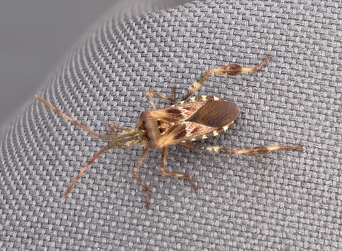
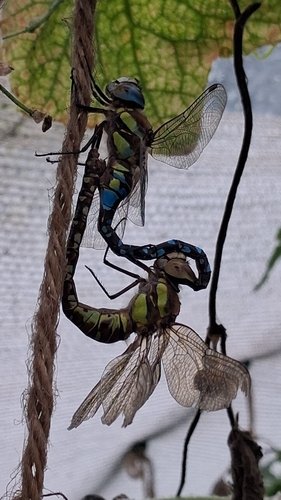
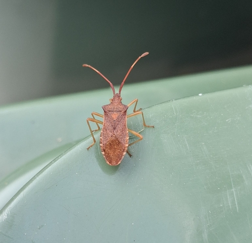
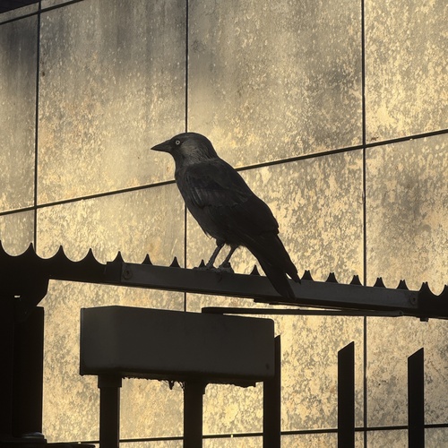
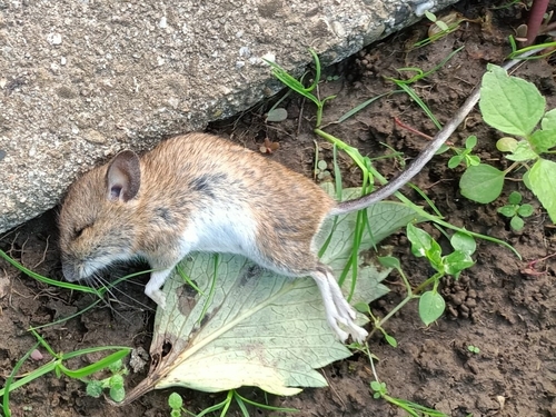
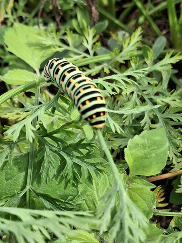
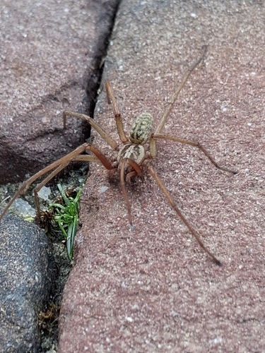
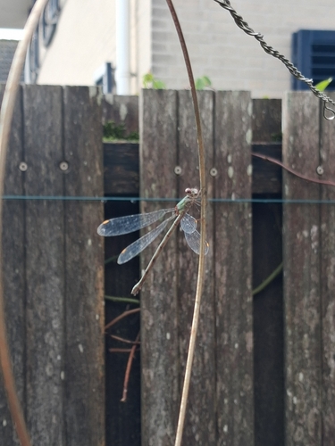
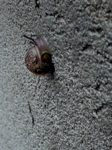
Research-grade observations from iNaturalist (within ~15 mi).
Events
Gallery
Official Identifiers
CBS — Statistics Netherlands
- CBS code
- 0850
- Population (Wikidata)
- 772
- Wikidata
- Q2314541
Gemeente codes via Wikidata P382
Sources
- • Wikipedia
- • Wikidata
- • iNaturalist
- • Open-Meteo / sunrise-sunset.org
- • Wikipedia Pageviews API
- • CBS — Statistics Netherlands, municipality code via Wikidata P382
- • CBS — Statistics Netherlands — Gemeente codes via Wikidata P382