Browse / Netherlands / North Holland / Uithoorn
Uithoorn
North Hollandtown

Uithoorn
Total population
24,835
Air quality index
Demographic figures from CBS Netherlands. Overview below cites Wikipedia and may reference a different year.
City facts
Facts from Wikidata (CC0).
Overview
Uithoorn is a municipality and a town in the Netherlands, in the province of North Holland.
Read more on WikipediaHistory & geography
History
The name De Uithoorn (or De Uythoorn) was used at the end of the Middle Ages for the location of the lower courts of the deanery of Saint John. The village formed around its courthouse. People depended on agriculture and animal husbandry. Agriculture became increasingly more difficult due to the steady soil subsidence. From c. 1600 on, peat extraction became important and resulted in the formation of large ponds, which in turn would be made into polders later on. During the Franco-Dutch War in the "disaster year" of 1672, Uithoorn was on the front lines and fortifications were built. During the Batavian Republic period, the neighbouring village of Thamen was merged with Uithoorn. Its economy was limited, but improved in the middle of the 19th century when some industries (including chemical) were established in the area. The reclamation of a few large ponds provided extra agricultural land at the end of the same century. A sulphuric acid plant was established on the banks of the Amstel in 1863, it closed in the early 1900s; in 1922 the site was used for a coal tar processor, Teerbedrijf Uithoorn, later known as Cindu Chemicals. A subsidiary company Nevcin Polymers also operated on the site: both companies were major employers in the town, and also polluters of the air and water bodies. In 1992 a reactor at the Nevcin site exploded, causing three deaths and several injuries. As of 2012 both plants remain in operation. In circa 1885, several fortifications were built around Uithoorn as part of the Stelling van Amsterdam. In 1915, the Bovenkerk – Uithoorn line of the former Haarlemmermeer railway lines reached Uithoorn, near the village centre on the Amstel. Passenger service would end in 1950 and freight service in 1972. Most of the line was scrapped by 1987. The…
Excerpted from the corresponding Wikipedia article (CC BY-SA).
Geography
Coordinates & boundaries from the US Census TIGER/Line shapefiles.
Climate
Air quality
Current readings from Open-Meteo Air Quality API (Copernicus CAMS European reanalysis).
Walkability
Amenities nearby
Wildlife & biodiversity
Most-observed species
- Eurasian CootFulica atra Linnaeus, 1758 · Aves48,004
- MallardAnas platyrhynchos Linnaeus, 1758 · Aves41,645
- Gray/Purple HeronArdea cinerea Linnaeus, 1758 · Aves40,109
- Eurasian MagpiePica pica (Linnaeus, 1758) · Aves38,085
- Carrion CrowCorvus corone Linnaeus, 1758 · Aves37,403
- Eurasian BlackbirdTurdus merula Linnaeus, 1758 · Aves37,215
- Great TitParus major Linnaeus, 1758 · Aves35,868
- Common ChiffchaffPhylloscopus collybita (Vieillot, 1817) · Aves35,284
Citizen-science & research observations from the Global Biodiversity Information Facility (GBIF).
Earthquake history
Most recent
- M 2.9 — 2008-10-1119 km WNW of Egmond aan Zee, Netherlands
Events from the USGS Earthquake Catalog (global) (FDSN Event Web Service).
Photos
Sights & places nearby
Notable people from here


People born within ~10 km, from Wikidata (CC0). Click any name for their Wikipedia article.
Nearby places in North Holland
- De Kwakel1.4 mi away · pop. 4,366
- Nes aan de Amstel2.3 mi away
- Kudelstaart3.2 mi away · pop. 9,218
- Aalsmeer3.7 mi away · pop. 22,168
- Aalsmeerderbrug3.9 mi away · pop. 501
- Amstelveen4.5 mi away · pop. 89,321
- Rijsenhout4.8 mi away · pop. 4,232
- Ouderkerk aan de Amstel5.1 mi away · pop. 8,620
- Burgerveen6.1 mi away · pop. 328
- Sloten7 mi away
- Badhoevedorp7 mi away · pop. 12,937
- Hoofddorp7.2 mi away · pop. 76,638
Geography & sun
Elevation, sunrise/sunset and daylight from Open-Meteo. Solar climatology from NASA POWER.
Nearby airports
Public attention
Pageview totals from the Wikimedia Pageviews API.
Books about this place
Recent natural events nearby
Ground air-quality sensors
Recently spotted species
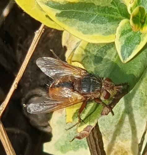
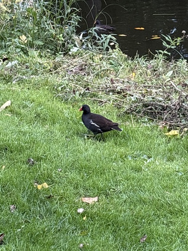
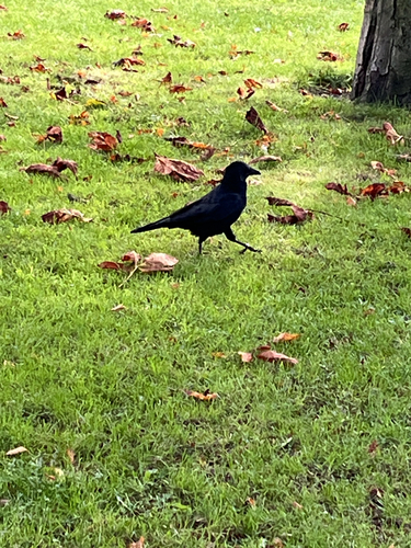
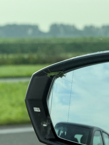
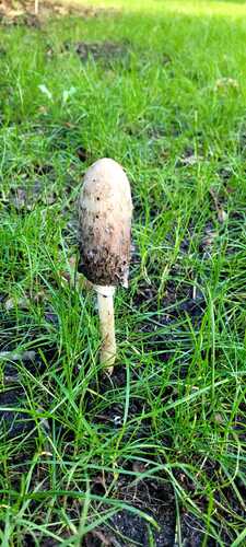
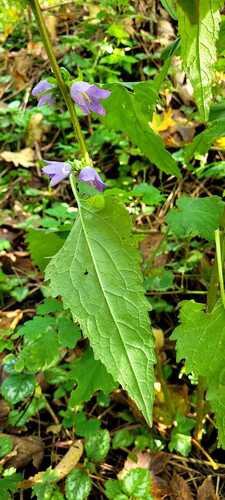
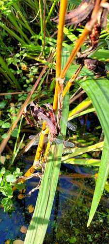
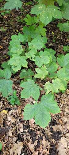
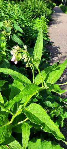
Research-grade observations from iNaturalist (within ~15 mi).
Events
Gallery
Official Identifiers
CBS — Statistics Netherlands
- CBS code
- 0451
- Population (Wikidata)
- 30,206
- Wikidata
- Q9969
Gemeente codes via Wikidata P382
Sources
- • Wikipedia
- • Wikidata
- • Open-Meteo Air Quality (CAMS)
- • USGS Earthquake Catalog (global feed)
- • GBIF (Global Biodiversity Information Facility)
- • iNaturalist
- • Open-Meteo / sunrise-sunset.org
- • Wikipedia Pageviews API
- • CBS — Statistics Netherlands, municipality code via Wikidata P382
- • CBS — Statistics Netherlands — Gemeente codes via Wikidata P382