Browse / Netherlands / Overijssel / Vollenhove
Vollenhove
Overijsselvillage

Vollenhove
Total population
4,195
Demographic figures from CBS Netherlands. Overview below cites Wikipedia and may reference a different year.
City facts
Facts from Wikidata (CC0).
Overview
Vollenhove is a city in the Dutch province of Overijssel. It is located in the municipality of Steenwijkerland, southwest of Steenwijk. Until the Noordoostpolder was drained, it was located on the coast of the Zuiderzee.
Read more on WikipediaHistory & geography
History
Vollenhove is already listed (as Fulnaho) in 944. The area was once a forest owned by Otto the Great. He gave Bishop of Utrecht Balderik permission to hunt there. In 1010 Emperor Henry II gave the area Sillva Fulnaho (Forest Vollenhove) to the bishop of Utrecht. In the 12th century, Bishop Godfried van Rhenen built a castle in the Almere, the Olde Huys, with a keep and a chapel. In the 14th century, the castle was repeatedly attacked by the Frisians from Stellingwerven. The village Op ten Camph was built around the castle. On 12 July 1354 it was given a city charter. After 1380 the city was designated as Vollenho. The heyday of the city Vollenhove was in the first half of the 15th century. Vollenhove was important because of the sturgeon fishing and was a bijstad of the League. Earthen walls and gates were also constructed to defend the city. In the first half of the 16th century the city flourished. Joris Schenck van Toutenburg became sheriff and later became governor of Overijssel for Karel the Fifth. Just outside the city Schenck built a castle called Toutenburg. This residence was the administrative center for the three northern provinces of Groningen, Friesland and Overijssel. Drenthe did not count because it was considered to poor. At the outbreak of the Eighty Years' War Vollenhove lost the role of administrative center, and in the following centuries, the town withered away. In 1818 was divided into Vollenhove City and Vollenhove office, the country that Vollenhove heard. In the second half of the 19th century Vollenhove flourished again briefly. The moat of the Olde Huys was fishing port and the castle was demolished. When in 1859 the island was evacuated Schokland, drew the most Schokkers in the midst of the remains of the castle. At the end of the 19th…
Excerpted from the corresponding Wikipedia article (CC BY-SA).
Geography
Coordinates & boundaries from the US Census TIGER/Line shapefiles.
Climate
Air quality
Walkability
Amenities nearby
Wildlife & biodiversity
Earthquake history
Photos
Sights & places nearby
Notable people from here


People born within ~10 km, from Wikidata (CC0). Click any name for their Wikipedia article.
Nearby places in Overijssel
- Sint Jansklooster2.4 mi away · pop. 1,530
- Heetveld2.9 mi away · pop. 950
- Blokzijl3.2 mi away · pop. 1,375
- Belt-Schutsloot4.8 mi away · pop. 565
- Dwarsgracht4.8 mi away · pop. 130
- Genemuiden5.6 mi away · pop. 10,309
- Zwartsluis5.8 mi away · pop. 4,848
- Scheerwolde5.9 mi away · pop. 420
- Wetering6 mi away · pop. 180
- Blankenham6.3 mi away · pop. 365
- Kalenberg6.7 mi away · pop. 225
- Grafhorst6.8 mi away · pop. 1,010
Geography & sun
Elevation, sunrise/sunset and daylight from Open-Meteo. Solar climatology from NASA POWER.
Nearby airports
Public attention
Pageview totals from the Wikimedia Pageviews API.
Books about Vollenhove

Search results from Open Library.
Recent natural events nearby
Ground air-quality sensors
Recently spotted species
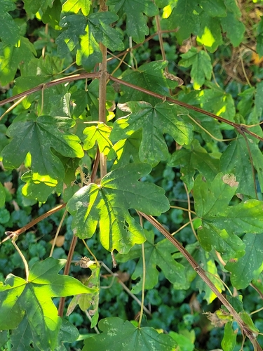
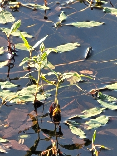
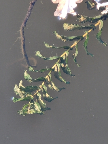
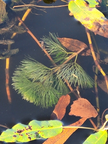
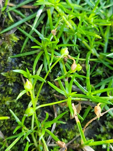
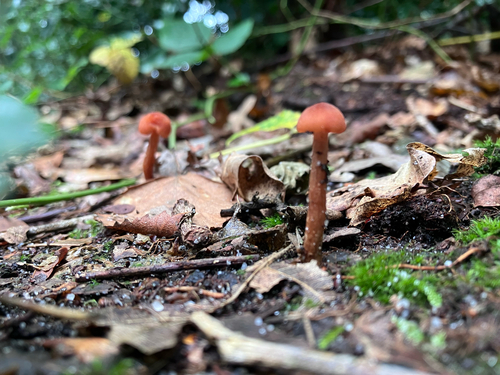
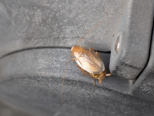
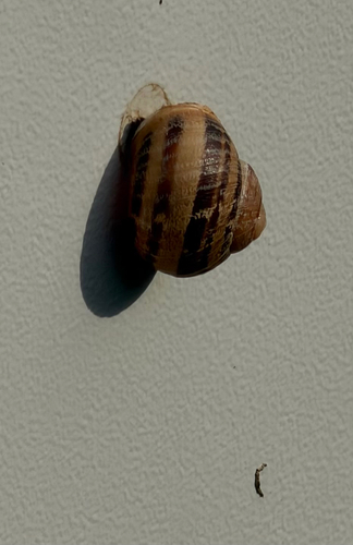
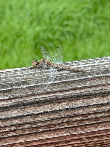
Research-grade observations from iNaturalist (within ~15 mi).
Events
Gallery
Official Identifiers
CBS — Statistics Netherlands
- CBS code
- 0185
- Population (Wikidata)
- 4,865
- Wikidata
- Q34982196
Gemeente codes via Wikidata P382
Sources
- • Wikipedia
- • Wikidata
- • iNaturalist
- • Open-Meteo / sunrise-sunset.org
- • Wikipedia Pageviews API
- • Open Library
- • CBS — Statistics Netherlands, municipality code via Wikidata P382
- • CBS — Statistics Netherlands — Gemeente codes via Wikidata P382