Browse / Netherlands / Gelderland / Vorden
Vorden
Gelderlandvillage

Vorden
Total population
7,220
Demographic figures from CBS Netherlands. Overview below cites Wikipedia and may reference a different year.
City facts
Facts from Wikidata (CC0).
Overview
Vorden is a former municipality and a town in the eastern Netherlands, about 10 kilometres south-east of Zutphen. On 1 January 2005 the municipality merged with Hummelo en Keppel, Steenderen, Hengelo en Zelhem, to form the new municipality Bronckhorst.
Read more on WikipediaHistory & geography
History
In the Middle Ages Vorden originated on a deck area located on the "Vordensche" brook, close to house Vorden. The village probably owes its name to the word 'Voorde', which means ford. In 1235 it became an independent parish. Until 2005, Vorden was an independent municipality, but as a result of a municipal reorganisation, on 1 January of that year, Vorden merged with the neighboring municipalities of Hummelo and Keppel, Steenderen, Hengelo and Zelhem to form the municipality of Bronckhorst. Other centers in the former municipality were Delden, Kranenburg, Linde, Medler, Mossel, Veldwijk, Vierakker, Wichmond, Wientjesvoort and Wildenborch. In 2014, the centre of Vorden was redesigned, with a number of roads being moved and in some places the pavements were also made wider. In addition, trees have been planted and a new parking lot has been laid out for long-term parkers.
Excerpted from the corresponding Wikipedia article (CC BY-SA).
Geography
Coordinates & boundaries from the US Census TIGER/Line shapefiles.
Climate
Air quality
Walkability
Amenities nearby
Wildlife & biodiversity
Earthquake history
Photos
Sights & places nearby
Notable people from here


People born within ~10 km, from Wikidata (CC0). Click any name for their Wikipedia article.
Nearby places in Gelderland
- Kranenburg1.9 mi away · pop. 215
- Wichmond2.5 mi away · pop. 765
- Almen3.7 mi away · pop. 1,178
- Baak4.2 mi away · pop. 1,095
- Keijenborg5.1 mi away · pop. 1,550
- Zutphen5.6 mi away · pop. 40,624
- Barchem5.8 mi away · pop. 1,750
- Veldhoek5.8 mi away · pop. 155
- Eefde5.9 mi away · pop. 4,392
- Bronkhorst6 mi away · pop. 220
- Laren6.5 mi away · pop. 4,140
- Velswijk6.5 mi away · pop. 1,155
Geography & sun
Elevation, sunrise/sunset and daylight from Open-Meteo. Solar climatology from NASA POWER.
Nearby airports
Public attention
Pageview totals from the Wikimedia Pageviews API.
Books about this place
Recent natural events nearby
Ground air-quality sensors
Recently spotted species
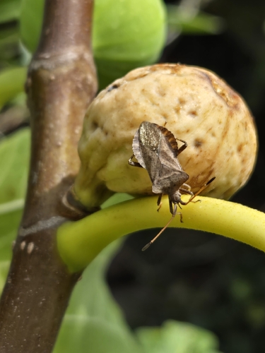
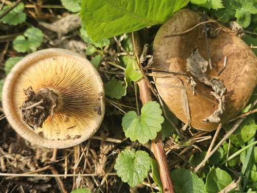
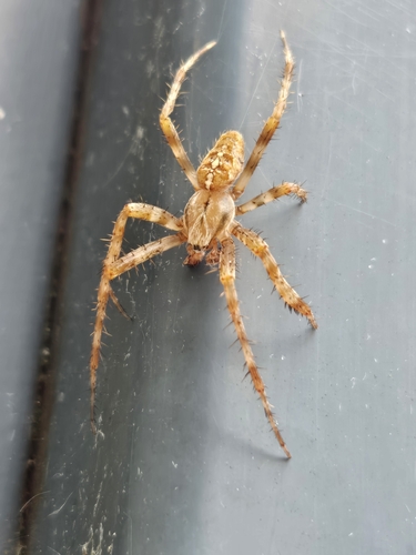
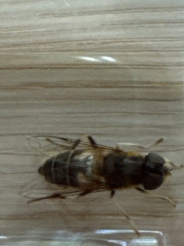
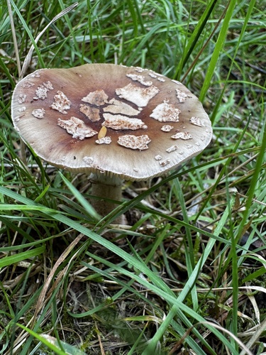
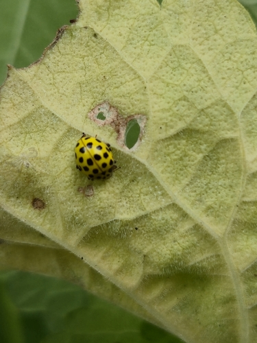
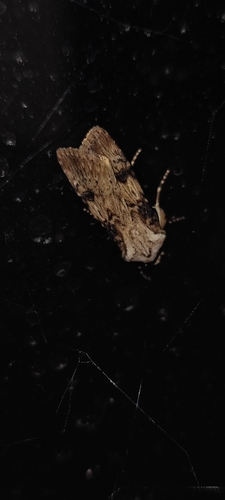
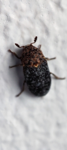
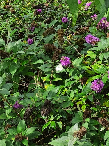
Research-grade observations from iNaturalist (within ~15 mi).
Events
Gallery
Official Identifiers
CBS — Statistics Netherlands
- CBS code
- 0286
- Population (Wikidata)
- 2,123
- Wikidata
- Q1615554
Gemeente codes via Wikidata P382
Sources
- • Wikipedia
- • Wikidata
- • iNaturalist
- • Open-Meteo / sunrise-sunset.org
- • Wikipedia Pageviews API
- • CBS — Statistics Netherlands, municipality code via Wikidata P382
- • CBS — Statistics Netherlands — Gemeente codes via Wikidata P382