Browse / Netherlands / Drenthe / Vries
Vries
Drenthevillage
Total population
4,095
Air quality index
Demographic figures from CBS Netherlands. Overview below cites Wikipedia and may reference a different year.
City facts
Overview
Situated in Drenthe, Netherlands, Vries is a village. Recent open-data figures place its population at about 4,095. Geographically it lies in the northern hemisphere at a cool temperate latitude (53.077°, 6.578°). The latitude suggests long cool seasons and short, mild summers. Open solar datasets indicate about 1,049 kWh/m² of solar irradiance per year, combined with sunshine for roughly 41% of daylight hours. Open-data panels below dive into population trends, climate normals, environmental indicators and nearby places.
Summary composed automatically from structured open data on this page. See our Terms for details.
History & geography
Geography
Coordinates & boundaries from the US Census TIGER/Line shapefiles.
Climate
Air quality
Current readings from Open-Meteo Air Quality API (Copernicus CAMS European reanalysis).
Walkability
Amenities nearby
Wildlife & biodiversity
Most-observed species
- Great TitParus major Linnaeus, 1758 · Aves26,942
- Eurasian BlackbirdTurdus merula Linnaeus, 1758 · Aves25,536
- Common BuzzardButeo buteo (Linnaeus, 1758) · Aves23,974
- European RobinErithacus rubecula (Linnaeus, 1758) · Aves23,327
- Common ChaffinchFringilla coelebs Linnaeus, 1758 · Aves23,039
- Common ChiffchaffPhylloscopus collybita (Vieillot, 1817) · Aves22,470
- Eurasian Blue TitCyanistes caeruleus (Linnaeus, 1758) · Aves21,573
- White StorkCiconia ciconia (Linnaeus, 1758) · Aves19,910
Citizen-science & research observations from the Global Biodiversity Information Facility (GBIF).
Earthquake history
Most recent
- M 3.8 — 2025-11-140 km ESE of Uithuizen, Netherlands
- M 2.7 — 2022-09-243 km SSW of Spijk, Netherlands
- M 3.2 — 2019-05-221 km E of Warffum, Netherlands
- M 3.4 — 2013-02-071 km NE of Usquert, Netherlands
- M 3.4 — 2012-08-161 km NNE of Loppersum, Netherlands
- M 3.3 — 2008-10-302 km SSW of Usquert, Netherlands
Events from the USGS Earthquake Catalog (global) (FDSN Event Web Service).
Photos
Sights & places nearby
Notable people from here


People born within ~10 km, from Wikidata (CC0). Click any name for their Wikipedia article.
Nearby places in Drenthe
- Tynaarlo1.6 mi away · pop. 1,780
- Ubbena1.7 mi away · pop. 161
- Donderen1.9 mi away · pop. 475
- Zeijen2.3 mi away · pop. 735
- Yde2.7 mi away · pop. 835
- Zeegse2.9 mi away · pop. 360
- De Punt3 mi away · pop. 250
- Oudemolen3.2 mi away · pop. 75
- Bunne3.4 mi away · pop. 220
- Taarlo3.6 mi away · pop. 105
- Peest3.6 mi away · pop. 135
- Schipborg3.8 mi away · pop. 572
Geography & sun
Elevation, sunrise/sunset and daylight from Open-Meteo. Solar climatology from NASA POWER.
Nearby airports
Public attention
Pageview totals from the Wikimedia Pageviews API.
Books about this place
Recent natural events nearby
Ground air-quality sensors
Recently spotted species
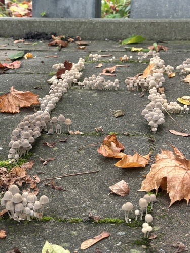
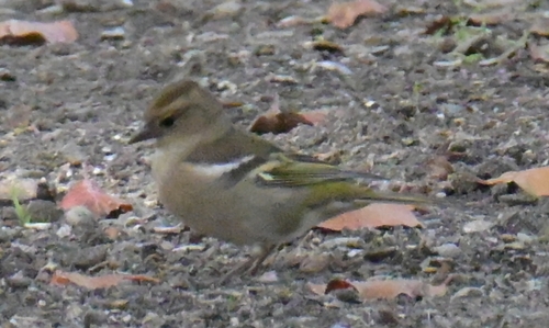
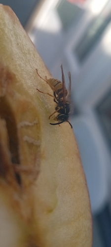
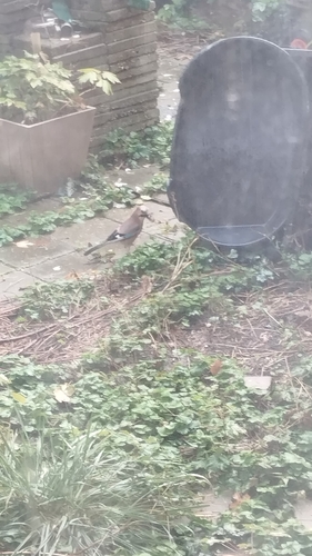
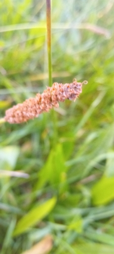

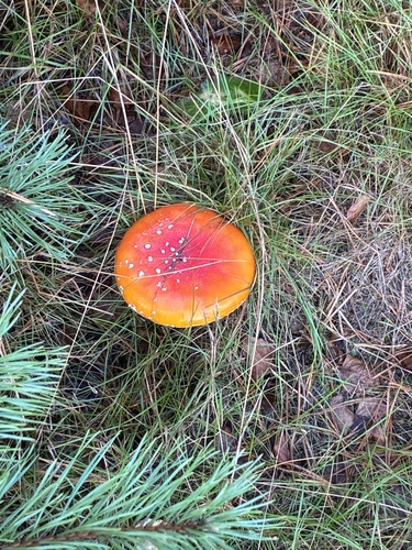
Research-grade observations from iNaturalist (within ~15 mi).
Events
Gallery
Official Identifiers
CBS — Statistics Netherlands
- CBS code
- 0133
- Population (Wikidata)
- 8,250
- Wikidata
- Q501788
Gemeente codes via Wikidata P382
Sources
- • Wikidata
- • Open-Meteo Air Quality (CAMS)
- • USGS Earthquake Catalog (global feed)
- • GBIF (Global Biodiversity Information Facility)
- • iNaturalist
- • Open-Meteo / sunrise-sunset.org
- • Wikipedia Pageviews API
- • CBS — Statistics Netherlands, municipality code via Wikidata P382
- • CBS — Statistics Netherlands — Gemeente codes via Wikidata P382