Browse / Netherlands / North Brabant / Waspik
Waspik
North Brabantvillage

Waspik
Total population
5,015
Demographic figures from CBS Netherlands. Overview below cites Wikipedia and may reference a different year.
City facts
Facts from Wikidata (CC0).
Overview
Waspik is a village in the Dutch province of North Brabant. It is located in the municipality of Waalwijk.
Read more on WikipediaHistory & geography
History
Waspik was first mentioned in 1257 as Waspich, and means "headland in the mud". Waspik was established in the 12th century in a peat excavation area. It was severely damaged in the St. Elizabeth's flood of 1421 and the village started to concentrate more southwards. The Dutch Reformed church dates from the 15th century, and never had a tower. The Catholic St Bartholomeus and Barbara Church was built in neoclassic style in 1840 and 1841. To the south of the village, a Carmelite monastery was built between 1926 and 1927 in Gothic Revival style. Waspik was a separate municipality until 1997, when it became part of Waalwijk. Waspik came to national attention in 2007 when a Liberian family was forced to flee the village after repeated racist attacks. An official report into events in the village concluded that everyone involved in the affair including the town council and housing corporations had failed to protect the family. 11 youths were initially charged with the attacks, though only 8 were found guilty and sentenced to community service in April 2008. After they moved from the village to Waalwijk, they were also forced to flee from this town.
Excerpted from the corresponding Wikipedia article (CC BY-SA).
Geography
Coordinates & boundaries from the US Census TIGER/Line shapefiles.
Climate
Air quality
Walkability
Amenities nearby
Wildlife & biodiversity
Earthquake history
Photos
Sights & places nearby
Notable people from here


People born within ~10 km, from Wikidata (CC0). Click any name for their Wikipedia article.
Nearby places in North Brabant
- Raamsdonksveer3.1 mi away · pop. 12,535
- Oosteind3.5 mi away · pop. 1,254
- Geertruidenberg3.7 mi away · pop. 6,880
- Oosterhout4.7 mi away · pop. 49,483
- Babyloniënbroek5.1 mi away · pop. 438
- De Moer5.3 mi away · pop. 557
- Den Hout6 mi away · pop. 1,185
- Drimmelen6.2 mi away · pop. 545
- Waardhuizen6.7 mi away · pop. 249
- Loon op Zand6.9 mi away · pop. 6,095
- Uitwijk7.2 mi away · pop. 348
- Hulten8 mi away · pop. 315
Geography & sun
Elevation, sunrise/sunset and daylight from Open-Meteo. Solar climatology from NASA POWER.
Nearby airports
Public attention
Pageview totals from the Wikimedia Pageviews API.
Books about this place
Recent natural events nearby
Ground air-quality sensors
Recently spotted species
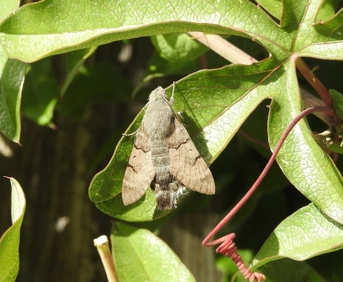
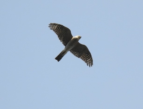
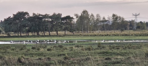
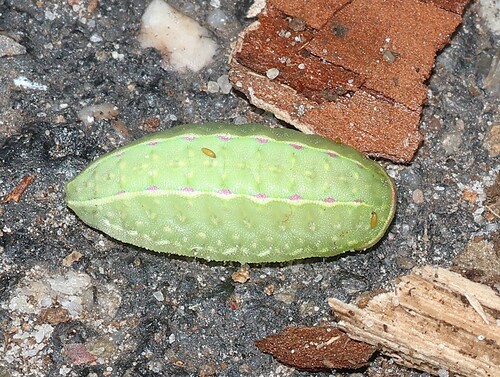
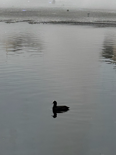
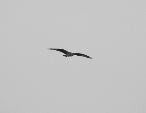
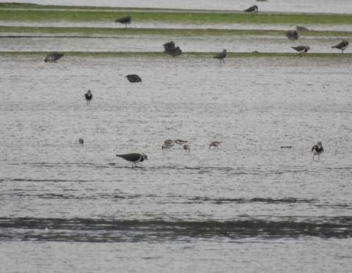
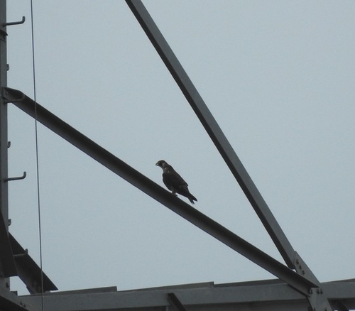
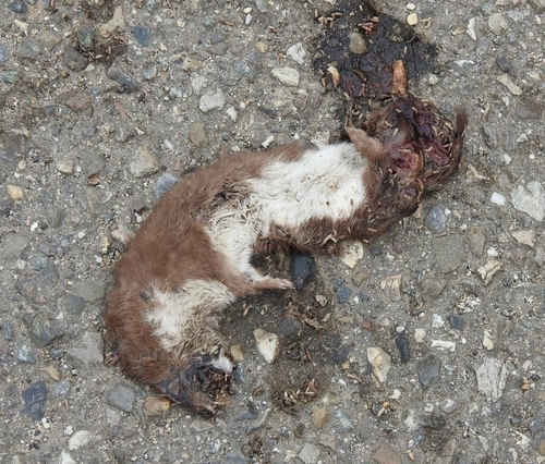
Research-grade observations from iNaturalist (within ~15 mi).
Events
Gallery
Official Identifiers
CBS — Statistics Netherlands
- CBS code
- 0869
- Population (Wikidata)
- 1,829
- Wikidata
- Q2922346
Gemeente codes via Wikidata P382
Sources
- • Wikipedia
- • Wikidata
- • iNaturalist
- • Open-Meteo / sunrise-sunset.org
- • Wikipedia Pageviews API
- • CBS — Statistics Netherlands, municipality code via Wikidata P382
- • CBS — Statistics Netherlands — Gemeente codes via Wikidata P382