Browse / Netherlands / Friesland / West-Terschelling
West-Terschelling
Frieslandvillage

West-Terschelling
Total population
2,602
Demographic figures from CBS Netherlands. Overview below cites Wikipedia and may reference a different year.
City facts
Overview
West-Terschelling is the largest village on the island Terschelling, Friesland, in the central north of the Netherlands. It had a population of around 2,602 in January 2017.
Read more on WikipediaHistory & geography
History
The town was partially burned on the orders of Sir Robert Holmes in 1666, during the Second Anglo-Dutch War, in an event referred to as "Holmes's Bonfire". A pub was named after the Oka 18, a ship that sank near Formerum.
Excerpted from the corresponding Wikipedia article (CC BY-SA).
Geography
Coordinates & boundaries from the US Census TIGER/Line shapefiles.
Climate
Air quality
Walkability
Amenities nearby
Wildlife & biodiversity
Earthquake history
Photos
Sights & places nearby
Notable people from here


People born within ~10 km, from Wikidata (CC0). Click any name for their Wikipedia article.
Nearby places in Friesland
- Baaiduinen2.7 mi away · pop. 106
- Midsland3.2 mi away · pop. 1,018
- Landerum3.8 mi away · pop. 96
- Formerum4.2 mi away · pop. 270
- Lies5.1 mi away · pop. 145
- Hoorn5.7 mi away · pop. 465
- Oosterend7.4 mi away · pop. 136
- Oost-Vlieland7.7 mi away · pop. 1,133
- Pietersbierum14.7 mi away · pop. 140
- Sexbierum14.9 mi away · pop. 1,721
- Oosterbierum15.1 mi away · pop. 517
- Wijnaldum15.3 mi away · pop. 490
Geography & sun
Elevation, sunrise/sunset and daylight from Open-Meteo. Solar climatology from NASA POWER.
Nearby airports
Public attention
Pageview totals from the Wikimedia Pageviews API.
Books about this place
Recent natural events nearby
Ground air-quality sensors
Recently spotted species

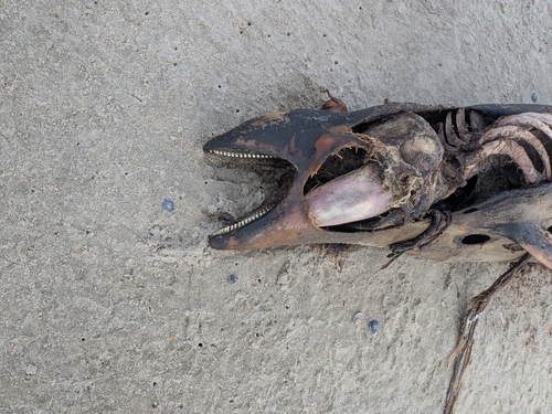
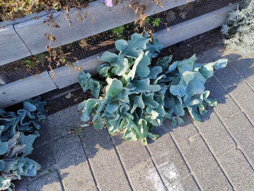
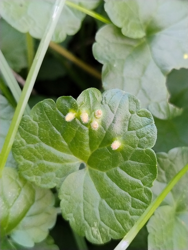
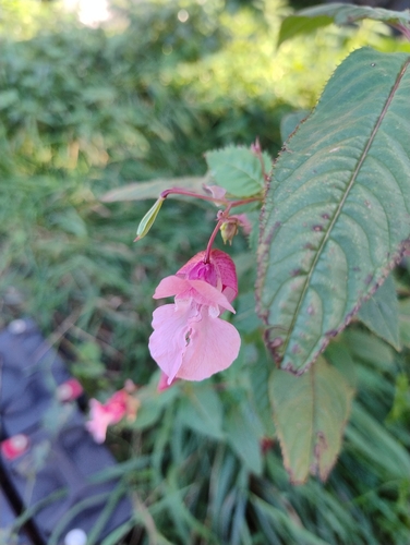

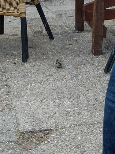

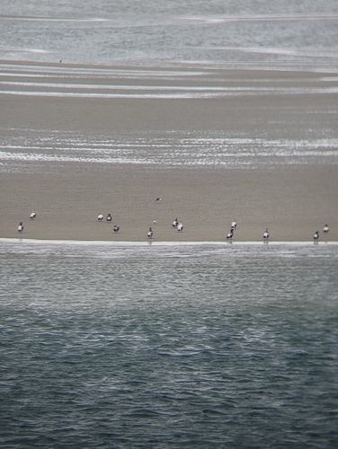
Research-grade observations from iNaturalist (within ~15 mi).
Events
Gallery
Sources
- • Wikipedia
- • Wikidata
- • iNaturalist
- • Open-Elevation
- • Open-Meteo / sunrise-sunset.org
- • Wikipedia Pageviews API