Browse / Netherlands / Groningen / Winschoten
Winschoten
Groningentown

Winschoten
Total population
18,130
Demographic figures from CBS Netherlands. Overview below cites Wikipedia and may reference a different year.
City facts
Sister cities
Facts from Wikidata (CC0).
Overview
Winschoten is a city with a population of 18,518 in the municipality of Oldambt in the northeast of the Netherlands. It is the largest city in the region of Oldambt in the province of Groningen which has 38,213 inhabitants.
Read more on WikipediaHistory & geography
Geography
Winschoten was the capital of the Oldambt district, in a fertile agricultural region. Winschoten received city rights in 1825. It was the last town in the Netherlands to be granted such rights and it was more of a symbolic gesture. The town flag has three horizontal stripes of blue and white, in ratio 1:3:1, on the white stripe is a red outline plan of a fortress with nine embattlements. It was adopted 23 May 1973 by municipal resolution. The coat of arms is an image of Saint Vitus, whose name can also be recognized in many streetnames, schoolnames names of clubs, etc. Winschoten is located at (53.15, 7.03) in the municipality of Oldambt, in the east of the province of Groningen, and in the northeast of the Netherlands. It is situated east of Groningen, Hoogezand, and Veendam, north of Stadskanaal, south of Delfzijl, and west of Leer and Papenburg (both in Germany). It is also south of the Dollart and the Oldambtmeer. File:Netherlands, Winschoten, map, around 1865-1870.jpg|The municipality around 1870 File:Winschoten-plaats-OpenTopo.jpg|Topographic map of Winschoten, June 2014
Excerpted from the corresponding Wikipedia article (CC BY-SA).
Geography
Coordinates & boundaries from the US Census TIGER/Line shapefiles.
Climate
Air quality
Walkability
Amenities nearby
Wildlife & biodiversity
Earthquake history
Photos
Sights & places nearby
Notable people from here


People born within ~10 km, from Wikidata (CC0). Click any name for their Wikipedia article.
Nearby places in Groningen
- Heiligerlee1.5 mi away · pop. 1,435
- Blauwestad1.7 mi away · pop. 1,025
- Westerlee2.1 mi away · pop. 1,480
- Blijham2.7 mi away · pop. 2,240
- Wedderveer4.1 mi away · pop. 135
- Oostwold4.1 mi away · pop. 1,470
- Oudeschans4.3 mi away · pop. 100
- Zuidwending5.4 mi away · pop. 410
- Vriescheloo5.7 mi away · pop. 755
- Nieuw-Scheemda6 mi away · pop. 275
- Nieuw-Beerta6.1 mi away · pop. 120
- Alteveer6.5 mi away · pop. 1,154
Geography & sun
Elevation, sunrise/sunset and daylight from Open-Meteo. Solar climatology from NASA POWER.
Nearby airports
Public attention
Pageview totals from the Wikimedia Pageviews API.
Books about Winschoten
Search results from Open Library.
Recent natural events nearby
Ground air-quality sensors
Recently spotted species
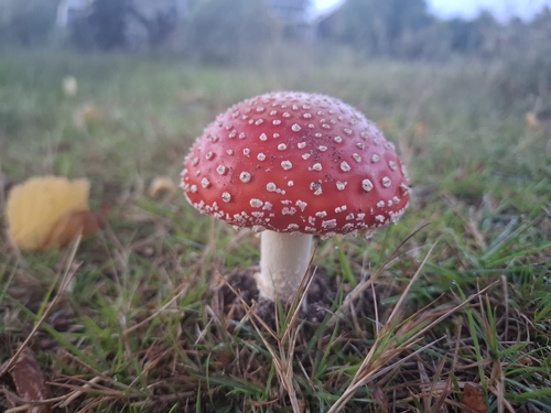
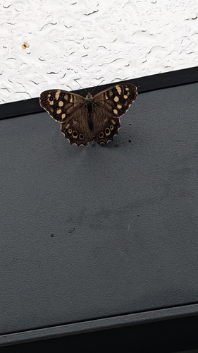
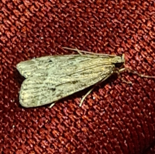
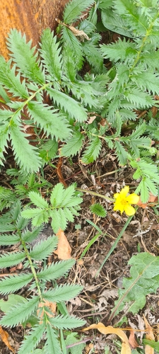
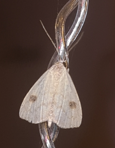
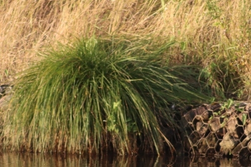
Research-grade observations from iNaturalist (within ~15 mi).
Events
Gallery
Official Identifiers
CBS — Statistics Netherlands
- CBS code
- 0052
- Population (Wikidata)
- 2,678
- Wikidata
- Q73817
Gemeente codes via Wikidata P382
Sources
- • Wikipedia
- • Wikidata
- • iNaturalist
- • Open-Meteo / sunrise-sunset.org
- • Wikipedia Pageviews API
- • Open Library
- • CBS — Statistics Netherlands, municipality code via Wikidata P382
- • CBS — Statistics Netherlands — Gemeente codes via Wikidata P382