Browse / Netherlands / South Holland / Woubrugge
Woubrugge
South Hollandvillage

Woubrugge
Total population
3,705
Demographic figures from CBS Netherlands. Overview below cites Wikipedia and may reference a different year.
City facts
Overview
Woubrugge is a village in the Dutch province of South Holland. It is located about 10 km east of the city of Leiden, in the municipality of Kaag en Braassem.
Read more on WikipediaHistory & geography
History
The village was first mentioned in 1493 as Woubregge, and means "bridge over the Woudwetering". The Woutbroeke mentioned in 1252 is a different settlement. Woubrugge started as a peat excavation settlement, but turned into a linear agricultural settlement along the Woudwetering. The Dutch Reformed church is a pseudo cruciform church between 1652 and 1653 and designed by Pieter Post. It has a twelve sided ridge turret with needle spire. In 2009, it became part of the municipality of Kaag en Braassem.
Excerpted from the corresponding Wikipedia article (CC BY-SA).
Geography
Coordinates & boundaries from the US Census TIGER/Line shapefiles.
Climate
Air quality
Walkability
Amenities nearby
Wildlife & biodiversity
Earthquake history
Photos
Sights & places nearby
Notable people from here


People born within ~10 km, from Wikidata (CC0). Click any name for their Wikipedia article.
Nearby places in South Holland
- Roelofarendsveen2.3 mi away · pop. 7,900
- Rijnsaterwoude2.3 mi away · pop. 1,185
- Hoogmade2.4 mi away · pop. 1,720
- Alphen aan den Rijn2.5 mi away · pop. 71,428
- Nieuwe Wetering2.9 mi away · pop. 715
- Rijpwetering2.9 mi away · pop. 1,595
- Ter Aar3 mi away · pop. 9,055
- Oude Wetering3.1 mi away · pop. 3,970
- Koudekerk aan den Rijn3.3 mi away · pop. 4,119
- Oud Ade3.4 mi away · pop. 765
- Hazerswoude-Rijndijk3.6 mi away · pop. 5,426
- Leimuiden4 mi away · pop. 4,360
Geography & sun
Elevation, sunrise/sunset and daylight from Open-Meteo. Solar climatology from NASA POWER.
Nearby airports
Public attention
Pageview totals from the Wikimedia Pageviews API.
Books about this place
Recent natural events nearby
Ground air-quality sensors
Recently spotted species
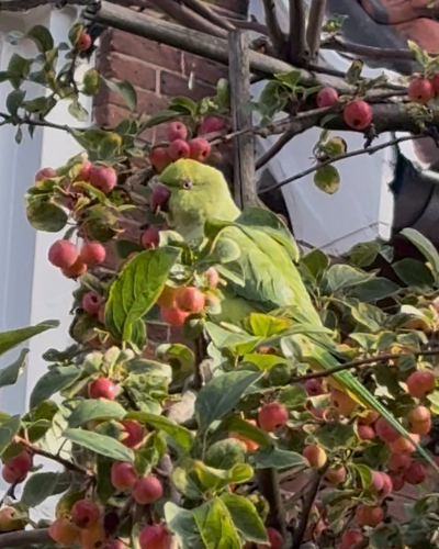
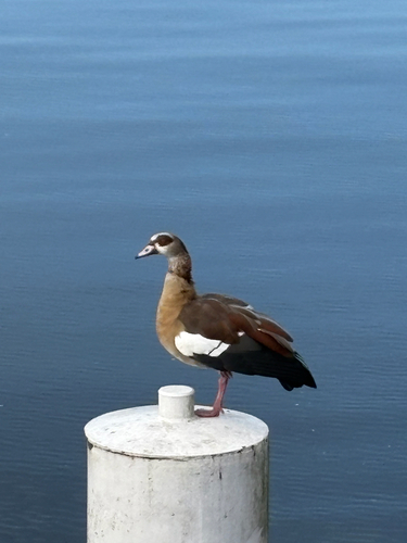
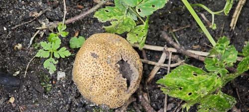
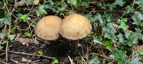
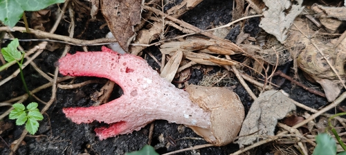
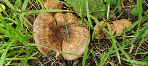
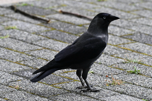
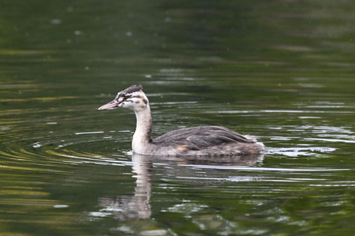
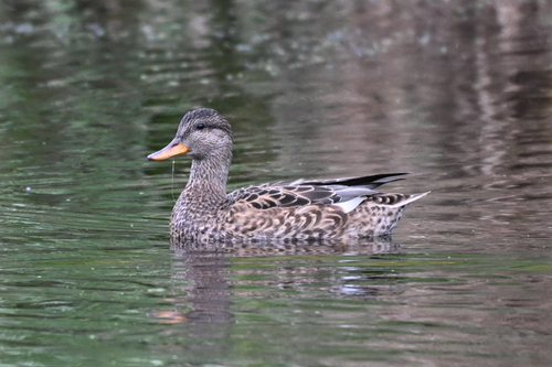
Research-grade observations from iNaturalist (within ~15 mi).
Events
Gallery
Official Identifiers
CBS — Statistics Netherlands
- CBS code
- 0633
- Population (Wikidata)
- 1,320
- Wikidata
- Q50993631
Gemeente codes via Wikidata P382
Sources
- • Wikipedia
- • Wikidata
- • iNaturalist
- • Open-Elevation
- • Open-Meteo / sunrise-sunset.org
- • Wikipedia Pageviews API
- • CBS — Statistics Netherlands, municipality code via Wikidata P382
- • CBS — Statistics Netherlands — Gemeente codes via Wikidata P382