Browse / Netherlands / Zeeland / Zierikzee
Zierikzee
Zeelandtown

Zierikzee
Total population
11,150
Air quality index
Demographic figures from CBS Netherlands. Overview below cites Wikipedia and may reference a different year.
City facts
Sister cities
- Saint-Hilaire-du-Harcouët
Facts from Wikidata (CC0).
Overview
Zierikzee is a small city in the southwest Netherlands, 50 km southwest of Rotterdam. It is situated in the municipality of Schouwen-Duiveland, Zeeland. The city hall of Schouwen-Duiveland is located in Zierikzee, its largest city. Zierikzee is connected to Oosterschelde through a canal.
Read more on WikipediaHistory & geography
History
Zierikzee, then located on the island of Schouwen, received city rights in 1248. In 1304, a fleet commissioned by the French and Dutch defeated a Flemish fleet in the naval Battle of Zierikzee. On 30 April 1917, a Royal Naval Air Service pilot entered Dutch airspace and mistakenly dropped eight bombs on Zierikzee, damaging several houses and killing a family of three. After initially denying the incident, the British government apologized and agreed to compensate the Dutch for damage and loss of life. In 1953, Zierikzee was damaged by the North Sea flood of 1953. The English town of Hatfield, Hertfordshire sent help and a friendship has developed. The two towns have been twinned. In 1997 the municipality of Zierikzee merged into that of Schouwen-Duiveland. In 2015, the last surviving example of the city's defensive cannons; cast in 1552, was donated to the city by the British coastguard. The coastguard had recovered it from a commercial diver, during a criminal investigation. The diver had found it off the Kent coast. On 27 June 2022, a tornado estimated at between F1 and F2 struck the city, killing one person and injuring nine others. Three hundred properties were damaged. File:Channel, Zierikzee, Netherlands.JPG|The channel that connects Zierikzee to Oosterschelde is mainly used by tourist boats. File:Velde-Zierikzee.png|View of Zierikzee (1618), by Esaias van der Velde File:Zierikzee 1649 Blaeu HR+.jpg|1649 map of Zierikzee (Zirizea) in Willem and Joan Blaeu's "Toonneel der Steden" File:Church, Zierikzee, Netherlands.JPG|The tower (Sint-Lievensmonstertoren) of Zierikzee was planned to be twice as high as it was eventually built. File:41012 Zuidhavenpoort zierikzee Met Noordhavenpoort.jpg|The Zuidhavenpoort and the Noordhavenpoort. File:Looking south along the…
Excerpted from the corresponding Wikipedia article (CC BY-SA).
Geography
Coordinates & boundaries from the US Census TIGER/Line shapefiles.
Climate
Air quality
Current readings from Open-Meteo Air Quality API (Copernicus CAMS European reanalysis).
Walkability
Amenities nearby
Wildlife & biodiversity
Most-observed species
- Eurasian SpoonbillPlatalea leucorodia Linnaeus, 1758 · Aves31,581
- Red-breasted MerganserMergus serrator Linnaeus, 1758 · Aves25,636
- Little Egret/Western Reef-HeronEgretta garzetta (Linnaeus, 1766) · Aves25,400
- Common RedshankTringa totanus (Linnaeus, 1758) · Aves24,143
- BrantBranta bernicla (Linnaeus, 1758) · Aves23,132
- Eurasian OystercatcherHaematopus ostralegus Linnaeus, 1758 · Aves22,864
- Eurasian CurlewNumenius arquata (Linnaeus, 1758) · Aves20,630
- Pied AvocetRecurvirostra avosetta Linnaeus, 1758 · Aves17,267
Citizen-science & research observations from the Global Biodiversity Information Facility (GBIF).
Earthquake history
Events from the USGS Earthquake Catalog (global) (FDSN Event Web Service).
Photos
Sights & places nearby
Notable people from here


People born within ~10 km, from Wikidata (CC0). Click any name for their Wikipedia article.
Nearby places in Zeeland
- Kerkwerve2.7 mi away · pop. 985
- Noordgouwe3.1 mi away · pop. 790
- Ouwerkerk3.2 mi away · pop. 600
- Nieuwerkerk3.4 mi away · pop. 2,640
- Dreischor3.8 mi away · pop. 985
- Zonnemaire4.6 mi away · pop. 750
- Colijnsplaat4.7 mi away · pop. 1,610
- Oosterland4.9 mi away · pop. 2,335
- Sirjansland5.1 mi away · pop. 350
- Brouwershaven5.3 mi away · pop. 1,330
- Serooskerke5.8 mi away · pop. 260
- Kats5.9 mi away · pop. 450
Geography & sun
Elevation, sunrise/sunset and daylight from Open-Meteo. Solar climatology from NASA POWER.
Nearby airports
Public attention
Pageview totals from the Wikimedia Pageviews API.
Books about Zierikzee
Search results from Open Library.
Recent natural events nearby
Ground air-quality sensors
Recently spotted species
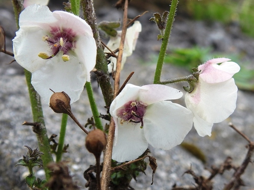
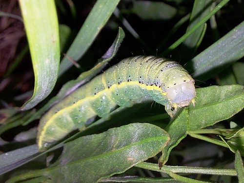
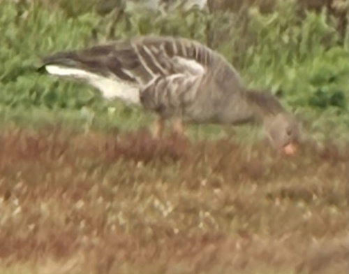
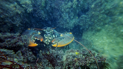
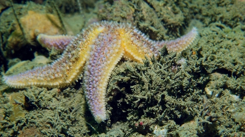
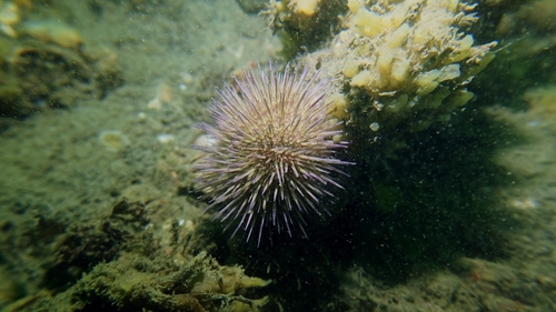
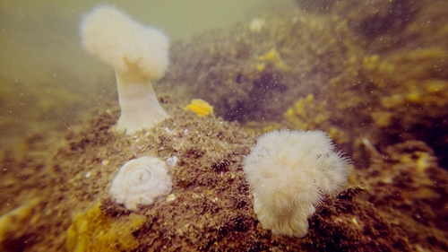
Research-grade observations from iNaturalist (within ~15 mi).
Events
Gallery
Official Identifiers
CBS — Statistics Netherlands
- CBS code
- 0732
- Population (Wikidata)
- 11,360
- Wikidata
- Q81076
Gemeente codes via Wikidata P382
Sources
- • Wikipedia
- • Wikidata
- • Open-Meteo Air Quality (CAMS)
- • USGS Earthquake Catalog (global feed)
- • GBIF (Global Biodiversity Information Facility)
- • iNaturalist
- • Open-Meteo / sunrise-sunset.org
- • Wikipedia Pageviews API
- • Open Library
- • CBS — Statistics Netherlands, municipality code via Wikidata P382
- • CBS — Statistics Netherlands — Gemeente codes via Wikidata P382