Browse / Netherlands / North Holland / Zuid-Scharwoude
Zuid-Scharwoude
North Hollandvillage

Zuid-Scharwoude
Total population
6,085
Demographic figures from CBS Netherlands. Overview below cites Wikipedia and may reference a different year.
City facts
Overview
Zuid-Scharwoude is a town in the Dutch province of North Holland. It is located in the municipality of Dijk en Waard, about 8 km northwest of Alkmaar.
Read more on WikipediaHistory & geography
History
The village was first mentioned in 1094 as Sudrekercha. The current name means "southern forest near Schoorl". Zuid (south) was added to distinguish from Noord-Scharwoude. Zuid-Scharwoude developed in the 11th century as a linear settlement along a dike. The Dutch Reformed church was built in the 15th century as a replacement of a 12th-century church, and renovated in 1819. In 1905, the tower collapsed and the church was shortened with a built-in tower. It used to be the capital of Langedijk. Since 2022 it has become part of the new municipality of Dijk en Waard.
Excerpted from the corresponding Wikipedia article (CC BY-SA).
Geography
Coordinates & boundaries from the US Census TIGER/Line shapefiles.
Climate
Air quality
Walkability
Amenities nearby
Wildlife & biodiversity
Earthquake history
Photos
Sights & places nearby
Notable people from here


People born within ~10 km, from Wikidata (CC0). Click any name for their Wikipedia article.
Nearby places in North Holland
- Noord-Scharwoude0.8 mi away · pop. 5,470
- Broek op Langedijk1.2 mi away · pop. 5,770
- Oudkarspel1.6 mi away · pop. 3,995
- Heerhugowaard2.2 mi away · pop. 54,950
- Waarland2.6 mi away · pop. 2,530
- Sint Pancras3 mi away · pop. 6,040
- Oude-Niedorp3.3 mi away · pop. 415
- Zijdewind3.8 mi away · pop. 385
- Warmenhuizen3.8 mi away · pop. 6,100
- 't Veld3.8 mi away · pop. 2,045
- Hensbroek3.9 mi away · pop. 1,355
- Oterleek3.9 mi away · pop. 635
Geography & sun
Elevation, sunrise/sunset and daylight from Open-Meteo. Solar climatology from NASA POWER.
Nearby airports
Public attention
Pageview totals from the Wikimedia Pageviews API.
Books about this place
Recent natural events nearby
Ground air-quality sensors
Recently spotted species
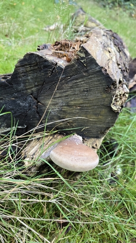
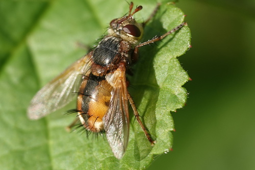
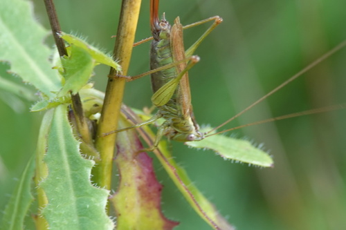
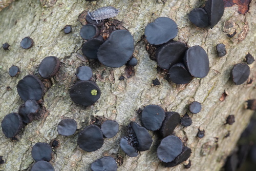
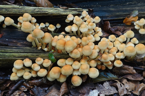
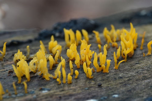
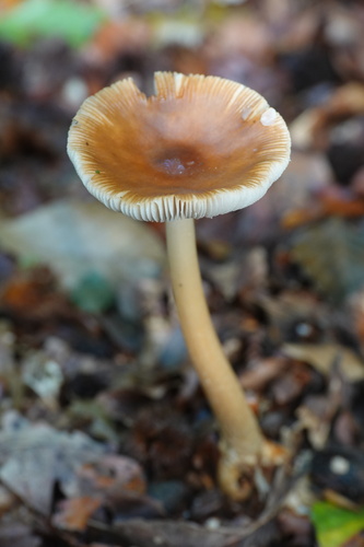
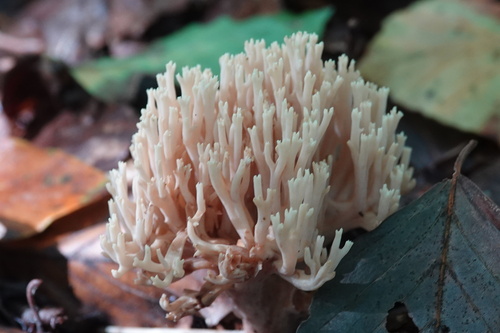
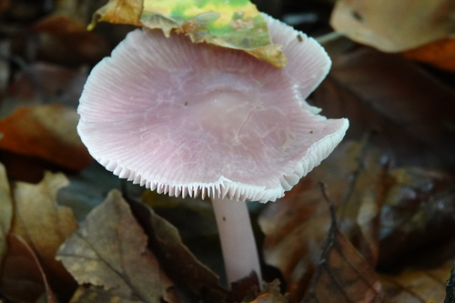
Research-grade observations from iNaturalist (within ~15 mi).
Events
Gallery
Official Identifiers
CBS — Statistics Netherlands
- CBS code
- 1238
- Population (Wikidata)
- 642
- Wikidata
- Q3576259
Gemeente codes via Wikidata P382
Sources
- • Wikipedia
- • Wikidata
- • iNaturalist
- • Open-Meteo / sunrise-sunset.org
- • Wikipedia Pageviews API
- • CBS — Statistics Netherlands, municipality code via Wikidata P382
- • CBS — Statistics Netherlands — Gemeente codes via Wikidata P382