Browse / United States / New Mexico / Albuquerque
Albuquerque
New Mexicocity

Albuquerque
Total population
560,333
Median home value
$324,600
Bachelor's+
Median income
$71,494
Founded
1706
Air quality index
Demographic figures from US Census Bureau · ACS 5-year estimates. Overview below cites Wikipedia and may reference a different year.
- Freeze Warning · SevereFreeze Warning issued October 16 at 12:00PM MDT until October 17 at 9:00AM MDT by NWS Albuquerque NM
Source: NOAA National Weather Service.
City facts
Sister cities
Facts from Wikidata (CC0).
Overview
Albuquerque is the most populous city in the U.S. state of New Mexico. Founded in 1706 as La Villa de Alburquerque by Santa Fe de Nuevo México governor Francisco Cuervo y Valdés, and named in honor of Francisco Fernández de la Cueva, 10th Duke of Alburquerque and Viceroy of New Spain, it was an outpost on El Camino Real, linking Mexico City to the northernmost territories of New Spain. It is the county seat of Bernalillo County.
Read more on WikipediaHistory & geography
History
Petroglyphs carved into basalt in the western part of the city bear testimony to a Native American presence in the area dating back many centuries. These are preserved in the Petroglyph National Monument. The Tanoan and Keresan peoples had lived along the Rio Grande for centuries before European colonists arrived in the area that developed as Albuquerque. By the 1500s, there were around 20 Tiwa pueblos along a stretch of river from present-day Algodones to the Rio Puerco confluence south of Belen. Of these, 12 or 13 were densely clustered near present-day Bernalillo, and the remainder were spread out to the south. Two Tiwa pueblos lie on the outskirts of present-day Albuquerque. Both have been continuously inhabited for many centuries: Sandia Pueblo was founded in the 14th century, and Pueblo of Isleta is documented in written records since the early 17th century. It was then chosen as the site of the San Agustín de la Isleta Mission, a Catholic mission. Before colonization, the Navajo, Apache, and Comanche peoples likely set up camps in the Albuquerque area, as there is evidence of trade and cultural exchange among these Native American groups dating back centuries before European arrival. Albuquerque was founded in 1706 as an outpost as La Villa de Alburquerque by Francisco Cuervo y Valdés in the province of Santa Fe de Nuevo México. The settlement was named after the original town of Viceroy Francisco Fernández de la Cueva, 10th duke of Alburquerque, who was from Alburquerque, Badajoz in southwest Spain. Albuquerque developed primarily for farming and sheep herds. It was a strategically located trading and military outpost along the Camino Real. It served other Tiquex and Hispano towns settled in the area, such as Barelas, Corrales, Isleta Pueblo, Los Ranchos,…
Geography
Albuquerque is located in north-central New Mexico. To its east are the Sandia–Manzano Mountains. The Rio Grande flows north to south through its center, while the West Mesa and Petroglyph National Monument make up the western part of the city. Albuquerque has one of the highest elevations of any major city in the U.S., ranging from above sea level near the Rio Grande to over in the foothill areas of Sandia Heights and Glenwood Hills. The civic apex is found in an undeveloped area within the Albuquerque Open Space; there, the terrain rises to an elevation of approximately , and the metropolitan area's highest point is Sandia Crest at an altitude of . According to the United States Census Bureau, Albuquerque has a total area of , of which is land and , or 0.96%, is water. Albuquerque lies within the fertile Rio Grande Valley with its Bosque forest, in the center of the Albuquerque Basin, flanked on the eastern side by the Sandia Mountains and to the west by the West Mesa. Located in central New Mexico, the city also has noticeable influences from the adjacent Colorado Plateau semi-desert, New Mexico Mountains forested with juniper and pine, and Southwest plateaus and plains steppe ecoregions, depending on where one is located. Albuquerque has one of the highest and most varied elevations of any major city in the United States, though the effects of this are greatly tempered by its southwesterly continental position. The elevation of the city ranges from 4,949 feet (1,508 m) above sea level near the Rio Grande (in the Valley) to 6,165 feet (1,879 m) in the foothill areas of Sandia Heights. At the Albuquerque International Sunport, the elevation is 5,355 feet (1,632 m) above sea level. The Rio Grande is classified, like…
Excerpted from the corresponding Wikipedia article (CC BY-SA).
Demographics & economy
Race & ethnicity
Source: US Census Bureau — American Community Survey, 5-year estimates.
Geography
Coordinates & boundaries from the US Census TIGER/Line shapefiles.
Climate
10-year averages from ERA5 reanalysis (Open-Meteo).
Current forecast
Forecast for Albuquerque, NM from NOAA NWS API.
Air quality
Current readings from Open-Meteo Air Quality API (Copernicus CAMS European reanalysis).
Industrial & pollution facilities
Natural hazard risk
Health (adults)
Age-adjusted prevalence estimates from CDC PLACES (latest release).
Walkability
Amenities nearby
Wildlife & biodiversity
Most-observed species
- House FinchHaemorhous mexicanus (P.L.Statius Müller, 1776) · Aves63,404
- White-winged DoveZenaida asiatica (Linnaeus, 1758) · Aves43,874
- Lesser GoldfinchSpinus psaltria (Say, 1822) · Aves33,517
- Mourning DoveZenaida macroura (Linnaeus, 1758) · Aves33,224
- MallardAnas platyrhynchos Linnaeus, 1758 · Aves31,154
- American RobinTurdus migratorius Linnaeus, 1766 · Aves30,344
- Spotted TowheePipilo maculatus Swainson, 1827 · Aves29,360
- Rock PigeonColumba livia J.F.Gmelin, 1789 · Aves28,834
Citizen-science & research observations from the Global Biodiversity Information Facility (GBIF).
Schools
Largest nearby schools
- VOLCANO VISTA HIGHHigh · ALBUQUERQUE · 2,216 students · 17.7:1 ratio
- ATRISCO HERITAGE ACADEMY HSHigh · ALBUQUERQUE · 2,114 students · 16.5:1 ratio
- LA CUEVA HIGHHigh · ALBUQUERQUE · 1,816 students · 19.1:1 ratio
- WEST MESA HIGHHigh · ALBUQUERQUE · 1,799 students · 15.5:1 ratio
- CIBOLA HIGHHigh · ALBUQUERQUE · 1,762 students · 17.4:1 ratio
- SANDIA HIGHHigh · ALBUQUERQUE · 1,728 students · 17.3:1 ratio
- ALBUQUERQUE HIGHHigh · ALBUQUERQUE · 1,714 students · 16.5:1 ratio
- ELDORADO HIGHOther · ALBUQUERQUE · 1,622 students · 16.4:1 ratio
Public K–12 schools within ~10 mi from Urban Institute Education Data Portal (NCES Common Core of Data, 2022).
Earthquake history
Most recent
- M 2.7 — 2026-09-152 km NNW of Las Nutrias, New Mexico
- M 2.7 — 2026-08-2411 km ESE of San Mateo, New Mexico
- M 4 — 2026-08-228 km SSE of San Mateo, New Mexico
- M 3 — 2026-08-1816 km WSW of Pueblitos, New Mexico
- M 3 — 2026-08-1815 km WSW of Pueblitos, New Mexico
- M 2.8 — 2026-08-1715 km W of Pueblitos, New Mexico
Events from the USGS Earthquake Catalog (global) (FDSN Event Web Service).
Photos
Sights & places nearby
Notable people from here


People born within ~10 km, from Wikidata (CC0). Click any name for their Wikipedia article.
Nearby places in New Mexico
- Los Ranchos de Albuquerque4 mi away
- Edith Enclave8.1 mi away
- Corrales9.4 mi away · pop. 8,555
- Sandia Heights10.2 mi away
- Pajarito Mesa11.5 mi away
- Cedar Crest15.1 mi away
- Bernalillo15.3 mi away
- Tijeras15.3 mi away · pop. 524
- Sandia Park16.4 mi away
- Santa Ana Pueblo18.6 mi away
- Sandia Knolls20 mi away · pop. 1,445
- Los Lunas22.5 mi away
Geography & sun
Elevation, sunrise/sunset and daylight from Open-Meteo. Solar climatology from NASA POWER.
Nearby airports
Public attention
Pageview totals from the Wikimedia Pageviews API.
Books about Albuquerque


Search results from Open Library.
Recent natural events nearby
- Wildfire WHISKEY, Torrance, New MexicoWildfires · 2026-08-21 · 32 mi
- Wildfire Frijoles, Santa Fe, New MexicoWildfires · 2026-08-05 · 71 mi
- Wildfire 4V, San Miguel, New MexicoWildfires · 2026-08-29 · 136 mi
- Wildfire LAUGHLIN, Colfax, New MexicoWildfires · 2026-08-25 · 157 mi
- Wildfire Swiss Roll, Archuleta, ColoradoWildfires · 2026-08-20 · 158 mi
- Wildfire Fowl, Harding, New MexicoWildfires · 2026-09-02 · 164 mi
- Prescribed Fire D6 Wallow West Unit 6 RX, Apache, ArizonaWildfires · 2026-09-13 · 183 mi
- Wildfire Post, Las Animas, ColoradoWildfires · 2026-08-11 · 185 mi
Wildfires, storms and other events from NASA EONET (last 12 months, within 250 mi).
Ground air-quality sensors
Recently spotted species
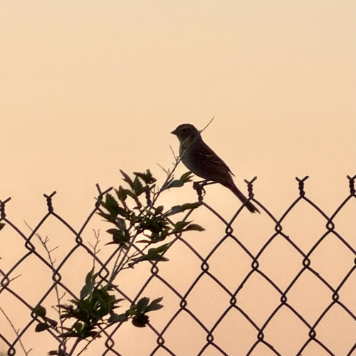
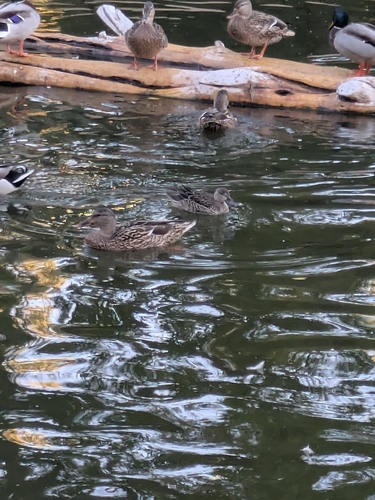
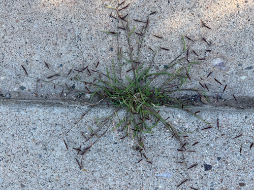
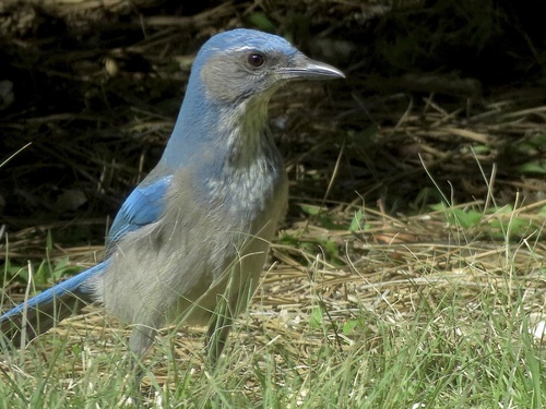
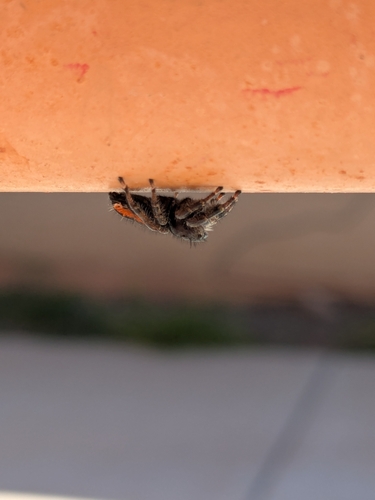
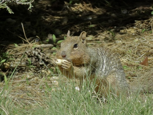
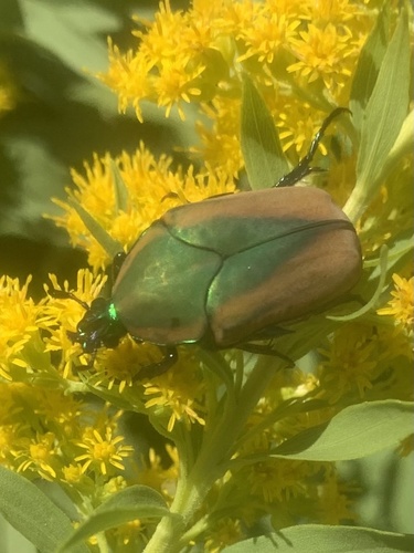
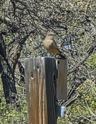
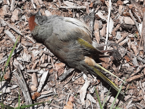
Research-grade observations from iNaturalist (within ~15 mi).
Nearest stream gauge
Events
Notable, recurring, and historical events associated with Albuquerque, sourced from Wikidata.
Source: Wikidata (CC0).
Gallery
Geotagged photos within ~6 miles of Albuquerque, from Wikimedia Commons contributors.
 0 mi
0 mi.jpg) 0 mi
0 mi.jpg) 0.1 mi
0.1 mi.jpg) 0.1 mi
0.1 mi_in_Albuquerque,_New_Mexico.jpg) 0.4 mi
0.4 mi_in_Albuquerque,_New_Mexico.jpg) 0.4 mi
0.4 mi 0.5 mi
.jpg) 0.6 mi
0.6 mi.png) 0.6 mi
0.6 mi.png) 0.6 mi
0.6 mi.png) 0.6 mi
0.6 mi.png) 0.6 mi
0.6 mi.png) 0.6 mi
0.6 mi.png) 0.6 mi
0.6 mi.png) 0.6 mi
0.6 mi 0.7 mi
.jpg) 0.7 mi
0.7 mi 0.8 mi
 0.8 mi
 0.8 mi
 0.8 mi
 0.8 mi
 0.8 mi
 0.8 mi
Photos via Wikimedia Commons — see each image page for license & attribution.
Sources
- • Wikipedia
- • US Census Bureau (ACS 5-year estimates)
- • Open-Meteo (ERA5 reanalysis)
- • NOAA National Weather Service
- • Wikimedia Commons
- • Wikidata
- • Open-Meteo Air Quality (CAMS)
- • USGS Earthquake Catalog (global feed)
- • NCES via Urban Institute Education Data Portal
- • GBIF (Global Biodiversity Information Facility)
- • iNaturalist
- • CDC PLACES
- • Open-Elevation
- • Open-Meteo / sunrise-sunset.org
- • Wikipedia Pageviews API
- • Open Library
- • NASA EONET