Browse / United States / New Mexico / Arroyo Hondo
Arroyo Hondo
New MexicoCDP
Total population
135
Median home value
$893,500
Bachelor's+
Median income
$0
Demographic figures from US Census Bureau · ACS 5-year estimates. Overview below cites Wikipedia and may reference a different year.
City facts
Overview
Situated in New Mexico, United States, Arroyo Hondo is a small census-designated community. Its coordinates of 35.610°, -105.945° place it in the warm-temperate zone of the northern hemisphere. Around 135 people are recorded as living there in the most recent open data. The administrative footprint covers about 8.2 km². Population density therefore averages about 16 per km², low overall population density. The location receives about 1,983 kWh/m² of solar irradiance per year and sunshine for roughly 78% of daylight hours. Climatically, locations at this latitude tend to experience warm summers and cool winters. The remainder of this page draws on open public data to describe the area's demographics, climate, environment and nearby amenities.
Summary composed automatically from structured open data on this page. See our Terms for details.
History & geography
Demographics & economy
Race & ethnicity
Source: US Census Bureau — American Community Survey, 5-year estimates.
Geography
Coordinates & boundaries from the US Census TIGER/Line shapefiles.
Climate
Current forecast
Forecast for Arroyo Hondo, NM from NOAA NWS API.
Air quality
Industrial & pollution facilities
Natural hazard risk
Health (adults)
Age-adjusted prevalence estimates from CDC PLACES (latest release).
Walkability
Amenities nearby
Wildlife & biodiversity
Schools
Largest nearby schools
- SANTA FE HIGHHigh · SANTA FE · 1,599 students · 17.8:1 ratio
- NEW MEXICO CONNECTIONS ACADEMYOther · SANTA FE · 1,401 students · 21.6:1 ratio
- CAPITAL HIGHHigh · SANTA FE · 1,398 students · 17.3:1 ratio
- EL CAMINO REAL ACADEMY COMMUNITYElementary · SANTA FE · 778 students · 14.1:1 ratio
- NINA OTERO COMMUNITY SCHOOLElementary · SANTA FE · 682 students · 15.9:1 ratio
- TURQUOISE TRAIL CHARTER SCHOOLElementary · SANTA FE · 677 students · 15:1 ratio
- PINON ELEMENTARYElementary · SANTA FE · 545 students · 16:1 ratio
- EDWARD ORTIZ MIDDLEMiddle · SANTA FE · 441 students · 11:1 ratio
Public K–12 schools within ~10 mi from Urban Institute Education Data Portal (NCES Common Core of Data, 2022).
Earthquake history
Photos
Sights & places nearby
Notable people from here


People born within ~10 km, from Wikidata (CC0). Click any name for their Wikipedia article.
Nearby places in New Mexico
- Seton Village1 mi away
- Santa Fe Foothills2.9 mi away
- Cañada de los Alamos4.9 mi away
- Eldorado at Santa Fe5.8 mi away
- Valle Vista6.6 mi away · pop. 729
- Hyde Park7.7 mi away
- Lamy9.2 mi away
- Tesuque9.7 mi away · pop. 1,079
- Peak Place12.5 mi away · pop. 427
- Encantado12.8 mi away
- Tesuque Pueblo13.8 mi away
- Chupadero14.2 mi away
Geography & sun
Elevation, sunrise/sunset and daylight from Open-Meteo. Solar climatology from NASA POWER.
Nearby airports
Public attention
Pageview totals from the Wikimedia Pageviews API.
Books about Arroyo Hondo
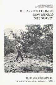
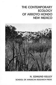
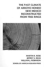
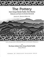


Search results from Open Library.
Recent natural events nearby
- Wildfire Frijoles, Santa Fe, New MexicoWildfires · 2026-08-05 · 21 mi
- Wildfire WHISKEY, Torrance, New MexicoWildfires · 2026-08-21 · 70 mi
- Wildfire Rayado Mesa, Colfax, New MexicoWildfires · 2026-07-27 · 79 mi
- Wildfire 4V, San Miguel, New MexicoWildfires · 2026-08-29 · 93 mi
- Wildfire LAUGHLIN, Colfax, New MexicoWildfires · 2026-08-25 · 104 mi
- Wildfire Rio Blanco, Archuleta, ColoradoWildfires · 2026-07-28 · 120 mi
- Wildfire Fowl, Harding, New MexicoWildfires · 2026-09-02 · 121 mi
- Wildfire Swiss Roll, Archuleta, ColoradoWildfires · 2026-08-20 · 131 mi
Wildfires, storms and other events from NASA EONET (last 12 months, within 250 mi).
Ground air-quality sensors
Recently spotted species
Nearest stream gauge
Events
Gallery
Sources
- • US Census Bureau (ACS 5-year estimates)
- • NOAA National Weather Service
- • Wikidata
- • NCES via Urban Institute Education Data Portal
- • CDC PLACES
- • Open-Meteo / sunrise-sunset.org
- • Wikipedia Pageviews API
- • Open Library
- • NASA EONET