Browse / United States / New Mexico / Cimarron
Cimarron
New Mexicovillage

Cimarron
Total population
701
Median home value
$126,600
Bachelor's+
Median income
$41,324
Demographic figures from US Census Bureau · ACS 5-year estimates. Overview below cites Wikipedia and may reference a different year.
City facts
Facts from Wikidata (CC0).
Overview
Cimarron is a village in Colfax County, New Mexico, United States, which sits on the eastern slopes of the Sangre de Cristo Mountains. The population was 792 at the 2020 census, making it the fourth most populous municipality in Colfax County.
Read more on WikipediaHistory & geography
History
Cimarron is located on the land of what became known as the Maxwell Land Grant. In 1842, Lucien B. Maxwell, a fur trapper, came to the Beaubien-Miranda Ranch in northern New Mexico and courted and married Luz Beaubien, one of the owner's six daughters. He eventually inherited the ranch and built a mansion in 1858 on the future town site. Maxwell built the Aztec Mill in 1864. It is preserved as the Old Mill Museum, operated by the Cimarron Historical Society. The museum's collection includes working mill parts; Native American tools, weapons and pottery; Maxwell Land Grant paperwork and documents; and other materials. Cimarron was officially chartered in 1859 and was named for the Spanish word used to describe a mustang, meaning "wild" or "unbroken". Cimarron was the county seat of Colfax County beginning in 1872, when it replaced Elizabethtown. At that time, Cimarron was a stage stop on the Mountain Branch of the Santa Fe Trail. In 1881, the county seat was moved to Springer, a town on the Atchison, Topeka and Santa Fe Railway. It was during this time that Lucien Maxwell, due to rising tensions, sold the Maxwell Land Grant to a group of investors, with the resultant Colfax County War in which more than two hundred people were killed. In 1905, the St. Louis, Rocky Mountain and Pacific Railway laid tracks from Raton to Ute Park, with the intent to haul coal between Raton and Cimarron. Passengers used the daily train service, as well as ranchers who moved agricultural animals. During World War II, the tracks were removed, with the steel to be recycled to help with the shortage during the war effort. Soon after the tracks were laid through town, tracks were also laid 22 miles up Ponil Canyon by the Cimarron and Northwestern Railway Company, to haul timber from the…
Geography
Cimarron is located in west-central Colfax County on the north bank of the Cimarron River, where it emerges from the Cimarron Range of the Sangre de Cristo Mountains. U.S. Route 64 passes through the village, leading west up the Cimarron Canyon to Eagle Nest and northeast to Raton, the Colfax County seat. New Mexico State Road 58 leads east from Cimarron to Interstate 25, north of Springer. West of Cimarron is the Palisades Sill, with high cliffs surrounding the Cimarron River.
Excerpted from the corresponding Wikipedia article (CC BY-SA).
Demographics & economy
Race & ethnicity
Source: US Census Bureau — American Community Survey, 5-year estimates.
Geography
Coordinates & boundaries from the US Census TIGER/Line shapefiles.
Climate
Current forecast
Forecast for Cimarron, NM from NOAA NWS API.
Air quality
Industrial & pollution facilities
Natural hazard risk
Health (adults)
Walkability
Amenities nearby
Wildlife & biodiversity
Most-observed species
- American RobinTurdus migratorius Linnaeus, 1766 · Aves431
- Common RavenCorvus corax Linnaeus, 1758 · Aves280
- Spotted TowheePipilo maculatus Swainson, 1827 · Aves257
- Western Wood-PeweeContopus sordidulus P.L.Sclater, 1859 · Aves219
- mule deerOdocoileus hemionus (Rafinesque, 1817) · Mammalia218
- Broad-tailed HummingbirdSelasphorus platycercus (Swainson, 1827) · Aves217
- Northern FlickerColaptes auratus (Linnaeus, 1758) · Aves217
- Turkey VultureCathartes aura (Linnaeus, 1758) · Aves200
Citizen-science & research observations from the Global Biodiversity Information Facility (GBIF).
Schools
Earthquake history
Photos
Sights & places nearby
Notable people from here
Geography & sun
Elevation, sunrise/sunset and daylight from Open-Meteo. Solar climatology from NASA POWER.
Nearby airports
Public attention
Pageview totals from the Wikimedia Pageviews API.
Books about Cimarron


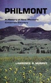
Search results from Open Library.
Recent natural events nearby
- Schwachheim Wildfire, Las Animas, ColoradoWildfires · 2026-04-12 · 46 mi
- Trigg Wildfire, San Miguel, New MexicoWildfires · 2026-05-21 · 86 mi
- Poitrey Canyon Wildfire, Las Animas, ColoradoWildfires · 2026-04-24 · 90 mi
- Line Wildfire, Quay, New MexicoWildfires · 2026-05-14 · 123 mi
- Sparks Wildfire, Quay, New MexicoWildfires · 2026-04-28 · 124 mi
- Sharpe Wildfire, Cimarron, OklahomaWildfires · 2026-05-16 · 127 mi
- Mimms Wildfire, Quay, New MexicoWildfires · 2026-05-14 · 129 mi
- ENCINO 2 Wildfire, Torrance, New MexicoWildfires · 2026-04-14 · 132 mi
Wildfires, storms and other events from NASA EONET (last 12 months, within 250 mi).
Ground air-quality sensors
Recently spotted species
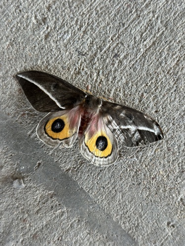
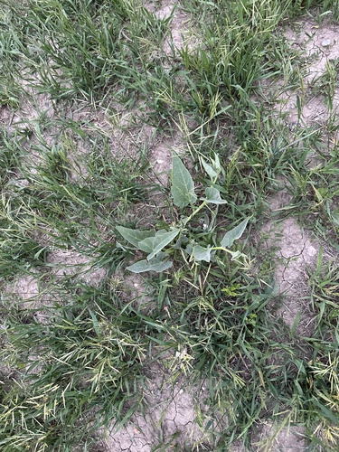
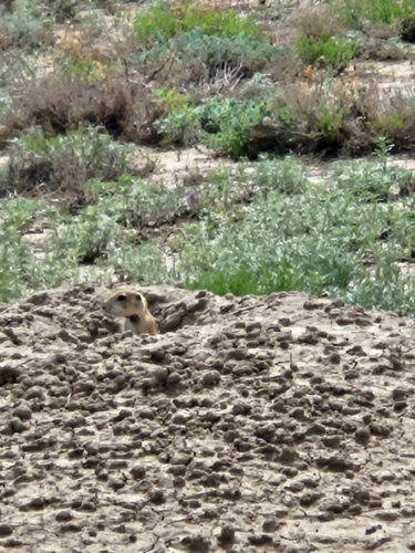
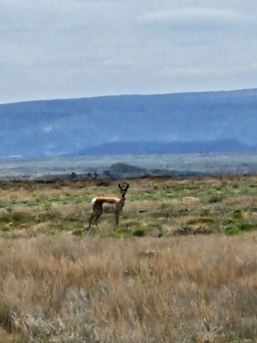
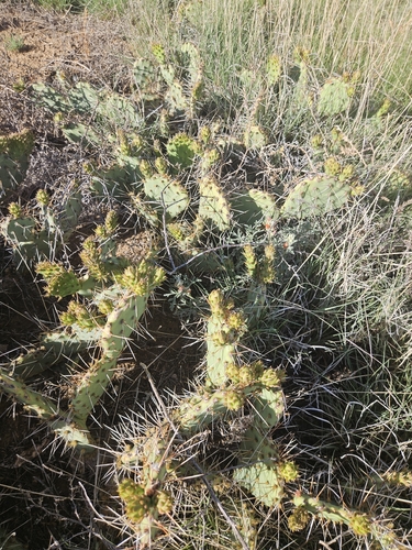
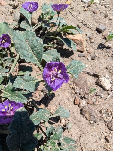
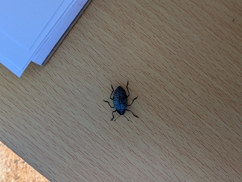
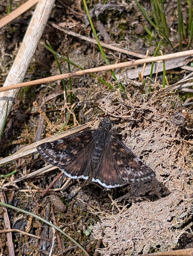
Research-grade observations from iNaturalist (within ~15 mi).
Nearest stream gauge
Events
Gallery
Geotagged photos within ~6 miles of Cimarron, from Wikimedia Commons contributors.
 0.6 mi
 0.7 mi
 0.8 mi
 0.8 mi
 4 mi
4 mi 4 mi
4 mi 4 mi
4 mi 4 mi
4 mi 4 mi
4 mi 4 mi
4 mi 4 mi
4 mi 4 mi
4 mi 4 mi
4 mi 4 mi
4 mi 4 mi
4 mi 4.4 mi
.jpg) 4.4 mi
4.4 mi 4.5 mi
 4.6 mi
 5 mi
5 mi 5 mi
5 mi 5 mi
5 mi 5 mi
5 mi 6.2 mi
Photos via Wikimedia Commons — see each image page for license & attribution.
Sources
- • Wikipedia
- • US Census Bureau (ACS 5-year estimates)
- • NOAA National Weather Service
- • Wikimedia Commons
- • Wikidata
- • GBIF (Global Biodiversity Information Facility)
- • iNaturalist
- • Open-Meteo / sunrise-sunset.org
- • Wikipedia Pageviews API
- • Open Library
- • NASA EONET