Browse / United States / New Mexico / Cloudcroft
Cloudcroft
New Mexicovillage

Cloudcroft
Total population
630
Median home value
$234,800
Bachelor's+
Median income
$56,563
Demographic figures from US Census Bureau · ACS 5-year estimates. Overview below cites Wikipedia and may reference a different year.
- Flood Watch · SevereFlood Watch issued September 24 at 12:18PM MDT until September 25 at 6:00AM MDT by NWS El Paso Tx/Santa Teresa NM
Source: NOAA National Weather Service.
City facts
Facts from Wikidata (CC0).
Overview
Cloudcroft is a village in Otero County, New Mexico, United States, and is located within the Lincoln National Forest. The population was 750 at the 2020 census.
Read more on WikipediaHistory & geography
History
In the 1890s, the El Paso and Northeastern Railroad, organized by brothers Charles Bishop Eddy and John Arthur Eddy, arrived in the newly founded town of Alamogordo intending to continue the rail line north to the mining town of White Oaks and beyond. This required a steady supply of timber. In 1898 the Eddy brothers sent a survey crew into the Sacramento Mountains to determine the feasibility of extending a line up the summit to harvest the forests. The crew reported that not only was it possible, but the area could attract visitors. The name of Cloudcroft – a pasture for the clouds – was suggested and work on the line soon began. By the end of the year, the rail line had been extended as far as Toboggan Canyon, and construction was started on a pavilion at the summit to provide accommodations for the anticipated tourists. It consisted of a dining room, kitchen, parlor, entertainment hall, and 40 tents set on wooden platforms. In May 1899 the railroad reached Cox Canyon As automobiles grew in popularity, the rail line began to lose money. Passenger service ended in 1938, and the last freight train ran in 1947. The extant Mexican Canyon Trestle of the now defunct rail line is located near Cloudcroft. In 2010, fire destroyed two downtown buildings and caused smoke damage to other businesses in downtown Cloudcroft.
Geography
According to the United States Census Bureau, the village has a total area of , all land. Cloudcroft has a humid continental climate (Köppen: Dfb). It is the southernmost town area on the North American continent with a climatic continental subtype.
Excerpted from the corresponding Wikipedia article (CC BY-SA).
Demographics & economy
Race & ethnicity
Source: US Census Bureau — American Community Survey, 5-year estimates.
Geography
Coordinates & boundaries from the US Census TIGER/Line shapefiles.
Climate
Current forecast
Forecast for Cloudcroft, NM from NOAA NWS API.
Air quality
Industrial & pollution facilities
Natural hazard risk
Health (adults)
Age-adjusted prevalence estimates from CDC PLACES (latest release).
Walkability
Amenities nearby
Wildlife & biodiversity
Most-observed species
- Larrea tridentata (DC.) Coult.Larrea tridentata (DC.) Coult. · Magnoliopsida1,914
- Steller's JayCyanocitta stelleri (Gmelin, 1788) · Aves1,323
- Mountain ChickadeePoecile gambeli (Ridgway, 1886) · Aves1,158
- Dark-eyed JuncoJunco hyemalis (Linnaeus, 1758) · Aves1,144
- Broad-tailed HummingbirdSelasphorus platycercus (Swainson, 1827) · Aves997
- Common RavenCorvus corax Linnaeus, 1758 · Aves964
- eagle-claw cactusEchinocactus horizonthalonius Lem. · Magnoliopsida892
- American RobinTurdus migratorius Linnaeus, 1766 · Aves845
Citizen-science & research observations from the Global Biodiversity Information Facility (GBIF).
Schools
Largest nearby schools
- CLOUDCROFT ELEMENTARYElementary · CLOUDCROFT · 165 students · 15:1 ratio
- CLOUDCROFT HIGHHigh · CLOUDCROFT · 113 students · 9.4:1 ratio
- CLOUDCROFT MIDDLEMiddle · CLOUDCROFT · 101 students · 14.4:1 ratio
- HIGH ROLLS MOUNTAIN PARK ELEMENTARYElementary · HIGH ROLLS · 19 students · 9.5:1 ratio
Public K–12 schools within ~10 mi from Urban Institute Education Data Portal (NCES Common Core of Data, 2022).
Earthquake history
Most recent
- M 2.7 — 2025-05-066 km W of Nogal, New Mexico
- M 2.8 — 2025-01-0350 km NW of Tularosa, New Mexico
- M 3 — 2022-10-252 km NNE of La Luz, New Mexico
- M 2.7 — 2008-04-1617 km W of Carrizozo, New Mexico
- M 3.5 — 2004-11-1426 km NW of Tularosa, New Mexico
Events from the USGS Earthquake Catalog (global) (FDSN Event Web Service).
Photos
Sights & places nearby
Notable people from here


People born within ~10 km, from Wikidata (CC0). Click any name for their Wikipedia article.
Nearby places in New Mexico
- Boles Acres16.9 mi away · pop. 1,848
- Tularosa18.6 mi away · pop. 2,597
- Holloman AFB22.3 mi away
- Nogal40.5 mi away · pop. 80
- White Sands58.7 mi away · pop. 1,609
- Organ62.3 mi away · pop. 152
- Chaparral74 mi away · pop. 18,186
- University Park75.2 mi away · pop. 2,782
- Tortugas75.9 mi away · pop. 381
- Artesia76.2 mi away
- Morningside77.7 mi away
- Vado78.4 mi away · pop. 2,895
Geography & sun
Elevation, sunrise/sunset and daylight from Open-Meteo. Solar climatology from NASA POWER.
Nearby airports
Public attention
Pageview totals from the Wikimedia Pageviews API.
Books about Cloudcroft
Search results from Open Library.
Recent natural events nearby
- Wildfire CATO 2, Chaves, New MexicoWildfires · 2026-08-15 · 110 mi
- Wildfire WHISKEY, Torrance, New MexicoWildfires · 2026-08-21 · 126 mi
- Wildfire 4V, San Miguel, New MexicoWildfires · 2026-08-29 · 196 mi
- Wildfire Frijoles, Santa Fe, New MexicoWildfires · 2026-08-05 · 204 mi
- Wildfire Fowl, Harding, New MexicoWildfires · 2026-09-02 · 212 mi
- Prescribed Fire D6 Wallow West Unit 6 RX, Apache, ArizonaWildfires · 2026-09-13 · 222 mi
- Wildfire Brown, Oldham, TexasWildfires · 2026-08-09 · 229 mi
- Wildfire Paddy Creek, Apache, ArizonaWildfires · 2026-08-25 · 231 mi
Wildfires, storms and other events from NASA EONET (last 12 months, within 250 mi).
Ground air-quality sensors
Recently spotted species
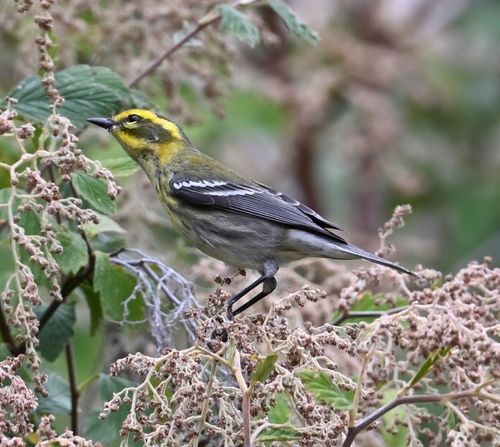
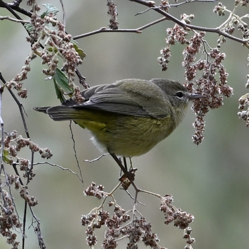
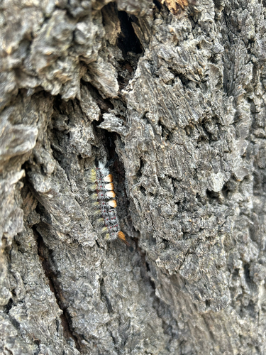
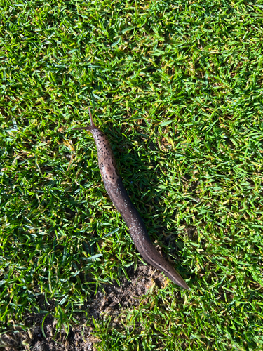
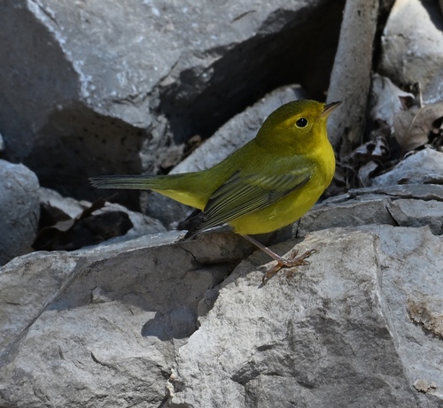
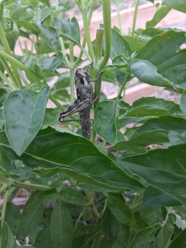
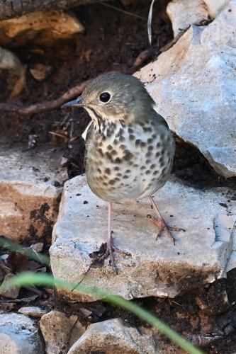
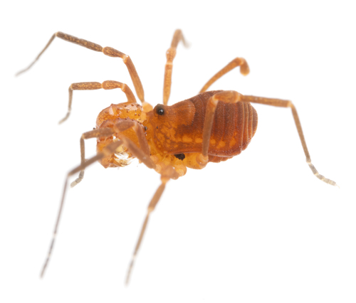

Research-grade observations from iNaturalist (within ~15 mi).
Nearest stream gauge
Events
Gallery
Sources
- • Wikipedia
- • US Census Bureau (ACS 5-year estimates)
- • NOAA National Weather Service
- • Wikidata
- • USGS Earthquake Catalog (global feed)
- • NCES via Urban Institute Education Data Portal
- • GBIF (Global Biodiversity Information Facility)
- • iNaturalist
- • CDC PLACES
- • Open-Meteo / sunrise-sunset.org
- • Wikipedia Pageviews API
- • Open Library
- • NASA EONET