Browse / United States / New Mexico / Crystal
Crystal
New MexicoCDP

Crystal
Total population
287
Median home value
$89,000
Bachelor's+
Median income
$43,125
Demographic figures from US Census Bureau · ACS 5-year estimates. Overview below cites Wikipedia and may reference a different year.
City facts
Overview
Crystal is an unincorporated community and census-designated place (CDP) on the Navajo Nation in San Juan and McKinley counties in New Mexico, United States. The population was 302 at the 2020 census. It is located along the base of the Chuska Mountains, at the western end of Narbona Pass.
Read more on WikipediaHistory & geography
History
The first known trader in the Washington Pass area (now Narbona Pass) was Romulo Martinez, a Spanish-American from Fort Defiance, in 1873. The names of other traders are recorded for the following years, but they seem all to have been temporary, trading from tents in the summer season. Crystal was founded in 1884 when a trading post was established. Its name likely derives from its Navajo moniker meaning "crystal water flows out." In 1896 John Bradford Moore arrived, an Irishman from Sheridan, Wyoming. He bought the trading site, then cut timber in the mountains and hauled it down to build a log trading post, which he stocked with supplies carted from the rail head in Gallup. He named his post at the western mouth of Narbona Pass the Crystal Trading Post. During the winter months, he employed Navajo weavers to make rugs. Moore ensured that the wool and the weaving was good quality, and created designs of his own, quickly gaining a reputation as a source of good quality rugs. Moore understood what the market in the eastern United States would value, and in his catalog stressed the use of natural materials and primitive technology. Despite this, he introduced production-line techniques, and had no problem with using machine-produced yarns with synthetic dyes. Traders in Navajo rugs had to keep costs down to be able to offer competitive prices, so wages were low. Talking of the weaver's life, Moore said, "there is no more dismal wage proposition than her remuneration for her part in the industry. Given any other paying outlet for her labor, there would very soon be no such thing as a blanket industry ... it is her one and only way of earning money." Moore was succeeded in 1911 by his manager, A. J. Molohon. The Crystal Trading Post was owned by the C.C. Manning…
Geography
Crystal is in southwestern San Juan County, with a small portion extending into the northwest corner of McKinley County. New Mexico State Road 134 has its terminus in Crystal and leads northeast over Narbona Pass to U.S. Route 491 at Sheep Springs. According to the U.S. Census Bureau, the Crystal CDP has a total area of , of which , or 0.44%, are water. The community is drained by Crystal Creek, which flows west toward Coyote Wash and Canyon de Chelly.
Excerpted from the corresponding Wikipedia article (CC BY-SA).
Demographics & economy
Race & ethnicity
Source: US Census Bureau — American Community Survey, 5-year estimates.
Geography
Coordinates & boundaries from the US Census TIGER/Line shapefiles.
Climate
Current forecast
Forecast for Crystal, NM from NOAA NWS API.
Air quality
Industrial & pollution facilities
Natural hazard risk
Health (adults)
Walkability
Amenities nearby
Wildlife & biodiversity
Schools
Earthquake history
Photos
Sights & places nearby
Notable people from here
Nearby places in New Mexico
Geography & sun
Elevation, sunrise/sunset and daylight from Open-Meteo. Solar climatology from NASA POWER.
Nearby airports
Public attention
Pageview totals from the Wikimedia Pageviews API.
Books about Crystal



Search results from Open Library.
Recent natural events nearby
- Prescribed Fire D7 Arab RX, Apache, ArizonaWildfires · 2026-09-14 · 132 mi
- Prescribed Fire D7 Butler West RX, Apache, ArizonaWildfires · 2026-09-14 · 134 mi
- Wildfire Rio Blanco, Archuleta, ColoradoWildfires · 2026-07-28 · 134 mi
- Prescribed Fire D7 Apprentice RX, Apache, ArizonaWildfires · 2026-09-14 · 136 mi
- Prescribed Fire D7 Rhoton Seep RX, Apache, ArizonaWildfires · 2026-09-14 · 137 mi
- Prescribed Fire D7 Brushy Mtn South RX, Apache, ArizonaWildfires · 2026-09-14 · 139 mi
- Prescribed Fire D7 Morgan Unit 5 RX, Navajo, ArizonaWildfires · 2026-09-14 · 140 mi
- Wildfire Swiss Roll, Archuleta, ColoradoWildfires · 2026-08-20 · 154 mi
Wildfires, storms and other events from NASA EONET (last 12 months, within 250 mi).
Ground air-quality sensors
Recently spotted species
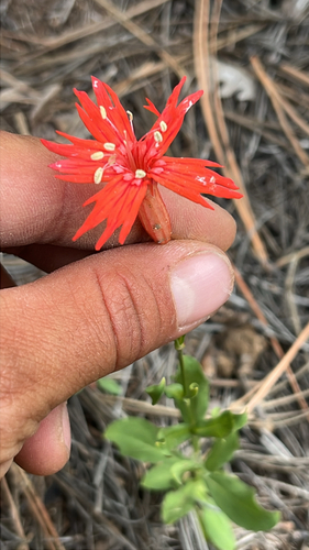
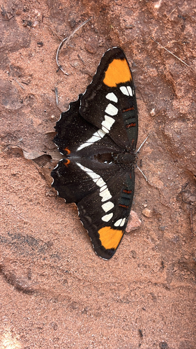
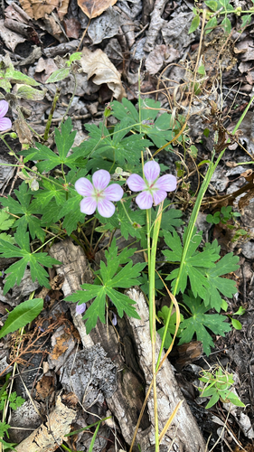
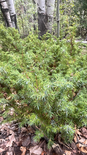
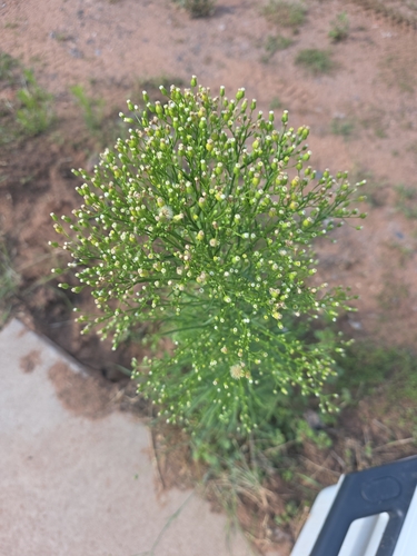
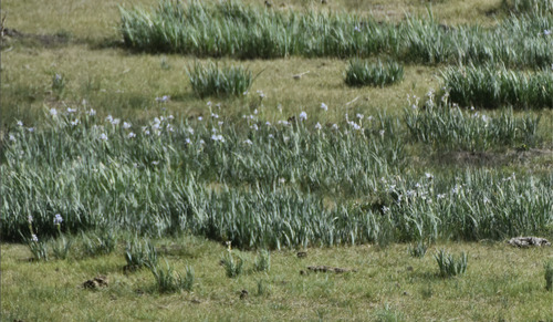
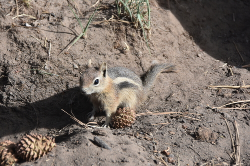
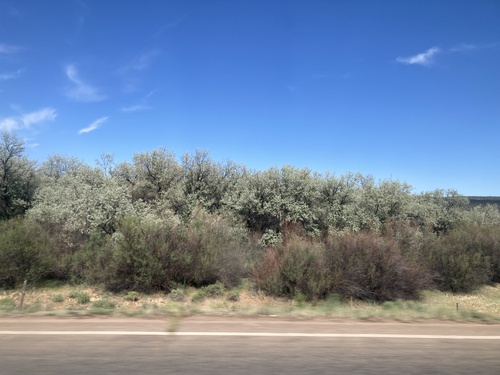
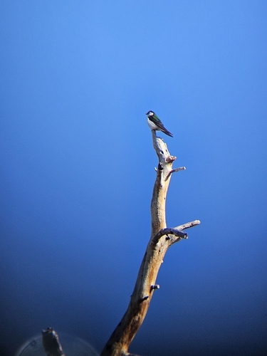
Research-grade observations from iNaturalist (within ~15 mi).
Nearest stream gauge
Live readings from USGS NWIS · measured 2026-09-24 13:00 UTC.
Events
Gallery
Sources
- • Wikipedia
- • US Census Bureau (ACS 5-year estimates)
- • NOAA National Weather Service
- • USGS NWIS (water data)
- • iNaturalist
- • Open-Meteo / sunrise-sunset.org
- • Wikipedia Pageviews API
- • Open Library
- • NASA EONET