Browse / United States / New Mexico / Fort Sumner
Fort Sumner
New Mexicovillage

Fort Sumner
Total population
938
Median home value
$0
Bachelor's+
Median income
$0
Demographic figures from US Census Bureau · ACS 5-year estimates. Overview below cites Wikipedia and may reference a different year.
- Flood Watch · SevereFlood Watch issued September 23 at 2:00AM MDT until September 24 at 6:00AM MDT by NWS Albuquerque NM
Source: NOAA National Weather Service.
City facts
Facts from Wikidata (CC0).
Overview
Fort Sumner is a village in and the county seat of De Baca County, New Mexico, United States. As of the 2020 census, Fort Sumner had a population of 889. Fort Sumner is the spring and fall home of the Columbia Scientific Balloon Facility.
Read more on WikipediaHistory & geography
History
Named after former New Mexico Territory military governor Edwin Vose Sumner, U.S. Fort Sumner was a military fort established in 1862 and charged with the internment of nearby Navajo and Mescalero Apache populations from 1863 to 1868. The federal government closed the fort in 1868 and sold its buildings to Lucien Maxwell, a prominent New Mexico landowner, in 1870. In the latter 1870s Maxwell's son Pete and daughter Paulita befriended legendary outlaw Billy the Kid, and it was in his house that Billy was killed by Pat Garrett. Billy the Kid is buried in the old military cemetery in Fort Sumner, as is Lucien Maxwell. In 1866, the U.S. government was holding thousands of Native American Indians at Fort Sumner after they were subdued by Kit Carson. Charles Goodnight and Oliver Loving saw a business opportunity and decided to sell beef to the United States Government so that the captive, displaced, and imprisoned Native Americans could be fed. This enterprise led to the establishment of the Goodnight-Loving Trail. In March 1908, the Eastern Railway of New Mexico (as subsidiary of the Atchison, Topeka and Santa Fe Railway) arrived as part of the Belen Cutoff; now BNSF. In the 1920s the Transcontinental Air Transport airline built an airfield in Fort Sumner as part of its coast-to-coast air passenger network, but the site was abandoned when the airline's ambitious plans collapsed in the Great Depression. The airfield was reopened by the United States Army Air Forces as a training base during World War II. After the war, the base became the Fort Sumner Municipal Airport, and was chosen as a launch site for NASA's high-altitude balloon program (see Columbia Scientific Balloon Facility).
Geography
Fort Sumner is located northeast of the center of De Baca County on the north side of the Pecos River. U.S. Route 60 passes through the village as Sumner Avenue, leading east to Clovis and west to Vaughn. U.S. Route 84 comes in from the north as 4th Street, leading northwest to Santa Rosa. US 84 runs east from Fort Sumner with US 60 to Clovis and the Texas border beyond it. According to the United States Census Bureau, the village of Fort Sumner has a total area of , of which is land and , or 0.93%, is water.
Excerpted from the corresponding Wikipedia article (CC BY-SA).
Demographics & economy
Race & ethnicity
Source: US Census Bureau — American Community Survey, 5-year estimates.
Geography
Coordinates & boundaries from the US Census TIGER/Line shapefiles.
Climate
Current forecast
Forecast for Fort Sumner, NM from NOAA NWS API.
Air quality
Industrial & pollution facilities
Natural hazard risk
Health (adults)
Walkability
Amenities nearby
Wildlife & biodiversity
Most-observed species
- Turkey VultureCathartes aura (Linnaeus, 1758) · Aves1,061
- Mourning DoveZenaida macroura (Linnaeus, 1758) · Aves964
- Red-winged BlackbirdAgelaius phoeniceus (Linnaeus, 1766) · Aves827
- Eurasian Collared-DoveStreptopelia decaocto (Frivaldszky, 1838) · Aves719
- Barn SwallowHirundo rustica Linnaeus, 1758 · Aves686
- Western KingbirdTyrannus verticalis Say, 1823 · Aves660
- Common RavenCorvus corax Linnaeus, 1758 · Aves593
- Great-tailed GrackleQuiscalus mexicanus (Gmelin, 1788) · Aves569
Citizen-science & research observations from the Global Biodiversity Information Facility (GBIF).
Schools
Earthquake history
Most recent
- M 3 — 2025-04-0122 km S of Newkirk, New Mexico
- M 2.6 — 2024-10-2229 km SW of Tucumcari, New Mexico
- M 2.7 — 2020-06-295 km SSW of Newkirk, New Mexico
- M 2.8 — 2017-08-1813 km SW of Newkirk, New Mexico
Events from the USGS Earthquake Catalog (global) (FDSN Event Web Service).
Photos
Sights & places nearby
Notable people from here
Nearby places in New Mexico
Geography & sun
Elevation, sunrise/sunset and daylight from Open-Meteo. Solar climatology from NASA POWER.
Nearby airports
Public attention
Pageview totals from the Wikimedia Pageviews API.
Books about Fort Sumner
Search results from Open Library.
Recent natural events nearby
- Wildfire CATO 2, Chaves, New MexicoWildfires · 2026-08-15 · 69 mi
- Wildfire 4V, San Miguel, New MexicoWildfires · 2026-08-29 · 73 mi
- Wildfire Fowl, Harding, New MexicoWildfires · 2026-09-02 · 79 mi
- Wildfire Brown, Oldham, TexasWildfires · 2026-08-09 · 93 mi
- Wildfire WHISKEY, Torrance, New MexicoWildfires · 2026-08-21 · 127 mi
- Wildfire Rayado Mesa, Colfax, New MexicoWildfires · 2026-07-27 · 132 mi
- Wildfire Frijoles, Santa Fe, New MexicoWildfires · 2026-08-05 · 135 mi
- Wildfire LAUGHLIN, Colfax, New MexicoWildfires · 2026-08-25 · 141 mi
Wildfires, storms and other events from NASA EONET (last 12 months, within 250 mi).
Ground air-quality sensors
Recently spotted species
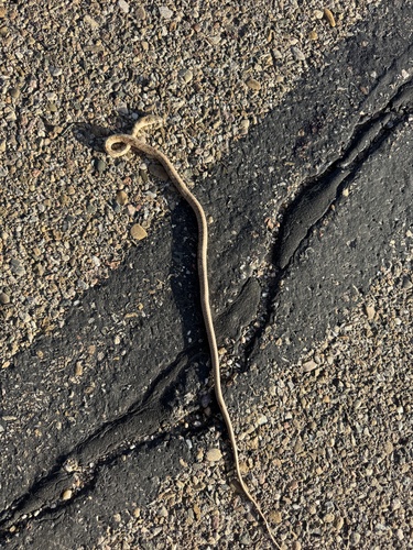
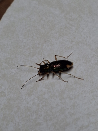
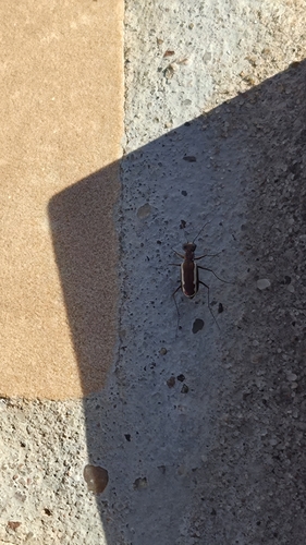
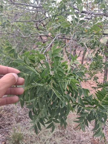
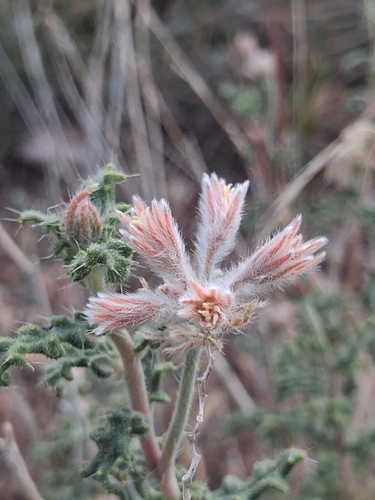
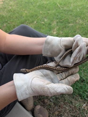
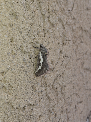
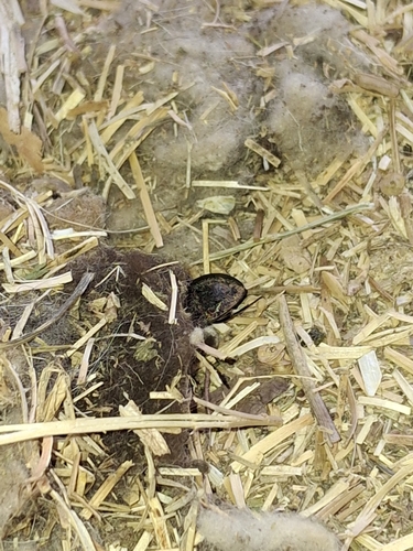
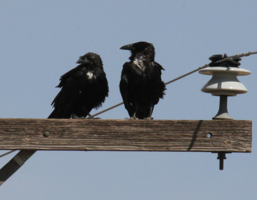
Research-grade observations from iNaturalist (within ~15 mi).
Nearest stream gauge
Events
Gallery
Sources
- • Wikipedia
- • US Census Bureau (ACS 5-year estimates)
- • NOAA National Weather Service
- • Wikidata
- • USGS Earthquake Catalog (global feed)
- • GBIF (Global Biodiversity Information Facility)
- • iNaturalist
- • Open-Meteo / sunrise-sunset.org
- • Wikipedia Pageviews API
- • Open Library
- • NASA EONET