Browse / United States / New Mexico / Mosquero
Mosquero
New Mexicovillage

Mosquero
Total population
25
Median home value
$103,100
Bachelor's+
Median income
$0
Demographic figures from US Census Bureau · ACS 5-year estimates. Overview below cites Wikipedia and may reference a different year.
City facts
Facts from Wikidata (CC0).
Overview
Mosquero is a village in Harding and San Miguel counties in the U.S. state of New Mexico. As of the 2020 census, Mosquero had a population of 98. It is the county seat of Harding County; only a small portion of the village extends into San Miguel County.
Read more on WikipediaHistory & geography
History
The site was a water stop along the Dawson Railway, built in 1902 from Tucumcari to Dawson. The name in Spanish translates as "swarm of flies", reputedly from the flies that were drawn to carcasses of bison hunted by local native tribes. The village was founded in 1908 by Benjamin Brown, and a post office was established here in that year. The community developed as a farming and stock-raising and shipping point, with a dry ice plant, using carbon dioxide from local wells drilled into the Bravo Dome carbon dioxide gas field, which lies beneath Harding and Union counties. The railroad, absorbed into the Southern Pacific, was removed in 1950 and the population dwindled after the dry ice plant was destroyed.
Geography
New Mexico State Road 39 passes through the village, leading southeast to Logan and northwest to Roy. According to the United States Census Bureau, the village has a total area of , all land.
Excerpted from the corresponding Wikipedia article (CC BY-SA).
Demographics & economy
Race & ethnicity
Source: US Census Bureau — American Community Survey, 5-year estimates.
Geography
Coordinates & boundaries from the US Census TIGER/Line shapefiles.
Climate
Current forecast
Forecast for Mosquero, NM from NOAA NWS API.
Air quality
Industrial & pollution facilities
Natural hazard risk
Health (adults)
Age-adjusted prevalence estimates from CDC PLACES (latest release).
Walkability
Amenities nearby
Wildlife & biodiversity
Most-observed species
- Western KingbirdTyrannus verticalis Say, 1823 · Aves53
- Western MeadowlarkSturnella neglecta Audubon, 1844 · Aves48
- Lark SparrowChondestes grammacus (Say, 1822) · Aves43
- Cassin's KingbirdTyrannus vociferans Swainson, 1826 · Aves36
- Mourning DoveZenaida macroura (Linnaeus, 1758) · Aves35
- Common RavenCorvus corax Linnaeus, 1758 · Aves34
- Horned LarkEremophila alpestris (Linnaeus, 1758) · Aves34
- Northern MockingbirdMimus polyglottos (Linnaeus, 1758) · Aves29
Citizen-science & research observations from the Global Biodiversity Information Facility (GBIF).
Schools
Largest nearby schools
- MOSQUERO HIGHHigh · MOSQUERO · 48 students · 9.6:1 ratio
- MOSQUERO ELEMENTARYElementary · MOSQUERO · 40 students · 13.3:1 ratio
Public K–12 schools within ~10 mi from Urban Institute Education Data Portal (NCES Common Core of Data, 2022).
Earthquake history
Most recent
- M 2.6 — 2024-10-2229 km SW of Tucumcari, New Mexico
- M 2.6 — 2024-09-0834 km NNW of Nara Visa, New Mexico
- M 3.4 — 2022-03-318 km S of Clayton, New Mexico
- M 3.8 — 2022-03-1713 km SSW of Clayton, New Mexico
- M 2.7 — 2021-12-0613 km ESE of Watrous, New Mexico
- M 2.7 — 2020-06-295 km SSW of Newkirk, New Mexico
Events from the USGS Earthquake Catalog (global) (FDSN Event Web Service).
Photos
Sights & places nearby
Notable people from here
Nearby places in New Mexico
Geography & sun
Elevation, sunrise/sunset and daylight from Open-Meteo. Solar climatology from NASA POWER.
Nearby airports
Public attention
Pageview totals from the Wikimedia Pageviews API.
Books about Mosquero
Search results from Open Library.
Recent natural events nearby
- Wildfire Fowl, Harding, New MexicoWildfires · 2026-09-02 · 17 mi
- Wildfire 4V, San Miguel, New MexicoWildfires · 2026-08-29 · 25 mi
- Wildfire LAUGHLIN, Colfax, New MexicoWildfires · 2026-08-25 · 59 mi
- Wildfire Brown, Oldham, TexasWildfires · 2026-08-09 · 61 mi
- Wildfire Rayado Mesa, Colfax, New MexicoWildfires · 2026-07-27 · 63 mi
- Wildfire Rabbit Ear East, Union, New MexicoWildfires · 2026-08-24 · 68 mi
- Wildfire Post, Las Animas, ColoradoWildfires · 2026-08-11 · 94 mi
- Wildfire Sheep Pen, Las Animas, ColoradoWildfires · 2026-08-12 · 97 mi
Wildfires, storms and other events from NASA EONET (last 12 months, within 250 mi).
Ground air-quality sensors
Recently spotted species
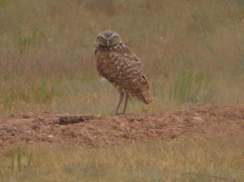
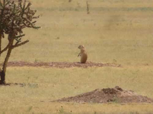
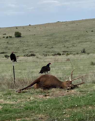
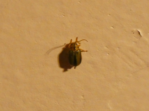
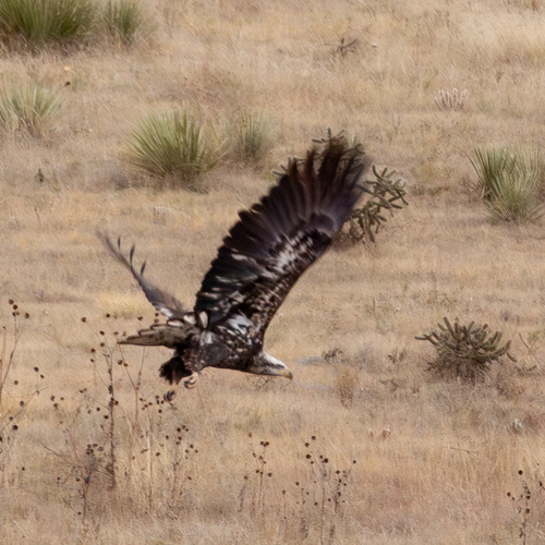
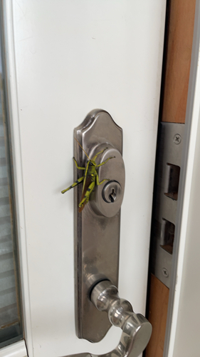
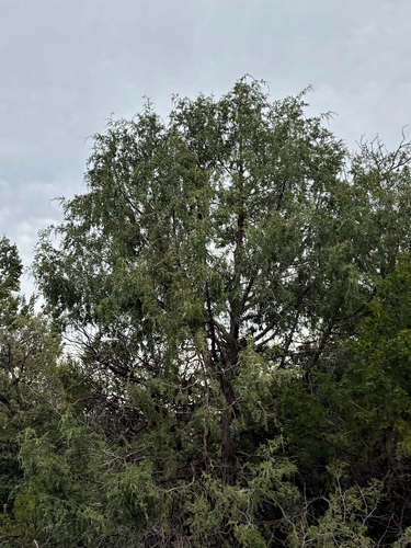
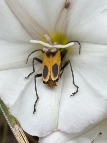
Research-grade observations from iNaturalist (within ~15 mi).
Nearest stream gauge
Live readings from USGS NWIS · measured 2026-09-18 12:15 UTC.
Events
Gallery
Sources
- • Wikipedia
- • US Census Bureau (ACS 5-year estimates)
- • NOAA National Weather Service
- • Wikidata
- • USGS Earthquake Catalog (global feed)
- • USGS NWIS (water data)
- • NCES via Urban Institute Education Data Portal
- • GBIF (Global Biodiversity Information Facility)
- • iNaturalist
- • CDC PLACES
- • Open-Meteo / sunrise-sunset.org
- • Wikipedia Pageviews API
- • Open Library
- • NASA EONET