Browse / United States / New Mexico / Orogrande
Orogrande
New MexicoCDP
Total population
9
Median home value
$0
Bachelor's+
Median income
$0
Demographic figures from US Census Bureau · ACS 5-year estimates. Overview below cites Wikipedia and may reference a different year.
City facts
Facts from Wikidata (CC0).
Overview
Orogrande is an unincorporated community in Otero County, New Mexico, United States, located in the Jarilla Mountains of the Tularosa Basin on U.S. 54 between El Paso, Texas and Alamogordo. As of the 2020 census, Orogrande had a population of 35.
Read more on WikipediaHistory & geography
History
Originally a mining town named Jarilla Junction due to its proximity to the Jarilla Mountains, established in 1905, the town was renamed Orogrande (Spanish for big gold) in 1906 and is not far from similar mining towns (now completely abandoned ghost towns) named Brice and Ohaysi. The population soared to approximately 2000 as the result of a gold rush that occurred in 1905, but quickly collapsed almost to the point of depopulation when the gold deposits proved much less abundant than expected. There are still numerous abandoned mines in the area which fall under the jurisdiction of the Bureau of Land Management. Other land around Orogrande is part of a military reservation under the control of Fort Bliss. The town holds the record high temperature in New Mexico, at .
Excerpted from the corresponding Wikipedia article (CC BY-SA).
Demographics & economy
Race & ethnicity
Source: US Census Bureau — American Community Survey, 5-year estimates.
Geography
Coordinates & boundaries from the US Census TIGER/Line shapefiles.
Climate
Current forecast
Forecast for Orogrande, NM from NOAA NWS API.
Air quality
Industrial & pollution facilities
Natural hazard risk
Health (adults)
Walkability
Amenities nearby
Wildlife & biodiversity
Most-observed species
- Larrea tridentata (DC.) Coult.Larrea tridentata (DC.) Coult. · Magnoliopsida178
- eagle-claw cactusEchinocactus horizonthalonius Lem. · Magnoliopsida40
- California hedgehogEchinocereus coccineus (Engelm.) Engelm. · Magnoliopsida36
- strawberry hedgehog cactusEchinocereus stramineus Engelm. ex Rümpler · Magnoliopsida36
- honey mesquiteProsopis glandulosa Torr. · Magnoliopsida28
- palmellaYucca elata (Engelm.) Engelm. · Liliopsida22
- Texas rainbow cactusEchinocereus dasyacanthus Engelm. · Magnoliopsida17
- hoary euphorbiaEuphorbia lata Engelm. · Magnoliopsida16
Citizen-science & research observations from the Global Biodiversity Information Facility (GBIF).
Schools
Earthquake history
Most recent
- M 3 — 2022-10-252 km NNE of La Luz, New Mexico
- M 2.8 — 2020-10-096 km NE of Mesquite, New Mexico
- M 2.9 — 2012-04-0510 km NE of Fabens, Texas
- M 2.5 — 2012-03-069 km E of Fort Bliss, Texas
- M 3.5 — 2004-11-1426 km NW of Tularosa, New Mexico
Events from the USGS Earthquake Catalog (global) (FDSN Event Web Service).
Photos
Sights & places nearby
Notable people from here
Nearby places in New Mexico
Geography & sun
Nearby airports
Public attention
Books about this place
Recent natural events nearby
- Wildfire CATO 2, Chaves, New MexicoWildfires · 2026-08-15 · 147 mi
- Wildfire WHISKEY, Torrance, New MexicoWildfires · 2026-08-21 · 159 mi
- Wildfire Paddy Creek, Apache, ArizonaWildfires · 2026-08-25 · 222 mi
- Wildfire 4V, San Miguel, New MexicoWildfires · 2026-08-29 · 241 mi
- Wildfire Frijoles, Santa Fe, New MexicoWildfires · 2026-08-05 · 244 mi
- Wildfire Butte, Gila, ArizonaWildfires · 2026-08-03 · 248 mi
Wildfires, storms and other events from NASA EONET (last 12 months, within 250 mi).
Ground air-quality sensors
Recently spotted species
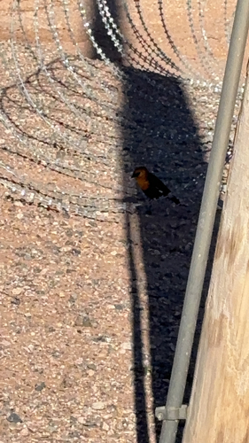
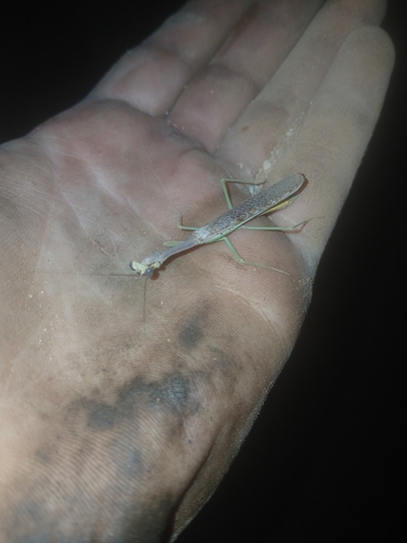
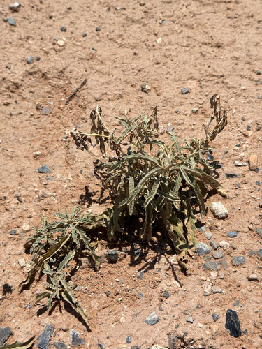
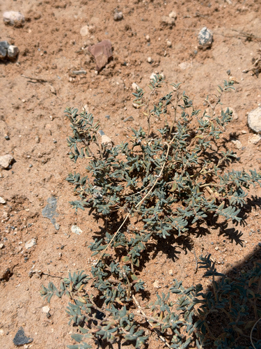
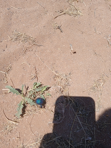
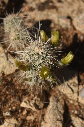
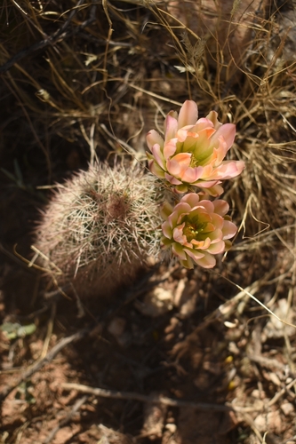
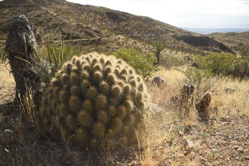
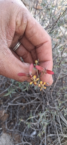
Research-grade observations from iNaturalist (within ~15 mi).
Nearest stream gauge
Events
Gallery
Sources
- • Wikipedia
- • US Census Bureau (ACS 5-year estimates)
- • NOAA National Weather Service
- • Wikidata
- • USGS Earthquake Catalog (global feed)
- • GBIF (Global Biodiversity Information Facility)
- • iNaturalist
- • NASA EONET