Browse / United States / New Mexico / Santa Cruz
Santa Cruz
New MexicoCDP

Santa Cruz
Total population
228
Founded
1695
Demographic figures from US Census Bureau · ACS 5-year estimates. Overview below cites Wikipedia and may reference a different year.
City facts
Facts from Wikidata (CC0).
Overview
Santa Cruz, historically known as Santa Cruz de la Cañada, is a census-designated place (CDP) in Santa Fe County, New Mexico, United States. It is part of the Santa Fe, New Mexico Metropolitan Statistical Area. As of the 2020 census, Santa Cruz had a population of 416.
Read more on WikipediaHistory & geography
History
The area that was later to be occupied by the village of Santa Cruz de la Cañada is located 25 miles northwest of Santa Fe, New Mexico, and a half-mile east of Española, New Mexico, at 5,655 feet AMSL, and UTM NAD 83, Z-13S, 404927E, 3983643N in the valley of the Santa Cruz River half-mile from its confluence with the Rio Grande. Upon arrival of Spanish conquistadores in 1540, the Santa Cruz area was inhabited by Tewa speakers (descendants of "Ancestral Puebloans," formerly referred to as "Anasazi"), and after Vargas' "reconquests" (of the Pueblo Revolt) of 1692 and 1696, by southern Tewa (or Tano) who had been relocated from the Galisteo Basin, 45 miles south, as a result of Vargas' Spanish repopulation efforts on behalf of the Spanish Crown. Among the best reference materials for this history is: "The Pueblo Indian Revolt of 1696 and the Franciscan Missions in New Mexico" by J. Manuel Espinosa (1991). The nearby, and unsuccessful, Spanish colony at San Gabriel established by the explorer Juan de Oñate at Ohkay Owingeh in 1598 produced Spanish haciendas and ranchos in the vicinity. During the Pueblo Revolt of 1680, Hispanic settlers were forced to leave the area. In 1695, following the Reconquest of 1692-1694 and the second Pueblo Revolt in 1696, Governor and Captain General of New Mexico, Don Diego de Vargas reestablished the Hispanic settlement. It was established as a new Spanish villa for those that had arrived from Mexico City as settlers and participants in the military campaigns during the reconquest. It was named Villa Nueva de Santa Cruz de los Españoles Mejicanos del Rey Nuestro Señor Carlos Segundo (The New Town of the Holy Cross of Mexican Spaniards under the King Our Lord Charles II). It later shortened simply to Santa Cruz de la Cañada (la Cañada…
Geography
According to the United States Census Bureau, the CDP has a total area of 0.7 square mile (1.8 km), all land.
Excerpted from the corresponding Wikipedia article (CC BY-SA).
Demographics & economy
Geography
Coordinates & boundaries from the US Census TIGER/Line shapefiles.
Climate
Air quality
Industrial & pollution facilities
Natural hazard risk
Health (adults)
Age-adjusted prevalence estimates from CDC PLACES (latest release).
Walkability
Amenities nearby
Wildlife & biodiversity
Schools
Largest nearby schools
- POJOAQUE HIGHHigh · SANTA FE · 636 students · 19.9:1 ratio
- MCCURDY CHARTER SCHOOLOther · ESPANOLA · 540 students · 16.9:1 ratio
- PABLO ROYBAL ELEMENTARYElementary · SANTA FE · 428 students · 14.3:1 ratio
- POJOAQUE MIDDLEMiddle · SANTA FE · 262 students · 16.4:1 ratio
- TONY QUINTANA ELEMENTARYElementary · ESPANOLA · 210 students · 11.1:1 ratio
- POJOAQUE INTERMEDIATEElementary · SANTA FE · 187 students · 18.7:1 ratio
- SIXTH GRADE ACADEMYMiddle · POJOAQUE · 117 students · 19.5:1 ratio
Public K–12 schools within ~10 mi from Urban Institute Education Data Portal (NCES Common Core of Data, 2022).
Earthquake history
Photos
Sights & places nearby
Notable people from here


People born within ~10 km, from Wikidata (CC0). Click any name for their Wikipedia article.
Nearby places in New Mexico
- Sombrillo1 mi away
- El Valle de Arroyo Seco2.9 mi away
- Ohkay Owingeh3.6 mi away
- La Mesilla3.9 mi away
- Santa Clara Pueblo4 mi away
- Nambe7.7 mi away · pop. 2,035
- Los Luceros8.3 mi away
- Cuyamungue9 mi away
- San Ildefonso Pueblo9 mi away
- Cuyamungue Grant10.4 mi away
- Velarde12.2 mi away · pop. 229
- Tesuque Pueblo13.2 mi away
Geography & sun
Elevation, sunrise/sunset and daylight from Open-Meteo. Solar climatology from NASA POWER.
Nearby airports
Public attention
Pageview totals from the Wikimedia Pageviews API.
Books about Santa Cruz
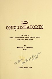

Search results from Open Library.
Recent natural events nearby
- Wildfire Frijoles, Santa Fe, New MexicoWildfires · 2026-08-05 · 12 mi
- Wildfire Rayado Mesa, Colfax, New MexicoWildfires · 2026-07-27 · 70 mi
- Wildfire WHISKEY, Torrance, New MexicoWildfires · 2026-08-21 · 94 mi
- Wildfire Rio Blanco, Archuleta, ColoradoWildfires · 2026-07-28 · 94 mi
- Wildfire LAUGHLIN, Colfax, New MexicoWildfires · 2026-08-25 · 95 mi
- Wildfire 4V, San Miguel, New MexicoWildfires · 2026-08-29 · 103 mi
- Wildfire Swiss Roll, Archuleta, ColoradoWildfires · 2026-08-20 · 105 mi
- Wildfire Post, Las Animas, ColoradoWildfires · 2026-08-11 · 117 mi
Wildfires, storms and other events from NASA EONET (last 12 months, within 250 mi).
Ground air-quality sensors
Recently spotted species
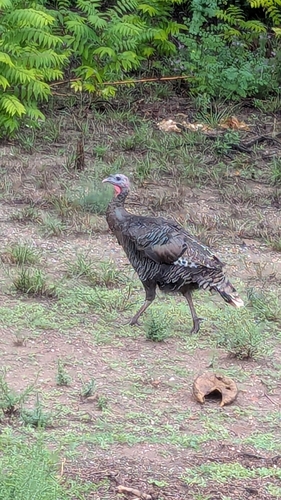
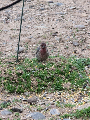
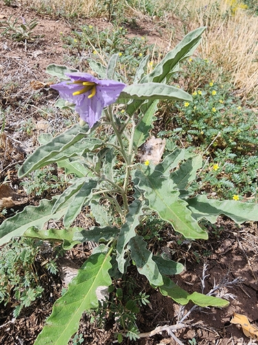
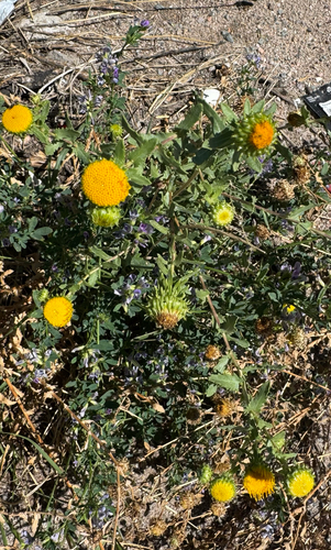
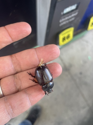
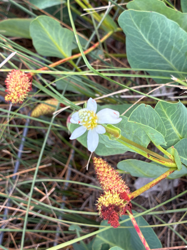
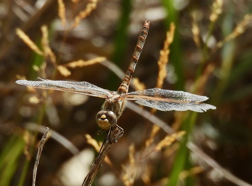
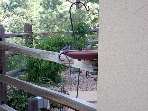
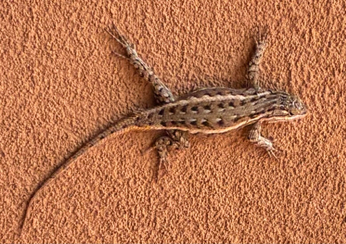
Research-grade observations from iNaturalist (within ~15 mi).
Nearest stream gauge
Live readings from USGS NWIS · measured 2026-09-26 17:00 UTC.
Events
Gallery
Sources
- • Wikipedia
- • Wikidata
- • USGS NWIS (water data)
- • NCES via Urban Institute Education Data Portal
- • iNaturalist
- • CDC PLACES
- • Open-Elevation
- • Open-Meteo / sunrise-sunset.org
- • Wikipedia Pageviews API
- • Open Library
- • NASA EONET