Browse / Norway / Vestland / Alversund
Alversund
Vestlandvillage

Alversund
Demographic figures from Statistics Norway (SSB). Overview below cites Wikipedia and may reference a different year.
City facts
Overview
Alversund is a village in Alver Municipality in Vestland county, Norway. The village is located on the mainland of the Lindås peninsula, along the shore of the Alverstraumen strait. The village sits between the villages of Alverstraumen and Alver, forming a large village area that is often referred to as Alversund.
Read more on WikipediaHistory & geography
History
The village was the administrative centre of the old Alversund Municipality which existed from 1885 until 1964. Among other things one will find Den Gamle Bokstova, a book café where a small group of people meets 6-8 times a year to discuss literature. The building dates from the 16th century and is a former bank, library, and community house. The municipality (originally the parish) is named after the old Alver farm (Old Norse: Alviðra) since the first church was built there. The meaning of the name is "all weather" (meaning "weather from all directions" - describing a farm with an exposed and unsheltered site). The last element is sund which means "sound" or "strait", referring to Alverstraumen strait.
Excerpted from the corresponding Wikipedia article (CC BY-SA).
Geography
Coordinates & boundaries from the US Census TIGER/Line shapefiles.
Climate
Air quality
Walkability
Amenities nearby
Wildlife & biodiversity
Earthquake history
Photos
Sights & places nearby
Notable people from here
Nearby places in Vestland
- Leirvik55.4 mi away · pop. 14,767
- Sidi Mediouni1748.4 mi away
- Bouzedjar1749.8 mi away · pop. 4,387
- El Kouamlia1751.6 mi away
- El Amria1752.6 mi away
- Sassel1756.4 mi away
- Ouled Taoui1757.4 mi away
- Ouled Boudjemaa1757.5 mi away · pop. 6,228
- Hassi El Ghella1757.7 mi away
- Tamzoura1758 mi away · pop. 9,944
- Ain El Beida1758.5 mi away
- Khedaïda1759.2 mi away
Geography & sun
Elevation, sunrise/sunset and daylight from Open-Meteo. Solar climatology from NASA POWER.
Nearby airports
Public attention
Pageview totals from the Wikimedia Pageviews API.
Books about this place
Recent natural events nearby
Ground air-quality sensors
Recently spotted species
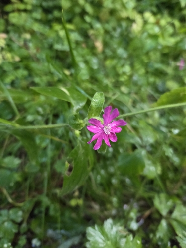
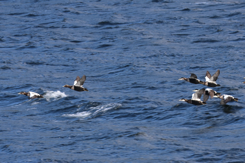


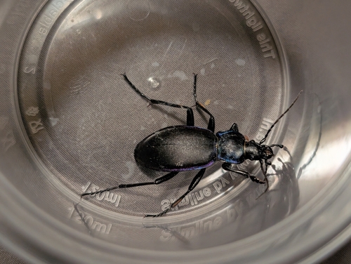

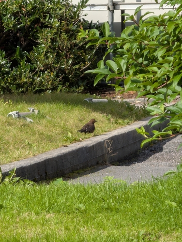
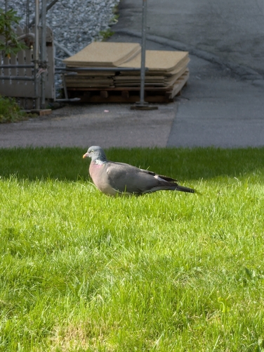

Research-grade observations from iNaturalist (within ~15 mi).
Events
Gallery
Official Identifiers
SSB — Statistics Norway
- Kommunenr
- 1257
- Wikidata
- Q16868941
Kommunenummer via Wikidata P2504
Sources
- • Wikipedia
- • iNaturalist
- • Open-Meteo / sunrise-sunset.org
- • Wikipedia Pageviews API
- • Wikidata SPARQL (CC0) — population, area, elevation, inception, head of government, Commons image
- • SSB — Statistics Norway — Kommunenummer via Wikidata P2504