Browse / Norway / Møre og Romsdal / Ålvundeidet
Ålvundeidet
Møre og Romsdalvillage
Demographic figures from Statistics Norway (SSB). Overview below cites Wikipedia and may reference a different year.
City facts
Overview
Set in Møre og Romsdal, Norway, Ålvundeidet is recorded in open geodata as a village. Ålvundeidet maps to 62.766°, 8.534° — squarely within the subarctic belt. Up-to-date population figures for this locality are not available in the open datasets we monitor. Its latitude implies a climate characterised by short summers and long, very cold winters. The remainder of this page draws on open public data to describe the area's demographics, climate, environment and nearby amenities.
Summary composed automatically from structured open data on this page. See our Terms for details.
History & geography
Geography
Coordinates & boundaries from the US Census TIGER/Line shapefiles.
Climate
Air quality
Walkability
Amenities nearby
Wildlife & biodiversity
Most-observed species
- Wych ElmUlmus glabra Huds. · Magnoliopsida469
- Great TitParus major Linnaeus, 1758 · Aves416
- Eurasian Blue TitCyanistes caeruleus (Linnaeus, 1758) · Aves368
- Eurasian BlackbirdTurdus merula Linnaeus, 1758 · Aves344
- RowanSorbus aucuparia L. · Magnoliopsida301
- Sycamore [tree]Acer pseudoplatanus L. · Magnoliopsida299
- Downy BirchBetula pubescens Ehrh. · Magnoliopsida293
- Scots PinePinus sylvestris L. · Pinopsida280
Citizen-science & research observations from the Global Biodiversity Information Facility (GBIF).
Earthquake history
Events from the USGS Earthquake Catalog (global) (FDSN Event Web Service).
Photos
Sights & places nearby
Notable people from here
Geography & sun
Nearby airports
Public attention
Books about this place
Recent natural events nearby
Ground air-quality sensors
Recently spotted species
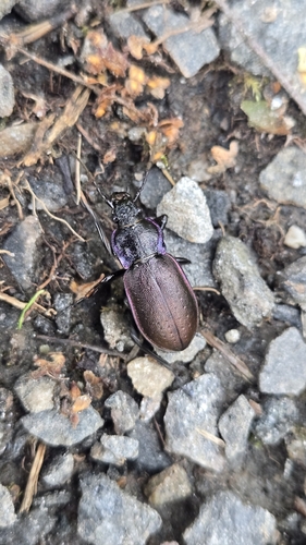
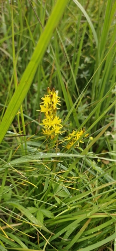
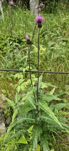
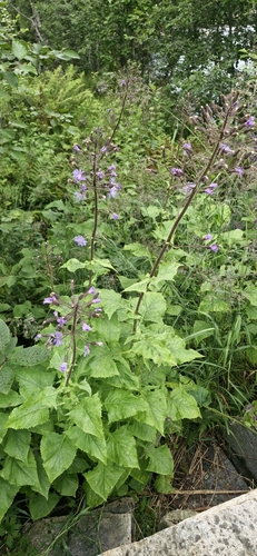

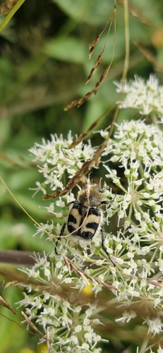
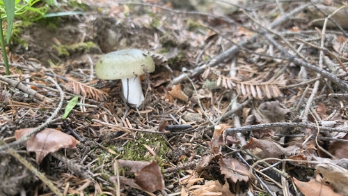
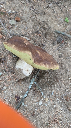
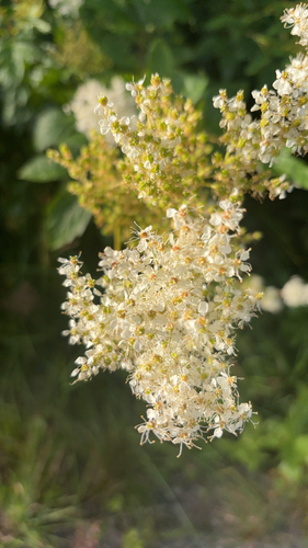
Research-grade observations from iNaturalist (within ~15 mi).
Events
Gallery
Sources
- • USGS Earthquake Catalog (global feed)
- • GBIF (Global Biodiversity Information Facility)
- • iNaturalist