Browse / Norway / Innlandet / Brandval
Brandval
Innlandetvillage
No image yet
Coordinates60.32°, 12.02°
Demographic figures from Statistics Norway (SSB). Overview below cites Wikipedia and may reference a different year.
Loading additional data from public sources…0 / 11
CensusWikipediaWeatherPlacesPeopleEnvironmentHealth & SchoolsRelatedGeography & CultureLive MonitoringEvents & Gallery
0% completeCity facts
Overview
Brandval may refer to:
History & geography
Geography
Latitude
60.3157
Longitude
12.0182
Water area
—
Coordinates & boundaries from the US Census TIGER/Line shapefiles.
Climate
Air quality
Walkability
Amenities nearby
Wildlife & biodiversity
Earthquake history
Photos
Sights & places nearby
Notable people from here

Even Pellerud
Norwegian footballer and manager

Sverre Strandli
Norwegian hammer thrower (1925–1985)

Carl Wille Schnitler
art historian

Gunnar Sethil
Norwegian politician (1872-1941)

Karl Amundsen
Norwegian politician (1873-1961)
T
Trond Nordby
Norwegian historian and political scientist
J
Johannes Kjensmo
featured in the Norwegian Who's Who 1973
S
Svenning Olsen Kongsgård
Norwegian farmer and politician
S
Snefrid Eriksmoen
Norwegian politician (1894-1954)
J
Jan Erik Gustavsen
Norwegian cyclist
T
Thorbjørn Gjølstad
featured in the Norwegian Who's Who 2008
J
Julius Foseid
Norwegian architect
V
Victoria Dalsberget
Norwegian writer
S
Sigvard Larsen
Norwegian police officer (1848-1928)
People born within ~10 km, from Wikidata (CC0). Click any name for their Wikipedia article.
Nearby places in Innlandet
- Padola947.7 mi away · pop. 933
- Dosoledo947.9 mi away · pop. 460
- San Nicolò di Comelico949.1 mi away · pop. 426
- Costalta949.3 mi away
- Giralba949.4 mi away
- Valle949.6 mi away
- Costalissoio949.8 mi away
- San Pietro di Cadore950 mi away · pop. 1,839
- Auronzo di Cadore951.2 mi away · pop. 3,028
- Arabba954.8 mi away · pop. 275
- Lorenzago di Cadore956.2 mi away · pop. 578
- Serdes958 mi away
Geography & sun
Avg solar (kWh/m²/day)
2.54
Annual solar (kWh/m²)
925
Elevation, sunrise/sunset and daylight from Open-Meteo. Solar climatology from NASA POWER.
Nearby airports
Public attention
Wikipedia views (last 30 days)
18
Avg daily Wikipedia views
1
Attention level
Obscure
Pageview totals from the Wikimedia Pageviews API.
Books about this place
Recent natural events nearby
Ground air-quality sensors
Recently spotted species
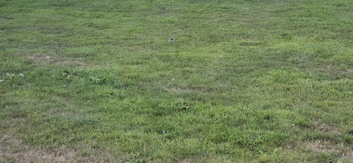
White Wagtail
Motacilla alba
Seen 2026-08-19
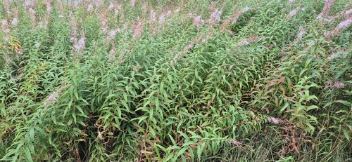
fireweed
Chamaenerion angustifolium
Seen 2026-08-19
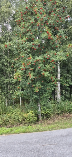
European mountain ash
Sorbus aucuparia
Seen 2026-08-19
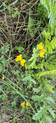
bird's-foot trefoil
Lotus corniculatus
Seen 2026-08-19
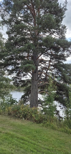
Scots pine
Pinus sylvestris
Seen 2026-08-19
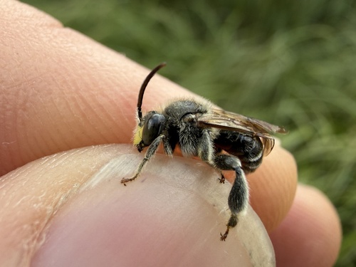
European Yellow Loosestrife Bee
Macropis europaea
Seen 2026-08-11
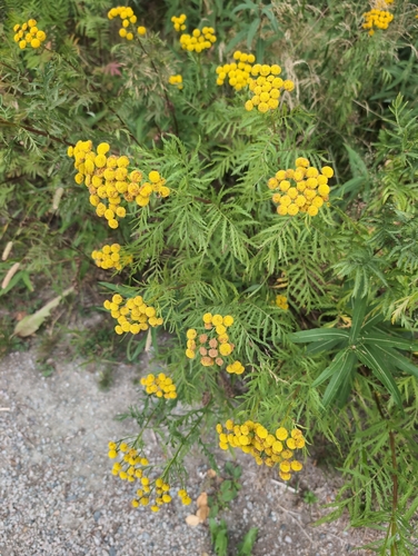
Common Tansy
Tanacetum vulgare
Seen 2026-07-26
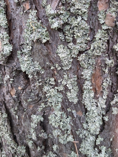
Hooded Tube Lichen
Hypogymnia physodes
Seen 2026-07-26
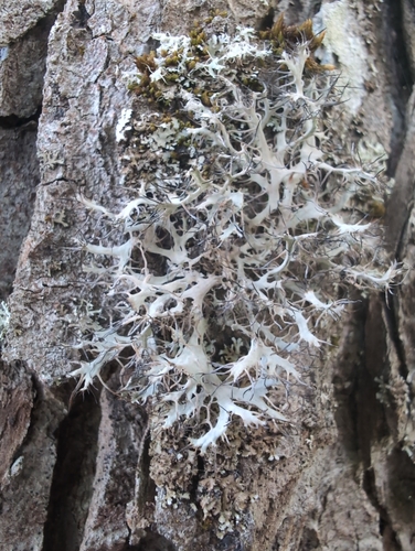
Great Ciliated Lichen
Anaptychia ciliaris
Seen 2026-07-26
Research-grade observations from iNaturalist (within ~15 mi).
Events
Gallery
Official Identifiers
SSB — Statistics Norway
- Kommunenr
- 0422
- Wikidata
- Q63117749
Kommunenummer via Wikidata P2504
Sources
- • Wikipedia
- • Wikidata
- • iNaturalist
- • Open-Meteo / sunrise-sunset.org
- • Wikipedia Pageviews API
- • Wikidata SPARQL (CC0) — population, area, elevation, inception, head of government, Commons image
- • SSB — Statistics Norway — Kommunenummer via Wikidata P2504