Browse / Norway / Troms / Fjordgård
Fjordgård
Tromsvillage

Fjordgård
Demographic figures from Statistics Norway (SSB). Overview below cites Wikipedia and may reference a different year.
City facts
Overview
Fjordgård or Fjordgard is a small fishing village in Senja Municipality in Troms county, Norway. It is located on the northern part of the island of Senja, the second largest island in Norway. Fjordgård lies on the west side of the fjord Ørnfjorden, which is an arm that branches off of the main Øyfjorden. The island village of Husøy lies about 4 kilometres (2.5 mi) across the fjord within sight of Fjordgård.
Read more on WikipediaHistory & geography
Geography
Coordinates & boundaries from the US Census TIGER/Line shapefiles.
Climate
Air quality
Walkability
Amenities nearby
Wildlife & biodiversity
Most-observed species
- Eurasian OystercatcherHaematopus ostralegus Linnaeus, 1758 · Aves324
- Mew GullLarus canus Linnaeus, 1758 · Aves300
- Common EiderSomateria mollissima (Linnaeus, 1758) · Aves285
- Hooded CrowCorvus cornix Linnaeus, 1758 · Aves279
- Great Black-backed GullLarus marinus Linnaeus, 1758 · Aves258
- White-tailed EagleHaliaeetus albicilla (Linnaeus, 1758) · Aves246
- Black GuillemotCepphus grylle (Linnaeus, 1758) · Aves239
- Herring GullLarus argentatus Pontoppidan, 1763 · Aves238
Citizen-science & research observations from the Global Biodiversity Information Facility (GBIF).
Earthquake history
Most recent
- M 2.9 — 2008-04-2532 km W of Tromsø, Norway
- M 2.7 — 2008-04-2430 km W of Tromsø, Norway
- M 2.6 — 2007-08-167 km W of Tromsø, Norway
- M 2.6 — 2004-03-1417 km ENE of Myre, Norway
Events from the USGS Earthquake Catalog (global) (FDSN Event Web Service).
Photos
Sights & places nearby
Notable people from here
Nearby places in Troms
- Husøy2.6 mi away · pop. 292
- Senjahopen3.6 mi away · pop. 249
- Mefjordvær4.6 mi away
- Botnhamn6.6 mi away
- Skaland9.1 mi away
- Gibostad15.3 mi away · pop. 316
- Kårvikhamn15.6 mi away
- Gryllefjorden17.2 mi away · pop. 311
- Torsken17.3 mi away · pop. 208
- Sifjorden19.4 mi away
- Rossfjordstraumen19.5 mi away
- Silsand19.9 mi away · pop. 1,654
Geography & sun
Elevation, sunrise/sunset and daylight from Open-Meteo. Solar climatology from NASA POWER.
Nearby airports
Public attention
Pageview totals from the Wikimedia Pageviews API.
Books about this place
Recent natural events nearby
Ground air-quality sensors
Recently spotted species
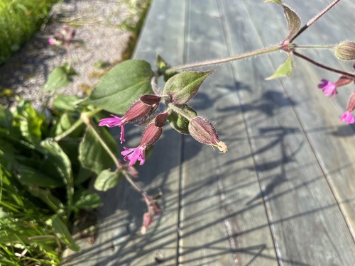
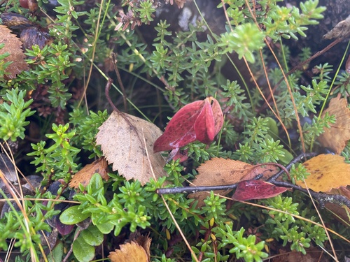
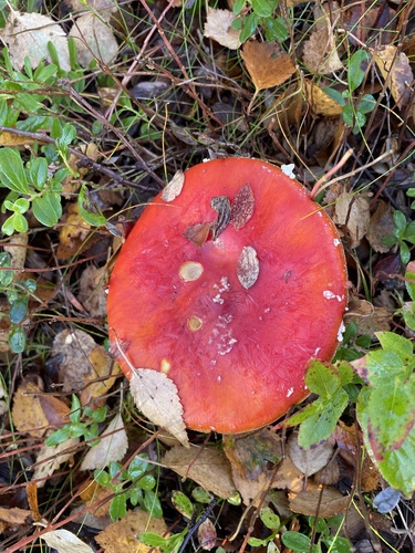
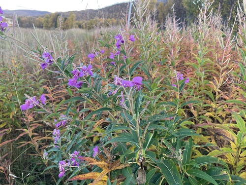
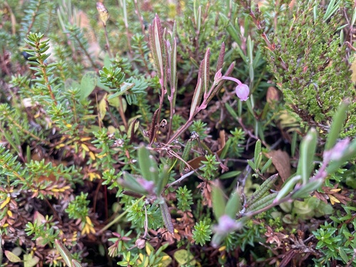
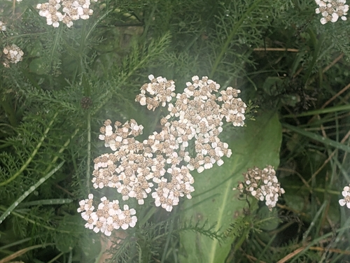
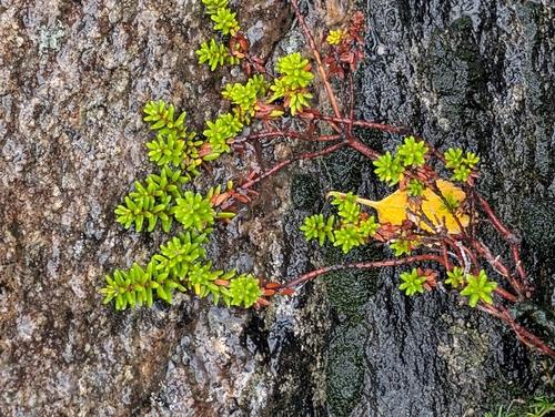
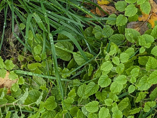
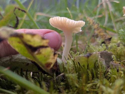
Research-grade observations from iNaturalist (within ~15 mi).
Events
Gallery
Sources
- • Wikipedia
- • Wikidata
- • USGS Earthquake Catalog (global feed)
- • GBIF (Global Biodiversity Information Facility)
- • iNaturalist
- • Open-Meteo / sunrise-sunset.org
- • Wikipedia Pageviews API
- • Wikidata SPARQL (CC0) — population, area, elevation, inception, head of government, Commons image