Browse / Norway / Vestland / Flåm
Flåm
Vestlandvillage

Flåm
Total population
293
Demographic figures from Statistics Norway (SSB). Overview below cites Wikipedia and may reference a different year.
City facts
Facts from Wikidata (CC0).
Overview
Flåm is a village in the Flåmsdalen valley which is located at the inner end of the Aurlandsfjorden, a branch of Sognefjorden. The village is located in Aurland Municipality in Vestland county, Norway.
Read more on WikipediaHistory & geography
History
In 1670, Flåm Church was built in the village, replacing an older stave church. In 1908, the Norwegian Parliament approved the construction of the Flåm Line railway, though the funds to construct the railway were not allocated until 1923. In 1942, regular operation of steam-powered trains started on the Flåm Line. The original Fretheim Hotel, established in the late 1800s, expanded to welcome more international guests, offering a comfortable stay amid the wild nature. The Norway in a Nutshell tour – a popular packaged day-trip including the Flåm Railway and fjord ferry – started bringing many visitors to Flåm starting in the 1980s and onward. In 2000, Flåm built a new pier that allowed large cruise ships to dock directly which led to a great increase in tourism.
Excerpted from the corresponding Wikipedia article (CC BY-SA).
Geography
Coordinates & boundaries from the US Census TIGER/Line shapefiles.
Climate
Air quality
Walkability
Amenities nearby
Wildlife & biodiversity
Earthquake history
Photos
Sights & places nearby
Notable people from here


People born within ~10 km, from Wikidata (CC0). Click any name for their Wikipedia article.
Nearby places in Vestland
- Leirvik92.9 mi away · pop. 14,767
- Sidi Mediouni1783.1 mi away
- El Kouamlia1786.1 mi away
- El Amria1787.2 mi away
- Sassel1791.2 mi away
- Tamzoura1791.8 mi away · pop. 9,944
- Ouled Taoui1792.2 mi away
- Hassi El Ghella1792.3 mi away
- Ouled Boudjemaa1792.4 mi away · pop. 6,228
- Ain El Beida1792.9 mi away
- Khedaïda1793.1 mi away
- Douar El Msaada1794.4 mi away
Geography & sun
Elevation, sunrise/sunset and daylight from Open-Meteo. Solar climatology from NASA POWER.
Nearby airports
Public attention
Pageview totals from the Wikimedia Pageviews API.
Books about this place
Recent natural events nearby
Ground air-quality sensors
Recently spotted species
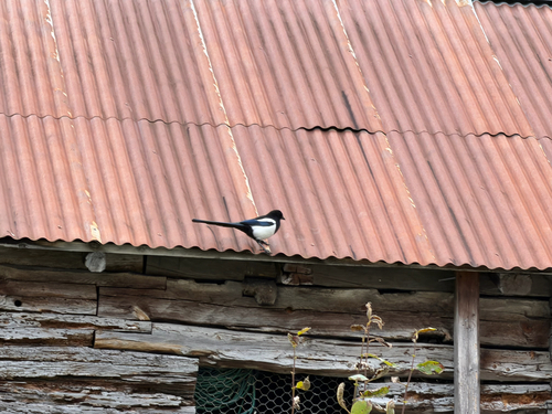
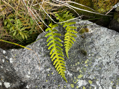
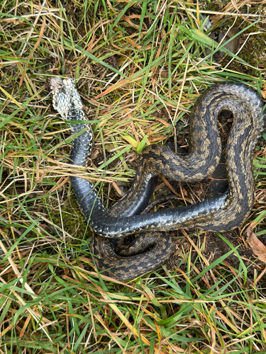
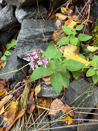
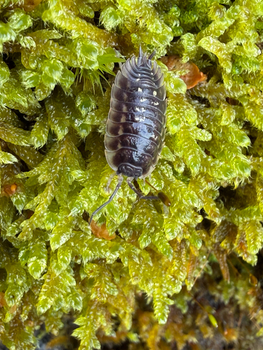
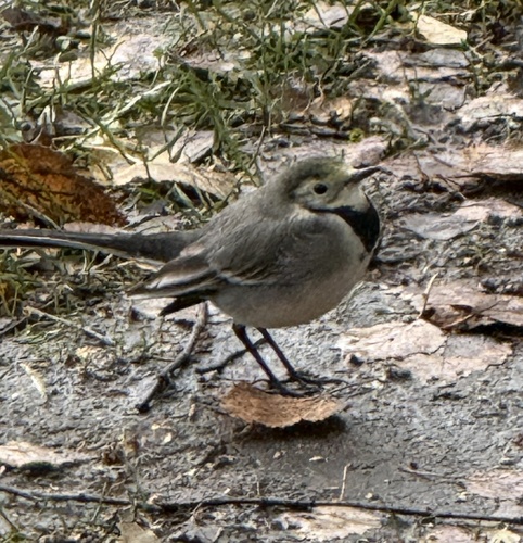
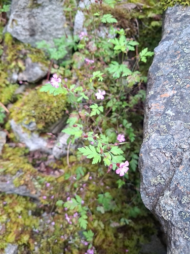

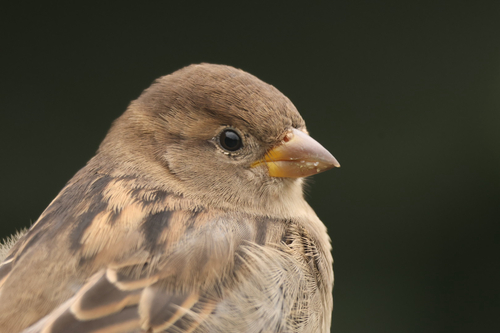
Research-grade observations from iNaturalist (within ~15 mi).
Events
Gallery
Sources
- • Wikipedia
- • Wikidata
- • iNaturalist
- • Open-Meteo / sunrise-sunset.org
- • Wikipedia Pageviews API
- • Wikidata SPARQL (CC0) — population, area, elevation, inception, head of government, Commons image