Browse / Norway / Innlandet / Hamar
Hamar
Innlandetcity

Hamar
Total population
30,535
Demographic figures from Statistics Norway (SSB). Overview below cites Wikipedia and may reference a different year.
City facts
Facts from Wikidata (CC0).
Overview
Hamar is a town in Hamar Municipality in Innlandet county, Norway. Hamar is the administrative centre of Hamar Municipality. It is located in the traditional region of Hedmarken. The town is located on the shores of Mjøsa, Norway's largest lake. Historically, it was the principal city of the former Hedmark county, now part of the larger Innlandet county.
Read more on WikipediaHistory & geography
History
Between 500 and 1000 AD, the Åker farm was one of the most important power centres in Norway, located just a few kilometres away from today's town of Hamar. Three coins found in Ringerike in 1895 have been dated to the time of Harald Hardråde and are inscribed . At some point, presumably after 1030 but clearly before 1152, the centre was moved from Åker to the peninsula near Rosenlundvika (today Domkirkeodden) in what is now the town of Hamar. There are some indications that Harald Hardråde initiated this move because he had property at the new site. Much of the information about medieval Hamar is derived from the Hamar Chronicle, dated to about 1550. The town is said to have reached its apex in the early 14th century, dominated by the Hamar Cathedral, the bishop's manor, and a fortress, plus the surrounding urbanization. The town was known for its fragrant apple orchards, but there were also merchants, craftsmen, and fishermen in the town. After the Christianization of Norway in 1030, Hamar began to gain influence as a centre for trade and religion. In 1152, the episcopal representative Nikolaus Breakspear founded Hamar Kaupangen as one of five dioceses in medieval Norway. This diocese included all of Hedemarkens Amt and Christians Amt, which were both separated from the Diocese of Oslo in 1152. The first bishop of Hamar was Arnold, Bishop of Gardar, Greenland (1124–1152). He began to build the (now ruined) Cathedral of Christ Church, which was completed about the time of Bishop Paul (1232–1252). Bishop Thorfinn (1278–1282) was exiled and died at Ter Doest abbey in Flanders, and was later canonised. Bishop Jörund (1285–1286) was transferred to Trondheim. A provincial council was held in 1380. Hamar remained an important religious and political centre in Norway,…
Excerpted from the corresponding Wikipedia article (CC BY-SA).
Geography
Coordinates & boundaries from the US Census TIGER/Line shapefiles.
Climate
Air quality
Walkability
Amenities nearby
Wildlife & biodiversity
Most-observed species
- MallardAnas platyrhynchos Linnaeus, 1758 · Aves5,329
- Great TitParus major Linnaeus, 1758 · Aves4,126
- Common GoldeneyeBucephala clangula (Linnaeus, 1758) · Aves3,966
- Eurasian Blue TitCyanistes caeruleus (Linnaeus, 1758) · Aves3,805
- YellowhammerEmberiza citrinella Linnaeus, 1758 · Aves3,682
- Eurasian BullfinchPyrrhula pyrrhula (Linnaeus, 1758) · Aves3,243
- Mew GullLarus canus Linnaeus, 1758 · Aves3,047
- Great Spotted WoodpeckerDendrocopos major (Linnaeus, 1758) · Aves3,029
Citizen-science & research observations from the Global Biodiversity Information Facility (GBIF).
Earthquake history
Most recent
- M 3.9 — 2026-04-261 km SSE of Sørumsand, Norway
- M 2.9 — 2008-05-254 km WSW of Åneby, Norway
- M 3.4 — 2004-04-0711 km N of Sand, Norway
Events from the USGS Earthquake Catalog (global) (FDSN Event Web Service).
Photos
Sights & places nearby
Notable people from here


People born within ~10 km, from Wikidata (CC0). Click any name for their Wikipedia article.
Nearby places in Innlandet
- Padola982.3 mi away · pop. 933
- Dosoledo982.5 mi away · pop. 460
- San Nicolò di Comelico983.7 mi away · pop. 426
- Giralba983.8 mi away
- Valle984.3 mi away
- Costalissoio984.5 mi away
- San Pietro di Cadore984.7 mi away · pop. 1,839
- Auronzo di Cadore985.7 mi away · pop. 3,028
- Arabba988.4 mi away · pop. 275
- Lorenzago di Cadore990.7 mi away · pop. 578
- Serdes992.1 mi away
- Caviola997.4 mi away
Geography & sun
Elevation, sunrise/sunset and daylight from Open-Meteo. Solar climatology from NASA POWER.
Nearby airports
Public attention
Pageview totals from the Wikimedia Pageviews API.
Books about this place
Recent natural events nearby
Ground air-quality sensors
Recently spotted species
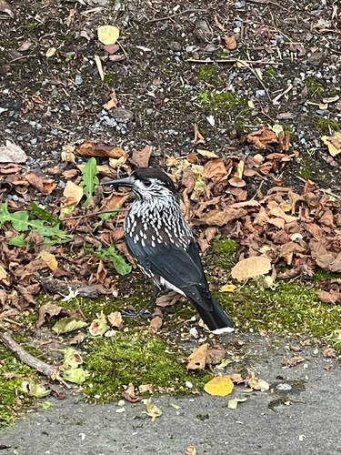
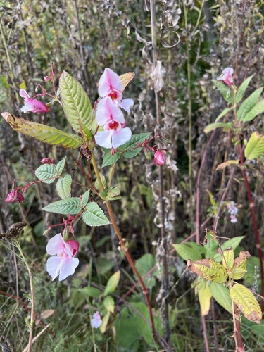
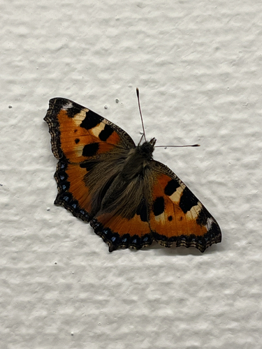
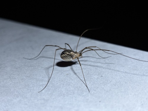
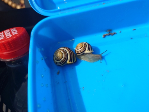
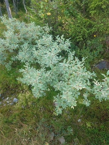
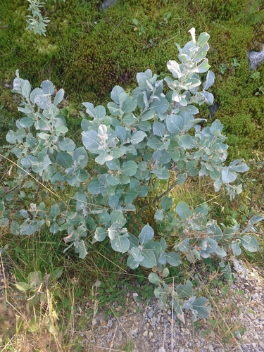
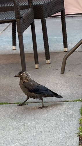
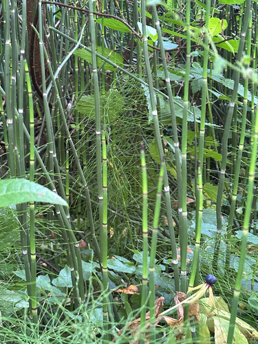
Research-grade observations from iNaturalist (within ~15 mi).
Events
Notable, recurring, and historical events associated with Hamar, sourced from Wikidata.
- Q11973824festival
Source: Wikidata (CC0).
Gallery
Official Identifiers
SSB — Statistics Norway
- Kommunenr
- 3403
- Population (Wikidata)
- 33,817
- Wikidata
- Q104400
Kommunenummer via Wikidata P2504
Sources
- • Wikipedia
- • Wikidata
- • USGS Earthquake Catalog (global feed)
- • GBIF (Global Biodiversity Information Facility)
- • iNaturalist
- • Open-Meteo / sunrise-sunset.org
- • Wikipedia Pageviews API
- • Wikidata SPARQL (CC0) — population, area, elevation, inception, head of government, Commons image
- • SSB — Statistics Norway — Kommunenummer via Wikidata P2504