Browse / Norway / Akershus / Jessheim
Jessheim
Akershustown

Jessheim
Total population
25,469
Demographic figures from Statistics Norway (SSB). Overview below cites Wikipedia and may reference a different year.
City facts
Facts from Wikidata (CC0).
Overview
Jessheim is a town in the Ullensaker municipality in Akershus of Norway.
Read more on WikipediaHistory & geography
History
The railway station with the Jessheim station was built in 1854 as part of the Hovedbanen line from Oslo to Eidsvoll. The railroad had at the initial construction of the railroad in 1854 called the stop "Trøgstad", but because of confusion with the town name Trøgstad in Østfold, the name was changed in 1897 to "Jessum". This name was used blasphemically, for example by military recruits who said they had passed through Bøn (town north of Jessheim) which sounds like "prayer" in Norwegian to Jessum, which could sound like Jesus. The priests in the area complained to the bishop who in 1900 brought the case up with the local council and suggested the form "Jessheim". The name was changed to "Jesseim". In 1920 the railroad changed the spelling to the current form, Jessheim.
Excerpted from the corresponding Wikipedia article (CC BY-SA).
Geography
Coordinates & boundaries from the US Census TIGER/Line shapefiles.
Climate
Air quality
Walkability
Amenities nearby
Wildlife & biodiversity
Earthquake history
Photos
Sights & places nearby
Notable people from here


People born within ~10 km, from Wikidata (CC0). Click any name for their Wikipedia article.
Nearby places in Akershus
- Sørumsand11 mi away · pop. 6,075
- Varåa14.4 mi away
- Slemmestad34.2 mi away
- Gjellum34.9 mi away
- Dolní Jamné706.4 mi away · pop. 69
- Mladotice707 mi away · pop. 443
- Liblín712.6 mi away · pop. 301
- Drahoňův Újezd716.3 mi away · pop. 144
- Sklená Huť719.6 mi away · pop. 11
- Čečkovice722 mi away · pop. 77
- Pilsen723.3 mi away · pop. 185,599
- Rokycany724.7 mi away · pop. 14,074
Geography & sun
Elevation, sunrise/sunset and daylight from Open-Meteo. Solar climatology from NASA POWER.
Nearby airports
Public attention
Pageview totals from the Wikimedia Pageviews API.
Books about this place
Recent natural events nearby
Ground air-quality sensors
Recently spotted species


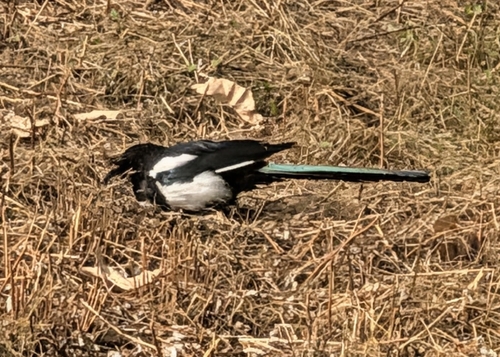

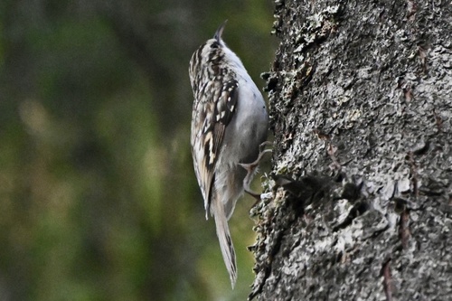
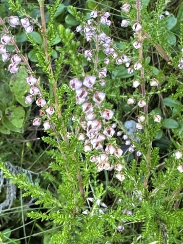
Research-grade observations from iNaturalist (within ~15 mi).
Events
Gallery
Sources
- • Wikipedia
- • Wikidata
- • iNaturalist
- • Open-Meteo / sunrise-sunset.org
- • Wikipedia Pageviews API
- • Wikidata SPARQL (CC0) — population, area, elevation, inception, head of government, Commons image