Browse / Norway / Vestland / Kjølsdalen
Kjølsdalen
Vestlandvillage

Kjølsdalen
Demographic figures from Statistics Norway (SSB). Overview below cites Wikipedia and may reference a different year.
City facts
Facts from Wikidata (CC0).
Overview
Kjølsdalen is a village in Stad Municipality in Vestland county, Norway. The village is located on the northern shore of the Nordfjorden, about 8 kilometres (5.0 mi) west of the village of Stårheim and about 12 kilometres (7.5 mi) east of the village of Bryggja. The village of Davik lies about 5 kilometres (3.1 mi) across the fjord from Kjølsdalen. The village is named after the Kjølsdalen valley in which it is located. Kjølsdalen Church is located in the village.
Read more on WikipediaHistory & geography
History
Historically, Kjølsdalen was administratively part of the old Davik Municipality until 1964 when it became part of Eid Municipality. In 2020, Eid Municipality became part of the new Stad Municipality.
Excerpted from the corresponding Wikipedia article (CC BY-SA).
Geography
Coordinates & boundaries from the US Census TIGER/Line shapefiles.
Climate
Air quality
Walkability
Amenities nearby
Wildlife & biodiversity
Earthquake history
Photos
Sights & places nearby
Notable people from here


People born within ~10 km, from Wikidata (CC0). Click any name for their Wikipedia article.
Nearby places in Vestland
- Leirvik147.6 mi away · pop. 14,767
- Sidi Mediouni1842.1 mi away
- El Kouamlia1845.2 mi away
- El Amria1846.3 mi away
- Sassel1850 mi away
- Ouled Taoui1851.1 mi away
- Ouled Boudjemaa1851.2 mi away · pop. 6,228
- Hassi El Ghella1851.4 mi away
- Tamzoura1851.8 mi away · pop. 9,944
- Ain El Beida1852.2 mi away
- Khedaïda1852.9 mi away
- Douar El Msaada1853.3 mi away
Geography & sun
Nearby airports
Public attention
Books about this place
Recent natural events nearby
Ground air-quality sensors
Recently spotted species

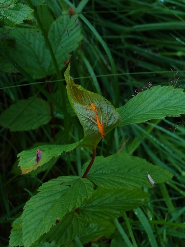

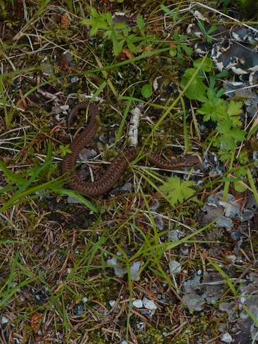
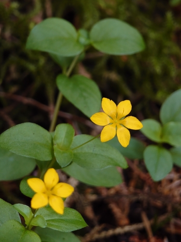


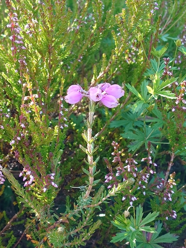

Research-grade observations from iNaturalist (within ~15 mi).
Events
Gallery
Sources
- • Wikipedia
- • Wikidata
- • iNaturalist
- • Wikidata SPARQL (CC0) — population, area, elevation, inception, head of government, Commons image