Browse / Norway / Innlandet / Kongsvinger
Kongsvinger
Innlandettown

Kongsvinger
Total population
12,466
Demographic figures from Statistics Norway (SSB). Overview below cites Wikipedia and may reference a different year.
City facts
Facts from Wikidata (CC0).
Overview
Kongsvinger is a town located within Kongsvinger Municipality in Innlandet county, Norway. The town is the administrative centre of the municipality. It is located along the river Glomma, about 80 kilometres (50 mi) northeast of the city of Oslo and about 90 kilometres (56 mi) south of the town of Elverum. The town is about 30 kilometres (19 mi) from the border with Sweden.
Read more on WikipediaHistory & geography
History
Kongsvinger already existed as a trading center by the Middle Ages, due to the accessibility by natural waterways. Viking chieftains reached Sweden by boat from Kongsvinger. Kongsvinger Fortress was founded in 1669, and a star-shaped plan was laid out for the fortress. Work began in 1682 and it was finished in 1690 as part of a general upgrade to Norwegian fortresses. The building of the fortress formed the foundations for what was to become the town of Kongsvinger. The fortress was built as a defensive structure against the Swedes, and on numerous occasions there have been military engagements in the area around the fortress, but Kongsvinger fortress has never been taken in military combat. Below Kongsvinger fortress lies Øvrebyen, which literally translated means "upper town". This is the oldest part of the town of Kongsvinger, and one can still find a number of the original houses built after the establishment of the fortress. Kongsvinger Museum is located here, together with a museum of female emancipation in a building called "Rolighed", the home of Dagny Juel, the famous author once portrayed by Edvard Munch. (Øvrebyen was designated as an area of special historical interest in 1973.) The Øvrebyen area around the fortress is dominated by wooden buildings from the 18th and 19th centuries, laid out in the typical right angle square plan that was designed by the architect Johan Caspar von Cicignon which was very popular in this period. In 1854, the King designated the market town of Kongsvinger as a kjøpstad, which gave it special rights. Because of this designation, on 7 February 1855, the town was separated from Vinger Municipality to form a separate Kongsvinger Municipality. Initially, the town had 472 residents and this left Vinger Municipality with 10,947…
Excerpted from the corresponding Wikipedia article (CC BY-SA).
Geography
Coordinates & boundaries from the US Census TIGER/Line shapefiles.
Climate
Air quality
Walkability
Amenities nearby
Wildlife & biodiversity
Earthquake history
Photos
Sights & places nearby
Notable people from here
Nearby places in Innlandet
- Padola939.1 mi away · pop. 933
- Dosoledo939.3 mi away · pop. 460
- San Nicolò di Comelico940.5 mi away · pop. 426
- Costalta940.7 mi away
- Giralba940.8 mi away
- Valle941 mi away
- Costalissoio941.2 mi away
- San Pietro di Cadore941.4 mi away · pop. 1,839
- Auronzo di Cadore942.6 mi away · pop. 3,028
- Arabba946.2 mi away · pop. 275
- Lorenzago di Cadore947.6 mi away · pop. 578
- Serdes949.4 mi away
Geography & sun
Elevation, sunrise/sunset and daylight from Open-Meteo. Solar climatology from NASA POWER.
Nearby airports
Public attention
Pageview totals from the Wikimedia Pageviews API.
Books about this place
Recent natural events nearby
Ground air-quality sensors
Recently spotted species
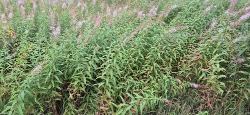
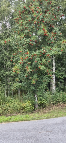
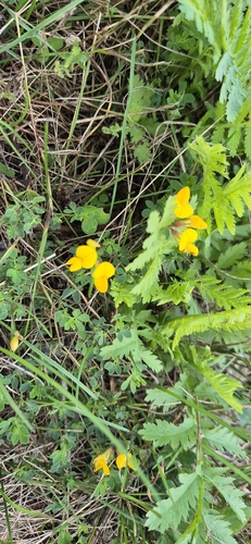
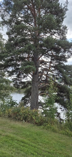

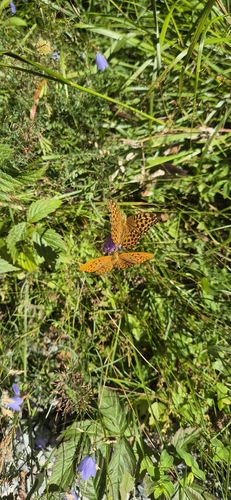

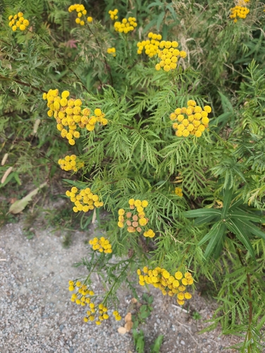
Research-grade observations from iNaturalist (within ~15 mi).
Events
Gallery
Official Identifiers
SSB — Statistics Norway
- Kommunenr
- 3401
- Population (Wikidata)
- 18,191
- Wikidata
- Q109499
Kommunenummer via Wikidata P2504
Sources
- • Wikipedia
- • Wikidata
- • iNaturalist
- • Open-Meteo / sunrise-sunset.org
- • Wikipedia Pageviews API
- • Wikidata SPARQL (CC0) — population, area, elevation, inception, head of government, Commons image
- • SSB — Statistics Norway — Kommunenummer via Wikidata P2504