Browse / Norway / Buskerud / Krøderen
Krøderen
Buskerudvillage
Total population
565
Demographic figures from Statistics Norway (SSB). Overview below cites Wikipedia and may reference a different year.
City facts
Overview
Krøderen is a small village located in Buskerud, Norway. Geographically it lies in the northern hemisphere at a subarctic latitude (60.125°, 9.784°). Public datasets list a population of roughly 565. Local weather statistics describe average highs near 49.7°F and lows near 35°F, alongside about 37.4 in of annual precipitation (a moderate total). The location receives about 916 kWh/m² of solar irradiance per year and sunshine for roughly 36% of daylight hours. The latitude suggests short summers and long, very cold winters. Further detail — demographics, climate, nearby amenities and natural-hazard data — is compiled below from public open-data sources.
Summary composed automatically from structured open data on this page. See our Terms for details.
History & geography
Geography
Coordinates & boundaries from the US Census TIGER/Line shapefiles.
Climate
10-year averages from ERA5 reanalysis (Open-Meteo).
Air quality
Walkability
Amenities nearby
Wildlife & biodiversity
Most-observed species
- Great TitParus major Linnaeus, 1758 · Aves868
- Eurasian Blue TitCyanistes caeruleus (Linnaeus, 1758) · Aves724
- Eurasian MagpiePica pica (Linnaeus, 1758) · Aves660
- Eurasian BullfinchPyrrhula pyrrhula (Linnaeus, 1758) · Aves654
- Great Spotted WoodpeckerDendrocopos major (Linnaeus, 1758) · Aves567
- YellowhammerEmberiza citrinella Linnaeus, 1758 · Aves559
- Rhodofomes roseus (Alb. & Schwein.) Kotl. & PouzarRhodofomes roseus (Alb. & Schwein.) Kotl. & Pouzar · Agaricomycetes557
- Witch's HairAlectoria sarmentosa (Ach.) Ach. · Lecanoromycetes518
Citizen-science & research observations from the Global Biodiversity Information Facility (GBIF).
Earthquake history
Most recent
- M 3.9 — 2026-04-261 km SSE of Sørumsand, Norway
- M 2.9 — 2008-05-254 km WSW of Åneby, Norway
- M 2.6 — 2005-01-297 km NNE of Hvittingfoss, Norway
- M 2.6 — 2004-12-2910 km WNW of Flateby, Norway
Events from the USGS Earthquake Catalog (global) (FDSN Event Web Service).
Photos
Sights & places nearby
Notable people from here
Nearby places in Buskerud
- Noresund6.7 mi away · pop. 374
- Prestfoss7.6 mi away · pop. 519
- Norefjell9.9 mi away
- Sysle10.4 mi away · pop. 234
- Tyristrand11.1 mi away · pop. 1,238
- Vikersund13.2 mi away · pop. 3,244
- Geithus14.8 mi away
- Åmot16.8 mi away · pop. 7,126
- Eggedal16.9 mi away
- Lyngdal17.2 mi away
- Vik17.4 mi away
- Sundvollen18.5 mi away · pop. 1,248
Geography & sun
Elevation, sunrise/sunset and daylight from Open-Meteo. Solar climatology from NASA POWER.
Nearby airports
Public attention
Books about this place
Recent natural events nearby
Ground air-quality sensors
Recently spotted species


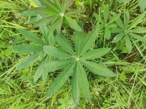
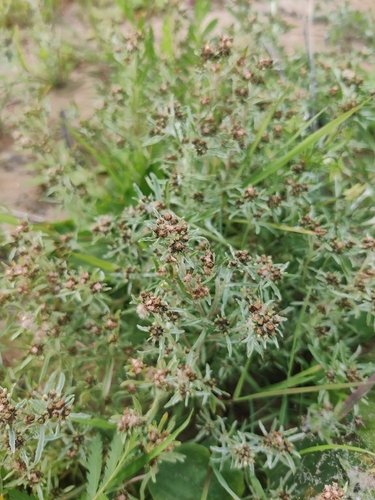
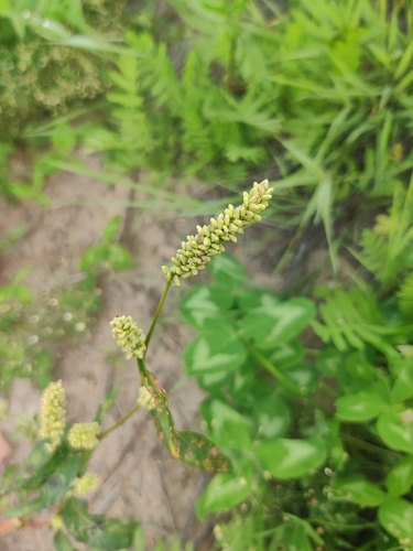
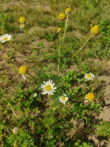

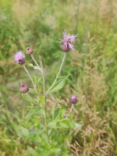
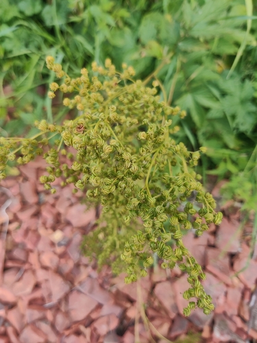
Research-grade observations from iNaturalist (within ~15 mi).
Events
Gallery
Geotagged photos within ~6 miles of Krøderen, from Wikimedia Commons contributors.


Photos via Wikimedia Commons — see each image page for license & attribution.
Sources
- • Open-Meteo (ERA5 reanalysis)
- • Wikimedia Commons
- • Wikidata
- • USGS Earthquake Catalog (global feed)
- • GBIF (Global Biodiversity Information Facility)
- • iNaturalist
- • Open-Meteo / sunrise-sunset.org