Browse / Norway / Møre og Romsdal / Kristiansund
Kristiansund
Møre og Romsdaltown

Kristiansund
Total population
18,479
Founded
1742
Demographic figures from Statistics Norway (SSB). Overview below cites Wikipedia and may reference a different year.
City facts
Facts from Wikidata (CC0).
Overview
Kristiansund is a town in Kristiansund Municipality in Møre og Romsdal county, Norway. The town is the administrative centre of the municipality. The town is located on the islands of Kirklandet, Innlandet, and Nordlandet in the Nordmøre region of the county.
Read more on WikipediaHistory & geography
History
Many scientists believe that the very first Norwegians lived near the area of the present-day town of Kristiansund. At the end of the last Ice age some areas at the western coast of Norway were ice-free. There was also a lot of food in the sea around Kristiansund at that time, and it is believed that the first settlement arrived in Kristiansund around year 8000 BC. During the Viking ages there were many important battles around Kristiansund. The most famous one was the Battle of Rastarkalv on the island of Frei, where the Norwegian King Håkon the Good fought against the Eirikssønnene group. There is now a memorial monument located near Rastakalv (at Nedre Frei), where the battle was fought. The nearby island of Grip was an important fishing community during the Middle Ages, and was considered to be the most important area in the region at the time. The natural harbour in Lille-Fosen, close to where Kristiansund is located today, was also frequently used for fishing purposes. During the 17th century a small settlement developed around the area we know today as Kristiansund harbour. As more and more settlers arrived, the area became an important trading port for fishing and the lumber transportation along the coast. The Dano-Norwegian government established a customs station here, which was controlled by the main trading port in Trondheim. In 1631, the port of Christianssund was declared to be a ladested. Dutch sailors brought the knowledge of clipfish production to Kristiansund at the end of the 17th century, and for a number of years the town was the largest exporter of clipfish in Norway, exporting goods mainly to the Mediterranean countries as Spain and Portugal. The city's clipfish production was also part of the reason why it was given town status as a kjøpstad…
Excerpted from the corresponding Wikipedia article (CC BY-SA).
Geography
Coordinates & boundaries from the US Census TIGER/Line shapefiles.
Climate
Air quality
Walkability
Amenities nearby
Wildlife & biodiversity
Earthquake history
Photos
Sights & places nearby
Notable people from here


People born within ~10 km, from Wikidata (CC0). Click any name for their Wikipedia article.
Nearby places in Møre og Romsdal
Geography & sun
Elevation, sunrise/sunset and daylight from Open-Meteo. Solar climatology from NASA POWER.
Nearby airports
Public attention
Pageview totals from the Wikimedia Pageviews API.
Books about this place
Recent natural events nearby
Ground air-quality sensors
Recently spotted species
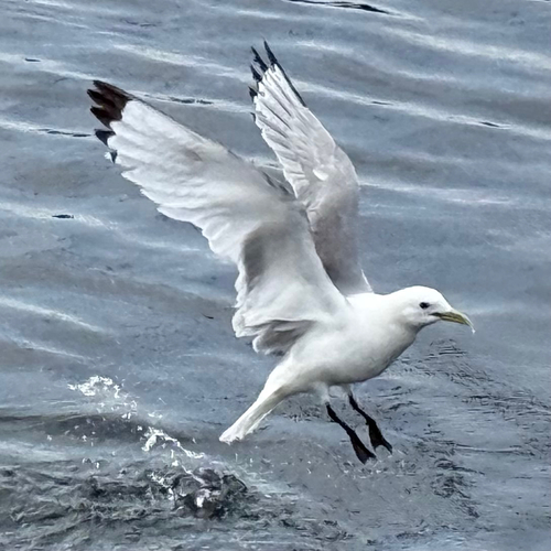
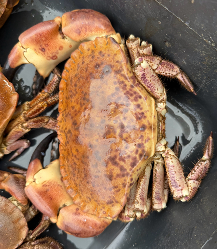
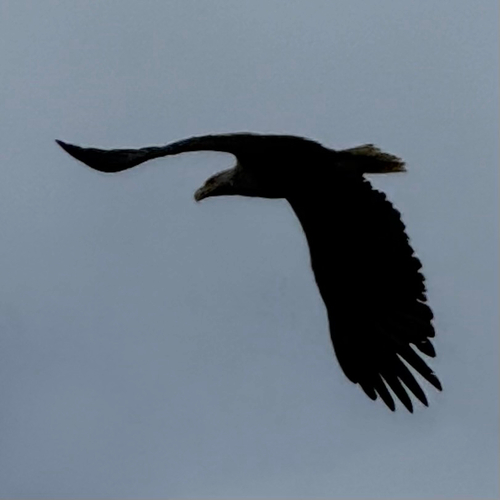
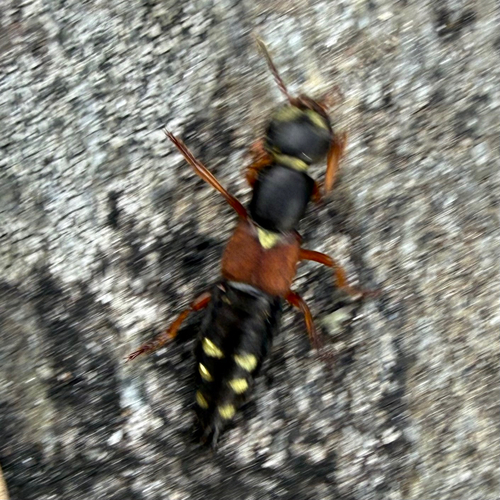
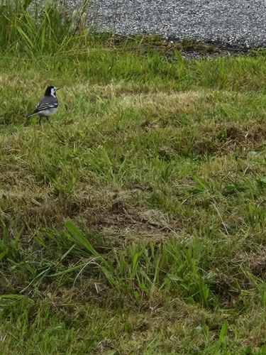
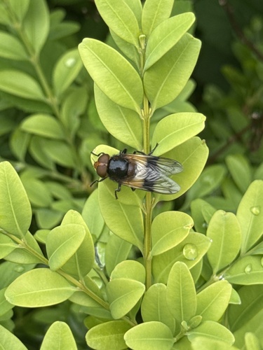
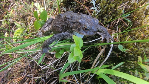
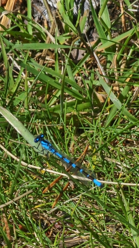
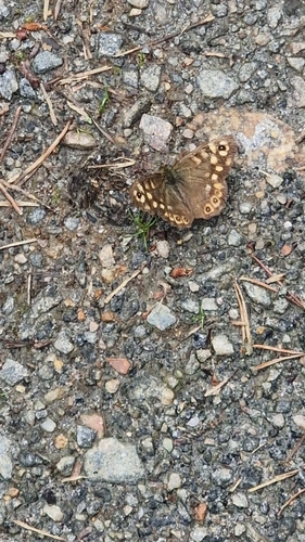
Research-grade observations from iNaturalist (within ~15 mi).
Events
Gallery
Official Identifiers
SSB — Statistics Norway
- Kommunenr
- 1505
- Population (Wikidata)
- 24,479
- Wikidata
- Q109483
Kommunenummer via Wikidata P2504
Sources
- • Wikipedia
- • Wikidata
- • iNaturalist
- • Open-Meteo / sunrise-sunset.org
- • Wikipedia Pageviews API
- • Wikidata SPARQL (CC0) — population, area, elevation, inception, head of government, Commons image
- • SSB — Statistics Norway — Kommunenummer via Wikidata P2504