Browse / Norway / Vestfold / Larvik
Larvik
Vestfoldtown

Larvik
Total population
27,661
Founded
1671
Demographic figures from Statistics Norway (SSB). Overview below cites Wikipedia and may reference a different year.
City facts
Sister cities
Facts from Wikidata (CC0).
Overview
Larvik is a municipality in Vestfold county, Norway. It is located in the traditional district of Vestfold. The administrative centre of the municipality is the city of Larvik. Other main population centres in the municipality include the town of Stavern and the villages of Gjone, Helgeroa, Hem, Kjose, Kvelde, Nevlunghavn, Skinmo, Svarstad, Ula, Verningen, and Tjøllingvollen.
Read more on WikipediaHistory & geography
History
Various remains from the Stone Age have been discovered throughout the municipality of Larvik, for instance by Torpevannet near the village of Helgeroa. Raet goes through all of Vestfold County before peaking out of the ocean in Mølen in Larvik. Ancient peoples have carried rocks from Raet and constructed vast numbers of burial mounds at Mølen. During the Roman Iron Age, ancient peoples erected a stone monument resembling a ship at Istrehågan, one of Norway's greatest remains () from prehistoric times. About southeast of the town is Skiringssal, an archaeological site where archaeologists first discovered burial mounds and an ancient Viking hall, and later uncovered the nearby remains of an ancient town, Kaupang. This is now known as the oldest known merchant town in Norway. There was international trade from this area, over 1,200 years ago. and it was one of Scandinavia's earliest urban sites. Larvik (which historically used the Danish spelling: Laurvig) was an old coastal village. In 1671, the village received kjøpstad (market town) status in 1671 when Ulrik Fredrik Gyldenløve bought the Fritsø estate. He later became the first Count of Laurvig. The count built a new residence in 1674, "Herregården", which can still be visited today. Then in 1821, it became part of the newly created Jarslberg og Laurvigs amt (county). Larvik is also the site of the Treschow estate, "Fritzøehus", which is currently owned by the heirs of Mille-Marie Treschow, reportedly "Norway's richest woman". The Treschow estate was created in 1835 when Willum Frederik Treschow bought the county from the Danish crown, who in turn had bought the county from the local consortium "grevlingene", four local entrepreneurs who proved unable to manage the ownership financially (the consortium had bought…
Geography
The municipality is located approximately southwest of the Norwegian capital, Oslo. The municipality covers an area of , making it the largest municipality in Vestfold county. By population, however, Larvik is the third-most populous municipality, only smaller than neighbouring Tønsberg and Sandefjord municipalities. Larvik borders Kongsberg Municipality in the north (in Buskerud county), Sandefjord Municipality in the east, and Porsgrunn Municipality and Siljan Municipality (both in Telemark county) in the west. The southernmost point in the municipality is Tvistein Lighthouse in the sea south of Hummerbakken in Brunlanes. On the mainland, its southernmost point is found in Oddane, between Mølen and Nevlunghavn. The westernmost point is Geiterøya Island in the Langesundsfjord, and the easternmost point is one of the Rauer islets. The highest point is the tall mountain Vindfjell which lies on the western border with Siljan Municipality in Telemark county. * Larvik (city), population: 26,851 * Stavern (city), population: 5,902 * Tveteneåsen, population: 850 * Hem, population: 676 * Helgeroa and Nevlunghavn, population: 1,962 * Kvelde, population: 1,103 * Verningen, population: 1,003 * Svarstad, population: 611 Himberg is an exclave which is part of Sandefjord Municipality, although it is completely surrounded by Larvik Municipality in all directions. Attempts at annexing Himberg into Larvik Municipality have largely been met with protests from Himberg residents. A 1995 attempt at annexing Himberg was cancelled due to protests from local residents. There are only four such enclaves in Norway, and Himberg is the most populous enclave in Norway, with a population of approximately 40 people. Himberg is . Larvik has a warm-summer humid continental climate (Köppen: Dfb)…
Excerpted from the corresponding Wikipedia article (CC BY-SA).
Geography
Coordinates & boundaries from the US Census TIGER/Line shapefiles.
Climate
Air quality
Walkability
Amenities nearby
Wildlife & biodiversity
Most-observed species
- Eurasian BlackbirdTurdus merula Linnaeus, 1758 · Aves8,328
- Common EiderSomateria mollissima (Linnaeus, 1758) · Aves8,089
- Great TitParus major Linnaeus, 1758 · Aves7,493
- Eurasian Blue TitCyanistes caeruleus (Linnaeus, 1758) · Aves7,227
- MallardAnas platyrhynchos Linnaeus, 1758 · Aves7,178
- Hooded CrowCorvus cornix Linnaeus, 1758 · Aves6,880
- Herring GullLarus argentatus Pontoppidan, 1763 · Aves6,872
- Graylag GooseAnser anser (Linnaeus, 1758) · Aves6,771
Citizen-science & research observations from the Global Biodiversity Information Facility (GBIF).
Earthquake history
Most recent
- M 2.6 — 2005-01-297 km NNE of Hvittingfoss, Norway
Events from the USGS Earthquake Catalog (global) (FDSN Event Web Service).
Photos
Sights & places nearby
Notable people from here


People born within ~10 km, from Wikidata (CC0). Click any name for their Wikipedia article.
Nearby places in Vestfold
- Valby2.4 mi away
- Tjøllingvollen3.5 mi away
- Verningen3.8 mi away · pop. 1,353
- Stavern3.8 mi away · pop. 6,076
- Løve4.4 mi away · pop. 1,824
- Ula5.9 mi away · pop. 228
- Hem6.2 mi away · pop. 650
- Kjerringvik7.1 mi away
- Helgeroa7.1 mi away · pop. 2,016
- Nevlunghavn8.2 mi away
- Sandefjord8.8 mi away · pop. 48,835
- Kvelde9.8 mi away · pop. 1,086
Geography & sun
Elevation, sunrise/sunset and daylight from Open-Meteo. Solar climatology from NASA POWER.
Nearby airports
Public attention
Pageview totals from the Wikimedia Pageviews API.
Books about Larvik
Search results from Open Library.
Recent natural events nearby
Ground air-quality sensors
Recently spotted species
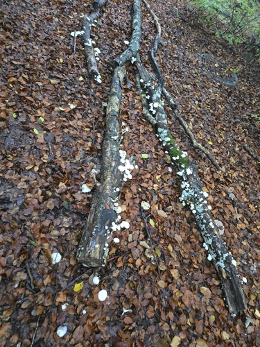
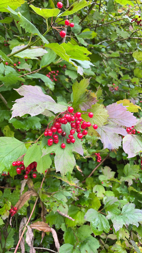
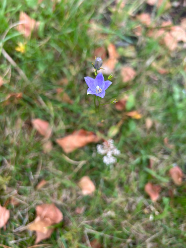
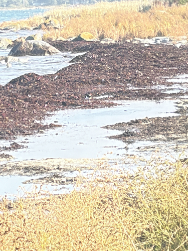
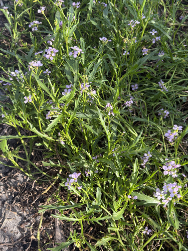
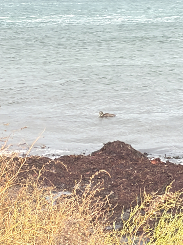
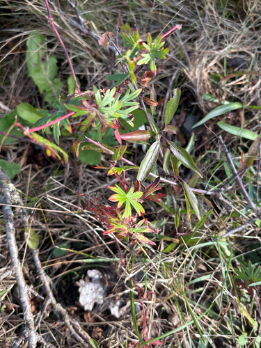
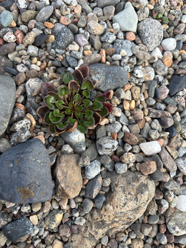
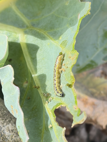
Research-grade observations from iNaturalist (within ~15 mi).
Events
Gallery
Official Identifiers
SSB — Statistics Norway
- Kommunenr
- 3909
- Population (Wikidata)
- 49,022
- Wikidata
- Q156125
Kommunenummer via Wikidata P2504
Sources
- • Wikipedia
- • Wikidata
- • USGS Earthquake Catalog (global feed)
- • GBIF (Global Biodiversity Information Facility)
- • iNaturalist
- • Open-Meteo / sunrise-sunset.org
- • Wikipedia Pageviews API
- • Open Library
- • Wikidata SPARQL (CC0) — population, area, elevation, inception, head of government, Commons image
- • SSB — Statistics Norway — Kommunenummer via Wikidata P2504