Browse / Norway / Agder / Mandal
Mandal
Agdertown

Mandal
Total population
11,471
Demographic figures from Statistics Norway (SSB). Overview below cites Wikipedia and may reference a different year.
City facts
Sister cities
Facts from Wikidata (CC0).
Overview
Mandal is a town in Lindesnes Municipality in Agder county, Norway. Mandal is the fourth largest town in Agder as well as the administrative centre of Lindesnes Municipality. It is located at the mouth of the river Mandalselva at the southern end of the Mandalen valley. The 6.85-square-kilometre (1,690-acre) town has a population (2025) of 11,471 and a population density of 1,675 inhabitants per square kilometre (4,340/sq mi). The town is also a tourist destination, especially due to its Sjøsanden beach.
Read more on WikipediaHistory & geography
History
The area in which today's town of Mandal is located was not developed during the Middle Ages. During the 1300s, a trading post called Vester-Risør grew up along the Skogsfjorden, just west of the present-day town. The town began when King Eric of Pomerania gave the town the right to trade salmon. By the 1500s, Vesterrisør was a bustling port and trading centre, making it one of the oldest in Agder. In 1632, the trading post was given ladested rights, which included special trading privileges. During the mid-1600s, the name of the town was changed to Mandal. In 1921, Mandal was designated as a kjøpstad, giving it full town status under the law. During the 1960s, there were many municipal mergers across Norway due to the work of the Schei Committee. On 1 January 1964, the town of Mandal (population: 5,446) was merged with the neighboring Halse og Harkmark Municipality (population: 3,676) and most of Holum Municipality (population: 1,127) to form a much larger Mandal Municipality. In 2020, Mandal Municipality was merged into Lindesnes Municipality. The town is named after the Mandalen river valley () in which it is located. The first element is the genitive case of the river name which is now called Mandalselva. The meaning of this old river name is uncertain, but it may be derived from the word which means "sea". The last element is which means "valley" or "dale". Prior to 1653, the town of Mandal was named Vesterrisør (). The name was originally referring to the island Risøya outside the town, and the first element was added in the 16th century to distinguish it from the town of Østerrisør (meaning "eastern Risør"), which is now simply called Risør.
Excerpted from the corresponding Wikipedia article (CC BY-SA).
Geography
Coordinates & boundaries from the US Census TIGER/Line shapefiles.
Climate
Air quality
Walkability
Amenities nearby
Wildlife & biodiversity
Most-observed species
- Mute SwanCygnus olor (J.F.Gmelin, 1789) · Aves4,295
- Herring GullLarus argentatus Pontoppidan, 1763 · Aves4,276
- Great Black-backed GullLarus marinus Linnaeus, 1758 · Aves4,202
- MallardAnas platyrhynchos Linnaeus, 1758 · Aves4,136
- Great TitParus major Linnaeus, 1758 · Aves3,720
- Eurasian BlackbirdTurdus merula Linnaeus, 1758 · Aves3,526
- Eurasian Blue TitCyanistes caeruleus (Linnaeus, 1758) · Aves3,423
- Hooded CrowCorvus cornix Linnaeus, 1758 · Aves3,298
Citizen-science & research observations from the Global Biodiversity Information Facility (GBIF).
Earthquake history
Most recent
- M 2.6 — 2008-01-24North Sea
- M 4.4 — 2007-01-2828 km S of Vestbygd, Norway
- M 3.1 — 2005-10-2861 km SSW of Mandal, Norway
- M 2.9 — 2004-09-2867 km SSW of Mandal, Norway
Events from the USGS Earthquake Catalog (global) (FDSN Event Web Service).
Photos
Sights & places nearby
Notable people from here


People born within ~10 km, from Wikidata (CC0). Click any name for their Wikipedia article.
Nearby places in Agder
- Marnardal13.1 mi away
- Bžany574.9 mi away · pop. 167
- Mrzlice578.6 mi away · pop. 52
- Paillote1492.6 mi away
- Haouch Gaby1495.8 mi away
- Haouch Ben Said1496.3 mi away
- Douar Nessasseha دوار نساسحة1497.1 mi away
- Cherchell1499.3 mi away · pop. 48,056
- Sidi Rached1499.9 mi away · pop. 11,062
- Beni Othmane1500.9 mi away
- Sidi Ghiles1501.4 mi away · pop. 15,281
- Haouch Ben Kouider1502.1 mi away
Geography & sun
Elevation, sunrise/sunset and daylight from Open-Meteo. Solar climatology from NASA POWER.
Nearby airports
Public attention
Pageview totals from the Wikimedia Pageviews API.
Books about Mandal
Search results from Open Library.
Recent natural events nearby
Ground air-quality sensors
Recently spotted species
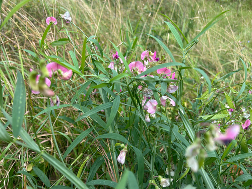
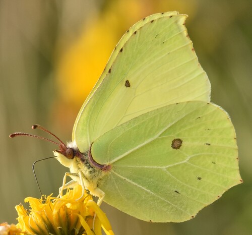
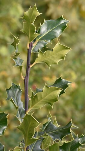
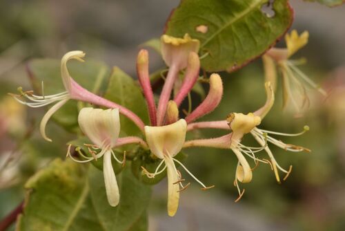
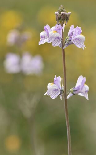
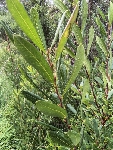
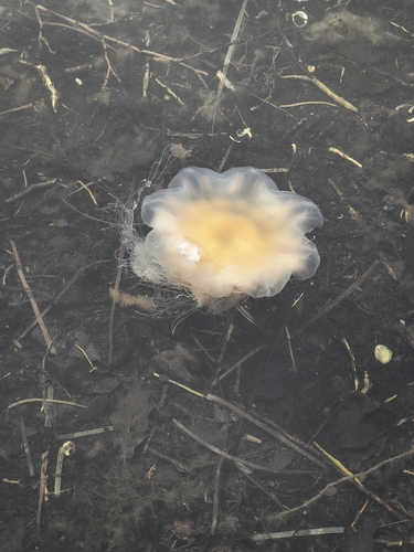
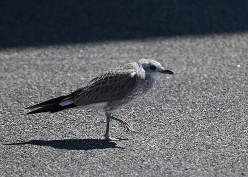
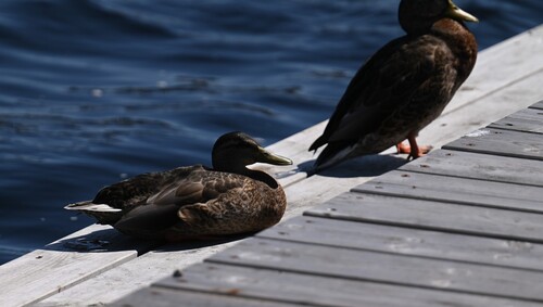
Research-grade observations from iNaturalist (within ~15 mi).
Events
Gallery
Official Identifiers
SSB — Statistics Norway
- Kommunenr
- 1002
- Population (Wikidata)
- 15,529
- Wikidata
- Q108966
Kommunenummer via Wikidata P2504
Sources
- • Wikipedia
- • Wikidata
- • USGS Earthquake Catalog (global feed)
- • GBIF (Global Biodiversity Information Facility)
- • iNaturalist
- • Open-Elevation
- • Open-Meteo / sunrise-sunset.org
- • Wikipedia Pageviews API
- • Open Library
- • Wikidata SPARQL (CC0) — population, area, elevation, inception, head of government, Commons image
- • SSB — Statistics Norway — Kommunenummer via Wikidata P2504