Browse / Norway / Nordland / Mo i Rana
Mo i Rana
Nordlandtown

Mo i Rana
Total population
18,739
Founded
1997
Demographic figures from Statistics Norway (SSB). Overview below cites Wikipedia and may reference a different year.
City facts
Sister cities
Facts from Wikidata (CC0).
Overview
Mo i Rana or Måefie (Southern Sami) is a city, and the administrative centre of Rana Municipality in Nordland county, Norway. It is located in the Helgeland region of Nordland, just south of the Arctic Circle. Some of the city's suburbs include Båsmoen and Ytteren in the north, Gruben in the south east, Selfors in the east, and Åga/Hauknes/Dalsgrenda in the south.
Read more on WikipediaHistory & geography
History
Mining, building boats (Nordlands boats), and hunting/fishing used to be the main ways of life in Rana. Starting in the summer of 1730, there was a Sámi market in Mo. The market was held on the main church grounds until 1810. In 1860, wholesale merchant L.A. Meyer started a trade center, licensed by royal authority. Meyer traded flour, herring and tobacco, reindeer meat, skins and venison with the Swedes. The trade with Sweden increased especially during Sweden's difficult economic years from 1892 to the start of the First World War. Many paths now used as hiking trails were originally trade paths for mountain dwellers from Sweden to Mo i Rana. One example is a path that starts in the Vindelfjällens Nature Reserve at Ammarnäs and follows the Vindel River valley, then joins Vindelkroken and eventually crosses the Norwegian border to Mo i Rana. The municipality is rich on iron ores and water to produce power. This was very important for industrial development. The Dunderland Iron Ore Company (1902–1947), owned by Thomas Edison, established the first mines in Storforshei ( north of Mo i Rana). The mining company Rana Gruber was also established in 1937, and in 1946, the Norwegian Parliament approved plans for the construction of an Iron mill in Norway. A/S Norwegian Iron Work Company was established. In 1955, the first steel was produced for Norway and other countries. The construction of the iron works took nine years. During this period the village of Mo i Rana became an industrial city. People from all over Norway moved to Mo i Rana for work. The community needed homes for thousands of new residents and, the construction of houses and residential blocks started immediately. Infrastructure such as electricity and water were established for the city. In 1930, the…
Geography
Mo i Rana is located at the head of Ranfjorden, just on the southern side of the Saltfjellet mountains with the Svartisen glacier, Norway's second largest. The river Ranelva meets the Ranfjorden in Mo i Rana. Rana and Saltfjellet are famous for their numerous caves. Two of the caves are open to the public, Grønligrotta and Setergrotta. Mo i Rana is situated about south of the Arctic Circle.
Excerpted from the corresponding Wikipedia article (CC BY-SA).
Geography
Coordinates & boundaries from the US Census TIGER/Line shapefiles.
Climate
10-year averages from ERA5 reanalysis (Open-Meteo).
Air quality
Walkability
Amenities nearby
Wildlife & biodiversity
Most-observed species
- Common GoldeneyeBucephala clangula (Linnaeus, 1758) · Aves2,000
- MallardAnas platyrhynchos Linnaeus, 1758 · Aves1,749
- Great TitParus major Linnaeus, 1758 · Aves1,329
- Hooded CrowCorvus cornix Linnaeus, 1758 · Aves1,269
- Mew GullLarus canus Linnaeus, 1758 · Aves1,253
- Eurasian MagpiePica pica (Linnaeus, 1758) · Aves1,130
- Green-winged TealAnas crecca Linnaeus, 1758 · Aves1,031
- Eurasian Blue TitCyanistes caeruleus (Linnaeus, 1758) · Aves990
Citizen-science & research observations from the Global Biodiversity Information Facility (GBIF).
Earthquake history
Most recent
- M 4.5 — 2026-08-1929 km WNW of Ørnes, Norway
- M 4.6 — 2023-11-0818 km SSW of Glomfjord, Norway
- M 2.5 — 2008-10-20northern Norway
- M 2.8 — 2007-12-0914 km SW of Sandnessjøen, Norway
- M 2.5 — 2007-11-0715 km NNW of Hemnesberget, Norway
- M 2.9 — 2006-05-2123 km NNE of Nesna, Norway
Events from the USGS Earthquake Catalog (global) (FDSN Event Web Service).
Photos
Sights & places nearby
Notable people from here


People born within ~10 km, from Wikidata (CC0). Click any name for their Wikipedia article.
Nearby places in Nordland
- Meløysjøen40.7 mi away
- Gladstad75.3 mi away · pop. 307
- Majavatn - Maajehjaevrie81.9 mi away
- Myklebostad103.9 mi away · pop. 237
- Sørvågen113.2 mi away · pop. 395
- Alsvåg181.5 mi away · pop. 303
- Strengelvåg185 mi away
- Siikala502.9 mi away
- Jättölä506.5 mi away
- Kytäjä509.5 mi away
- Mustalahti509.8 mi away
- Vanjärvi509.8 mi away
Geography & sun
Elevation, sunrise/sunset and daylight from Open-Meteo. Solar climatology from NASA POWER.
Nearby airports
Public attention
Pageview totals from the Wikimedia Pageviews API.
Books about Mo i Rana
Search results from Open Library.
Recent natural events nearby
Ground air-quality sensors
Recently spotted species
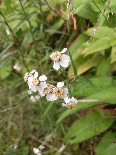
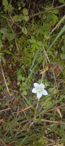
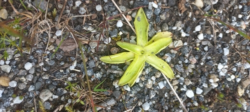
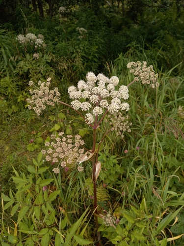
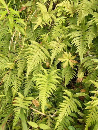
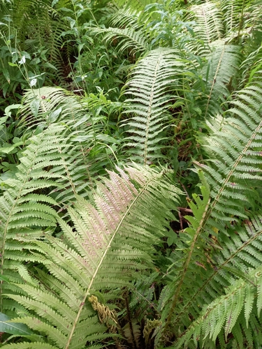
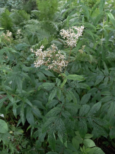
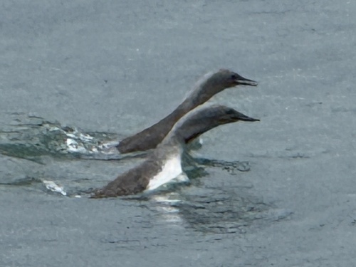
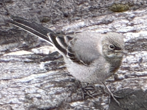
Research-grade observations from iNaturalist (within ~15 mi).
Events
Gallery
Sources
- • Wikipedia
- • Open-Meteo (ERA5 reanalysis)
- • Wikidata
- • USGS Earthquake Catalog (global feed)
- • GBIF (Global Biodiversity Information Facility)
- • iNaturalist
- • Open-Meteo / sunrise-sunset.org
- • Wikipedia Pageviews API
- • Open Library
- • Wikidata SPARQL (CC0) — population, area, elevation, inception, head of government, Commons image