Browse / Norway / Finnmark / Neiden - Njávdán - Njauddâm - Näätämö
Neiden - Njávdán - Njauddâm - Näätämö
Finnmarkvillage

Neiden - Njávdán - Njauddâm - Näätämö
Demographic figures from Statistics Norway (SSB). Overview below cites Wikipedia and may reference a different year.
City facts
Facts from Wikidata (CC0).
Overview
Neiden is a hamlet in Sør-Varanger, Norway.
Read more on WikipediaHistory & geography
History
Neiden became the main settlement of the westernmost (, i.e. the fundamental unit of the old Sami society, indicating both the area and the family group(s) exploiting it) of the Skolts and has remained relatively unchanged, leaving numerous traces of earlier use of the area intact. Neiden was governmentally divided officially in 1852. The reason for that separation was the demarcation treaty between the Kingdom of Sweden-Norway and the Grand Duchy of Finland, which prohibited nomadic reindeer herding and moving of fishermen over the border. That caused much harm to reindeer husbandry for a long time. In October, 1944, German forces withdrew through the area after having failed to capture Murmansk in Operation Silver Fox. On the 26th and 27th around two hundred Soviet and German soldiers were killed around the village.
Excerpted from the corresponding Wikipedia article (CC BY-SA).
Geography
Coordinates & boundaries from the US Census TIGER/Line shapefiles.
Climate
Air quality
Walkability
Amenities nearby
Wildlife & biodiversity
Most-observed species
- Willow WarblerPhylloscopus trochilus (Linnaeus, 1758) · Aves396
- RedwingTurdus iliacus Linnaeus, 1758 · Aves311
- Common RedpollAcanthis flammea (Linnaeus, 1758) · Aves304
- BramblingFringilla montifringilla Linnaeus, 1758 · Aves277
- FieldfareTurdus pilaris Linnaeus, 1758 · Aves240
- Red-throated LoonGavia stellata (Pontoppidan, 1763) · Aves234
- Arctic WarblerPhylloscopus borealis (J.H.Blasius, 1858) · Aves230
- Mew GullLarus canus Linnaeus, 1758 · Aves227
Citizen-science & research observations from the Global Biodiversity Information Facility (GBIF).
Earthquake history
Most recent
- M 2.9 — 2008-10-145 km N of Kirkenes, Norway
Events from the USGS Earthquake Catalog (global) (FDSN Event Web Service).
Photos
Sights & places nearby
Notable people from here
Geography & sun
Elevation, sunrise/sunset and daylight from Open-Meteo. Solar climatology from NASA POWER.
Nearby airports
Public attention
Pageview totals from the Wikimedia Pageviews API.
Books about this place
Recent natural events nearby
Ground air-quality sensors
Recently spotted species
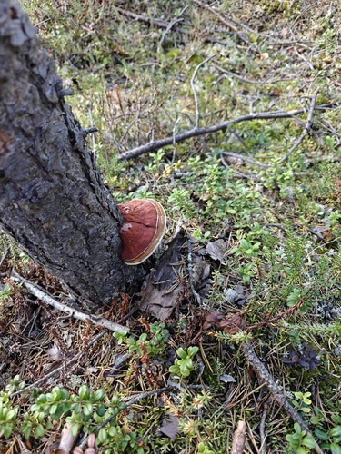
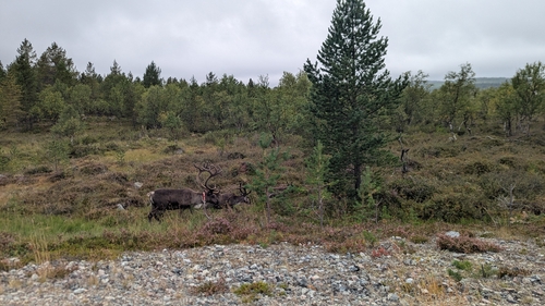
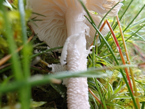
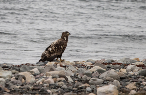
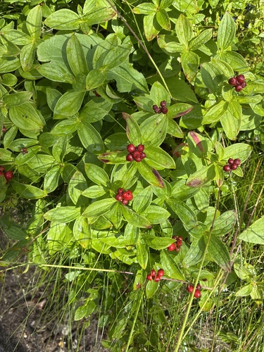
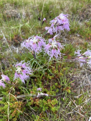
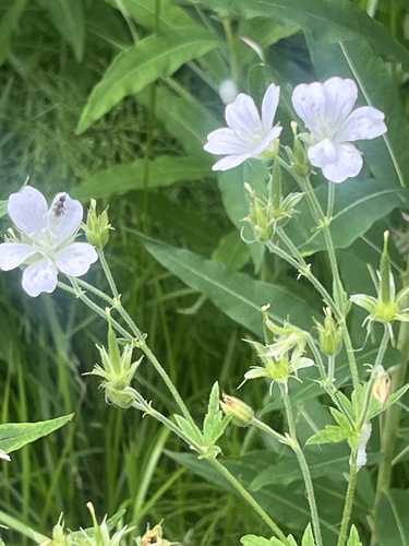
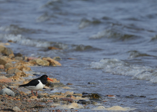
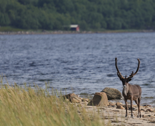
Research-grade observations from iNaturalist (within ~15 mi).
Events
Gallery
Sources
- • Wikipedia
- • Wikidata
- • USGS Earthquake Catalog (global feed)
- • GBIF (Global Biodiversity Information Facility)
- • iNaturalist
- • Open-Meteo / sunrise-sunset.org
- • Wikipedia Pageviews API
- • Wikidata SPARQL (CC0) — population, area, elevation, inception, head of government, Commons image