Browse / Norway / Akershus / Nesoddtangen
Nesoddtangen
Akershustown

Featured view
Nesoddtangen
Total population
13,444
Land area6.17 km²
Coordinates59.86°, 10.66°
Demographic figures from Statistics Norway (SSB). Overview below cites Wikipedia and may reference a different year.
Loading additional data from public sources…0 / 11
CensusWikipediaWeatherPlacesPeopleEnvironmentHealth & SchoolsRelatedGeography & CultureLive MonitoringEvents & Gallery
0% completeCity facts
Area
6.17 km²
Facts from Wikidata (CC0).
Overview
Nesoddtangen is a village and the administrative centre of the municipality of Nesodden in Akershus, Norway.
Read more on WikipediaHistory & geography
Geography
Latitude
59.8561
Longitude
10.6616
Water area
—
Coordinates & boundaries from the US Census TIGER/Line shapefiles.
Climate
Air quality
Walkability
Amenities nearby
Wildlife & biodiversity
Earthquake history
Photos
Sights & places nearby
Notable people from here
Nearby places in Akershus
- Slemmestad7.7 mi away
- Gjellum8.6 mi away
- Varåa19 mi away
- Sørumsand22.1 mi away · pop. 6,075
- Dolní Jamné689.3 mi away · pop. 69
- Mladotice690.3 mi away · pop. 443
- Liblín696.1 mi away · pop. 301
- Drahoňův Újezd700 mi away · pop. 144
- Sklená Huť703.2 mi away · pop. 11
- Lhota pod Radčem703.3 mi away · pop. 267
- Čečkovice704.5 mi away · pop. 77
- Pilsen706.6 mi away · pop. 185,599
Geography & sun
Nearby airports
Public attention
Books about this place
Recent natural events nearby
Ground air-quality sensors
Recently spotted species
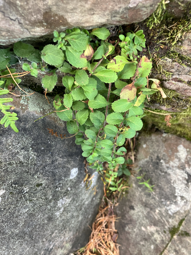
heath speedwell
Veronica officinalis
Seen 2026-10-07
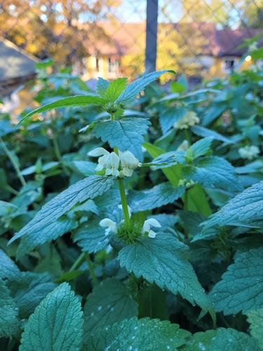
White deadnettle
Lamium album
Seen 2026-10-07
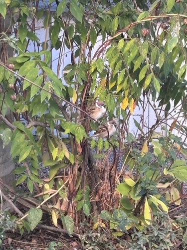
Eurasian Tree Sparrow
Passer montanus
Seen 2026-10-07
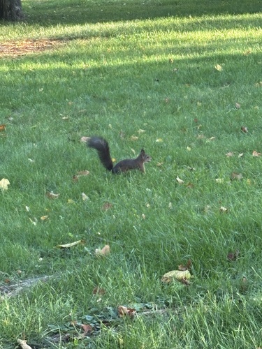
Eurasian Red Squirrel
Sciurus vulgaris
Seen 2026-10-06
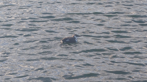
Common Murre
Uria aalge
Seen 2026-10-06
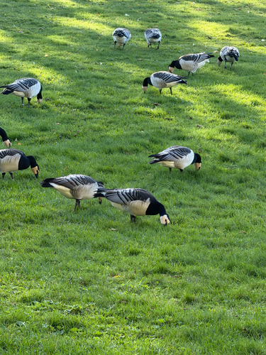
Barnacle Goose
Branta leucopsis
Seen 2026-10-06
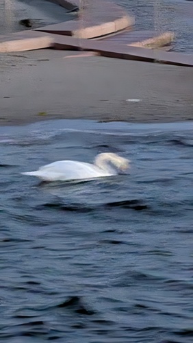
Mute Swan
Cygnus olor
Seen 2026-10-05
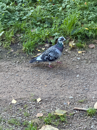
Feral Pigeon
Columba livia domestica
Seen 2026-10-05
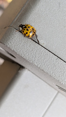
Asian Lady Beetle
Harmonia axyridis
Seen 2026-10-05
Research-grade observations from iNaturalist (within ~15 mi).
Events
Gallery
Sources
- • Wikipedia
- • Wikidata
- • iNaturalist
- • Wikidata SPARQL (CC0) — population, area, elevation, inception, head of government, Commons image