Browse / Norway / Telemark / Rjukan
Rjukan
Telemarktown

Rjukan
Total population
3,012
Air quality index
Demographic figures from Statistics Norway (SSB). Overview below cites Wikipedia and may reference a different year.
City facts
Facts from Wikidata (CC0).
Overview
Rjukan is a town in Tinn Municipality in Telemark county, Norway. The town is also the administrative centre of Tinn Municipality. The town is located in the Vestfjorddalen valley between the lakes Møsvatn and Tinnsjå. The municipal council of Tinn declared town status for Rjukan in 1996. The town is located about ten kilometres to the west of the village of Miland and about 20 kilometres (12 mi) to the northwest of the village of Tuddal.
Rjukan is a small Norwegian industrial town of roughly 3,000 people, tucked into the narrow Vestfjorddalen valley in Telemark county between Lake Møsvatn and Lake Tinnsjå. The steep 1,800-metre walls of Gaustatoppen and the surrounding peaks cast the town into shadow for almost six months of the year — from late September until mid-March the valley floor receives no direct sunlight at all. After more than a century of living without winter sun, the town inaugurated the "Solspeilet" (Sun Mirror) in 2013: three 17-square-metre computer-controlled heliostats mounted 450 metres up the mountainside that track the sun and bounce a 600-square-metre patch of daylight onto Rjukan's main square. The idea was first proposed by hydroelectric pioneer Sam Eyde in 1913, but the engineering only became practical a century later. Rjukan is also a UNESCO World Heritage Site as part of the Rjukan–Notodden Industrial Heritage Site, recognised for the hydroelectric and heavy-water plants built here by Norsk Hydro — the same Vemork plant famously sabotaged by Norwegian commandos in 1943 to derail Nazi Germany's atomic-bomb programme.
Read more on WikipediaHistory & geography
History
In 1906, the area which would become Rjukan consisted of only a few farmsteads, then called Saaheim, when Norsk Hydro began planning saltpeter (fertilizer) production in the area using the newly developed Birkeland–Eyde process. Rjukan was chosen because the Rjukan Falls, with a longest single fall, provided easy means of generating the large amounts of electricity that was required. The Vemork hydroelectric power plant was built between 1907 and 1911, and was at the time the world's largest hydroelectric power plant. A similar power plant was finished in Såheim in 1915. The power plants had a combined cost of more than , the equivalent of two annual national budgets at the time. With the factories, many houses for the factory workers also had to be built, in addition to a train station and a town hall. The town formally changed its name to Rjukan, and in 1920 reached a population of 8,350. After 1960, most of Norsk Hydro's saltpeter production in Rjukan was transferred to factories at Herøya in Porsgrunn.
Excerpted from the corresponding Wikipedia article (CC BY-SA).
Geography
Coordinates & boundaries from the US Census TIGER/Line shapefiles.
Climate
10-year averages from ERA5 reanalysis (Open-Meteo).
Air quality
Current readings from Open-Meteo Air Quality API (Copernicus CAMS European reanalysis).
Walkability
Amenities nearby
Wildlife & biodiversity
Most-observed species
- Witch's HairAlectoria sarmentosa (Ach.) Ach. · Lecanoromycetes671
- Great TitParus major Linnaeus, 1758 · Aves241
- Willow WarblerPhylloscopus trochilus (Linnaeus, 1758) · Aves238
- Meadow PipitAnthus pratensis (Linnaeus, 1758) · Aves235
- Willow TitPoecile montanus (Conrad von Baldenstein, 1827) · Aves232
- Eurasian BullfinchPyrrhula pyrrhula (Linnaeus, 1758) · Aves231
- FieldfareTurdus pilaris Linnaeus, 1758 · Aves210
- Common RavenCorvus corax Linnaeus, 1758 · Aves191
Citizen-science & research observations from the Global Biodiversity Information Facility (GBIF).
Earthquake history
Most recent
- M 2.5 — 2007-11-06southern Norway
- M 2.6 — 2005-01-297 km NNE of Hvittingfoss, Norway
- M 3.1 — 2004-06-2917 km E of Hovden, Norway
Events from the USGS Earthquake Catalog (global) (FDSN Event Web Service).
Photos
Sights & places nearby
Notable people from here


People born within ~10 km, from Wikidata (CC0). Click any name for their Wikipedia article.
Nearby places in Telemark
Geography & sun
Elevation, sunrise/sunset and daylight from Open-Meteo. Solar climatology from NASA POWER.
Nearby airports
Public attention
Pageview totals from the Wikimedia Pageviews API.
Books about this place
Recent natural events nearby
Ground air-quality sensors
Recently spotted species
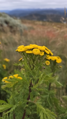
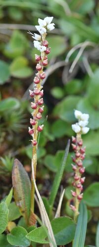
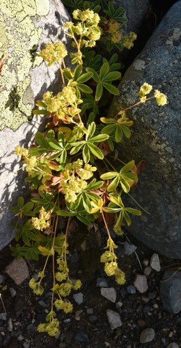
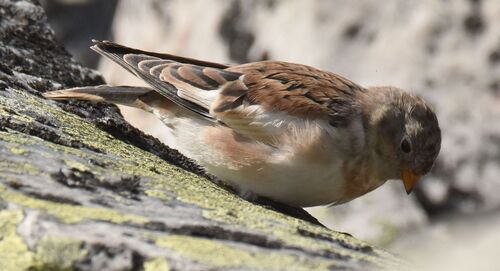
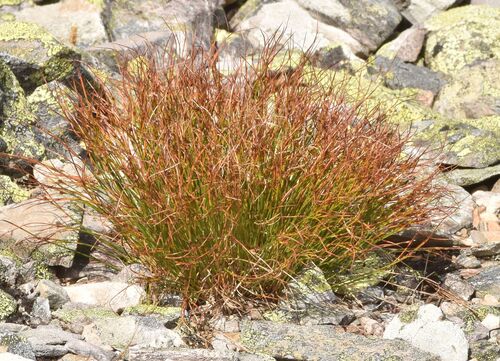
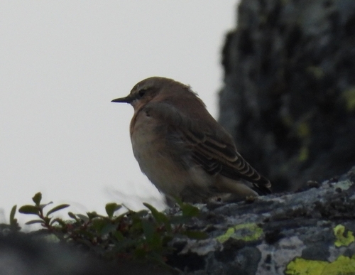
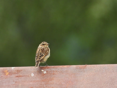
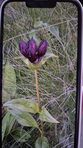
Research-grade observations from iNaturalist (within ~15 mi).
Events
Notable, recurring, and historical events associated with Rjukan, sourced from Wikidata.
- Q65238273Mar 22, 2019sporting event
- Q65238278Mar 22, 2019sporting event
- Q65238260Mar 20, 2019sporting event
- Q65238266Mar 20, 2019sporting event
- Solfestenfestival
Source: Wikidata (CC0).
Gallery
Geotagged photos within ~6 miles of Rjukan, from Wikimedia Commons contributors.
.jpg) 0 mi
0 mi.jpg) 0 mi
0 mi.jpg) 0 mi
0 mi 0 mi
0 mi 0 mi
0 mi.jpg) 0.1 mi
0.1 mi.jpg) 0.1 mi
0.1 mi.jpg) 0.1 mi
0.1 mi 0.1 mi
 0.1 mi
.jpg) 0.1 mi
0.1 mi.jpg) 0.1 mi
0.1 mi 0.1 mi
 0.2 mi
 0.4 mi
 0.4 mi
 0.4 mi
 0.4 mi
 0.4 mi
 0.4 mi
 0.4 mi
 0.4 mi
 0.4 mi
 0.4 mi
Photos via Wikimedia Commons — see each image page for license & attribution.
Sources
- • Wikipedia
- • Open-Meteo (ERA5 reanalysis)
- • Wikimedia Commons
- • Wikidata
- • Open-Meteo Air Quality (CAMS)
- • USGS Earthquake Catalog (global feed)
- • GBIF (Global Biodiversity Information Facility)
- • iNaturalist
- • Open-Elevation
- • Open-Meteo / sunrise-sunset.org
- • Wikipedia Pageviews API
- • Wikidata SPARQL (CC0) — population, area, elevation, inception, head of government, Commons image