Browse / Norway / Østfold / Skjærhalden
Skjærhalden
Østfoldvillage
Total population
928
Demographic figures from Statistics Norway (SSB). Overview below cites Wikipedia and may reference a different year.
City facts
Facts from Wikidata (CC0).
Overview
Skjærhalden is the administrative centre of Hvaler municipality, Norway. It is located on the island Kirkeøy, location of the Ytre Hvaler National Park center. Its population is 642.
Read more on WikipediaHistory & geography
Geography
Coordinates & boundaries from the US Census TIGER/Line shapefiles.
Climate
Air quality
Walkability
Amenities nearby
Wildlife & biodiversity
Most-observed species
- Eurasian BlackbirdTurdus merula Linnaeus, 1758 · Aves3,392
- Great TitParus major Linnaeus, 1758 · Aves3,183
- Common EiderSomateria mollissima (Linnaeus, 1758) · Aves3,090
- Graylag GooseAnser anser (Linnaeus, 1758) · Aves3,079
- Eurasian Blue TitCyanistes caeruleus (Linnaeus, 1758) · Aves2,977
- European GreenfinchChloris chloris (Linnaeus, 1758) · Aves2,713
- Great Cormorant/European ShagPhalacrocorax carbo (Linnaeus, 1758) · Aves2,582
- European RobinErithacus rubecula (Linnaeus, 1758) · Aves2,439
Citizen-science & research observations from the Global Biodiversity Information Facility (GBIF).
Earthquake history
Most recent
- M 2.6 — 2005-01-297 km NNE of Hvittingfoss, Norway
- M 2.6 — 2004-12-2910 km WNW of Flateby, Norway
Events from the USGS Earthquake Catalog (global) (FDSN Event Web Service).
Photos
Sights & places nearby
Notable people from here


People born within ~10 km, from Wikidata (CC0). Click any name for their Wikipedia article.
Nearby places in Østfold
- Askim38.8 mi away · pop. 15,629
- Vrbno674 mi away · pop. 85
- Padařov676 mi away · pop. 126
- Mužetice676.3 mi away · pop. 67
- Čekanice676.5 mi away · pop. 72
- Holušice676.9 mi away · pop. 75
- Horní Světlá676.9 mi away · pop. 26
- Jeníčkova Lhota677.3 mi away · pop. 95
- Kožlí u Čížové677.8 mi away · pop. 72
- Domamyšl678.1 mi away · pop. 46
- Babčice678.2 mi away · pop. 30
- Hartvíkov678.9 mi away · pop. 23
Geography & sun
Elevation, sunrise/sunset and daylight from Open-Meteo. Solar climatology from NASA POWER.
Nearby airports
Public attention
Pageview totals from the Wikimedia Pageviews API.
Books about this place
Recent natural events nearby
Ground air-quality sensors
Recently spotted species
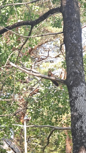
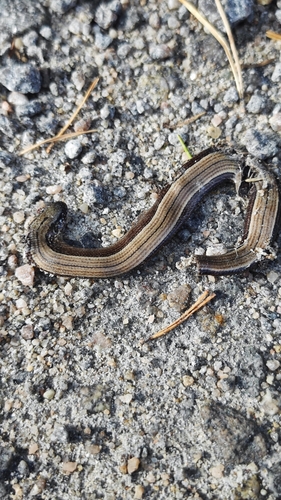
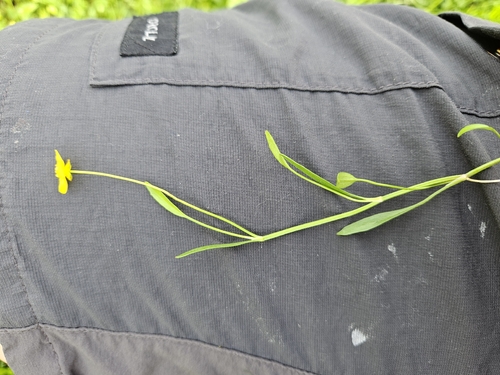
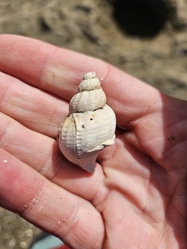
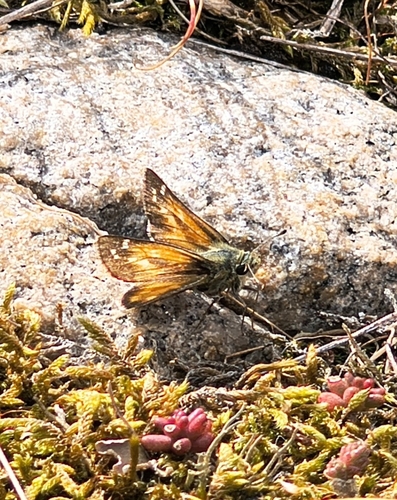
Research-grade observations from iNaturalist (within ~15 mi).
Events
Gallery
Sources
- • Wikipedia
- • Wikidata
- • USGS Earthquake Catalog (global feed)
- • GBIF (Global Biodiversity Information Facility)
- • iNaturalist
- • Open-Meteo / sunrise-sunset.org
- • Wikipedia Pageviews API
- • Wikidata SPARQL (CC0) — population, area, elevation, inception, head of government, Commons image