Browse / Norway / Vestland / Solvorn
Solvorn
Vestlandvillage

Solvorn
Demographic figures from Statistics Norway (SSB). Overview below cites Wikipedia and may reference a different year.
City facts
Overview
Solvorn is a village in Luster Municipality in Vestland county, Norway. The village is located on the western shore of the Lustrafjorden, the innermost part of the Sognefjorden. The village sits directly across the fjord from the village of Ornes, where the famous 12th-century Urnes Stave Church is located. The village of Hafslo lies about 4 kilometres (2.5 mi) to the northwest.
History & geography
Geography
Coordinates & boundaries from the US Census TIGER/Line shapefiles.
Climate
Air quality
Walkability
Amenities nearby
Wildlife & biodiversity
Earthquake history
Photos
Sights & places nearby
Notable people from here
Nearby places in Vestland
- Leirvik120.7 mi away · pop. 14,767
- Sidi Mediouni1813.5 mi away
- El Kouamlia1816.6 mi away
- El Amria1817.6 mi away
- Sassel1821.7 mi away
- Tamzoura1822.3 mi away · pop. 9,944
- Ouled Taoui1822.6 mi away
- Hassi El Ghella1822.7 mi away
- Ouled Boudjemaa1822.8 mi away · pop. 6,228
- Ain El Beida1823.4 mi away
- Khedaïda1823.5 mi away
- Douar El Msaada1824.8 mi away
Geography & sun
Elevation, sunrise/sunset and daylight from Open-Meteo. Solar climatology from NASA POWER.
Nearby airports
Public attention
Pageview totals from the Wikimedia Pageviews API.
Books about this place
Recent natural events nearby
Ground air-quality sensors
Recently spotted species

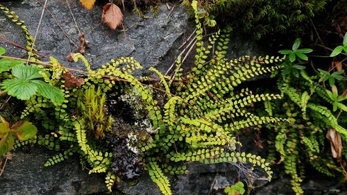
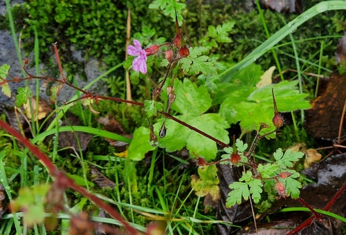

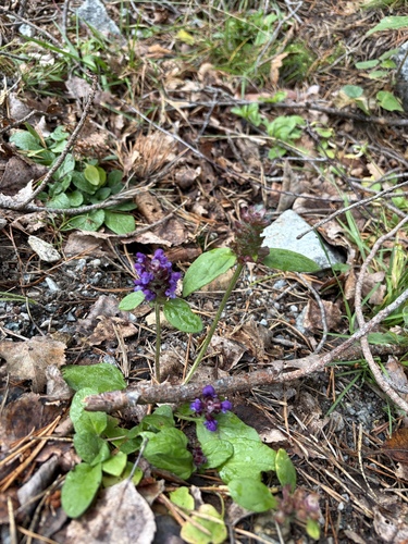
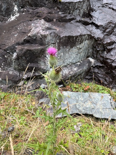
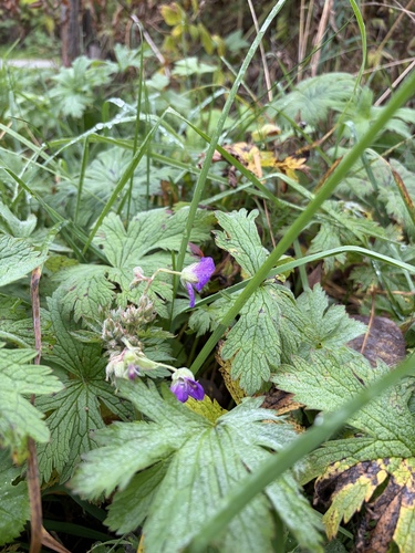

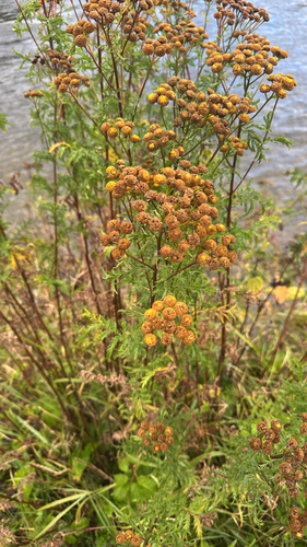
Research-grade observations from iNaturalist (within ~15 mi).
Events
Gallery
Sources
- • Wikipedia
- • iNaturalist
- • Open-Meteo / sunrise-sunset.org
- • Wikipedia Pageviews API
- • Wikidata SPARQL (CC0) — population, area, elevation, inception, head of government, Commons image