Browse / Norway / Rogaland / Stavanger
Stavanger
Rogalandcity

Stavanger
Total population
241,644
Founded
1837
Demographic figures from Statistics Norway (SSB). Overview below cites Wikipedia and may reference a different year.
City facts
Sister cities
Facts from Wikidata (CC0).
Overview
Stavanger, officially the Stavanger Municipality, is a city and municipality in Norway. It is the third largest city and third largest metropolitan area in Norway and the administrative center of Rogaland county. The municipality is the fourth most populous in Norway. Located on the Stavanger Peninsula in southwest Norway, Stavanger counts its official founding year as 1125, the year the Stavanger Cathedral was completed. Stavanger's core is to a large degree 18th- and 19th-century wooden houses that are protected and considered part of the city's cultural heritage. This has caused the town center and inner city to retain a small-town character with an unusually high ratio of detached houses, and has contributed significantly to spreading the city's population growth to outlying parts of Greater Stavanger.
Read more on WikipediaHistory & geography
History
The first traces of settlement in the Stavanger region come from the days when the ice retreated after the last ice age c. 10,000 years ago. A number of historians have argued convincingly that North-Jæren was an economic and military center as far back as the 9th and 10th centuries with the consolidation of the nation at the Battle of Hafrsfjord around 872. Stavanger grew into a center of church administration and an important south-west coast market town around 1100–1300. Stavanger fulfilled an urban role prior to its status as city (1125), from around the time the Stavanger bishopric was established in the 1120s. Bishop Reinald, who may have come from Winchester, England, is said to have started construction of Stavanger Cathedral () around 1100. It was finished around 1125, and the city of Stavanger counts 1125 as its year of foundation. With the Protestant Reformation in 1536, Stavanger's role as a religious center declined, and the establishment of Kristiansand in the early 17th century led to the relocation of the bishopric. However, rich herring fisheries in the 19th century gave the city new life. - Stavanger was established as a municipality on 1 January 1838 (see law). On 1 January 1867, a small area of Hetland Municipality (population: 200) was transferred to the city of Stavanger. Again on 1 January 1879, another area of Hetland Municipality (population: 1,357) was transferred to Stavanger. Then again on 1 January 1906, the city again annexed another area of Hetland Municipality (population: 399). On 1 July 1923, part of Hetland Municipality (population: 3,063) was moved to the city once again. Finally on 1 July 1953, a final portion of Hetland Municipality (population: 831) was moved to Stavanger. In the 1960s, the work of the Schei Committee pushed…
Geography
The municipality of Stavanger is located in a coastal landscape, bordering the sea to the west and Boknafjorden in the northeast. The Byfjorden and Gandsfjorden run along the east side of the city. It is part of the Low-Jæren, a flat area of land consisting mostly of marsh, sand, and stone aur, that ranges from Ogna River in the south to Tungenes in the north; it is the northernmost part that includes Stavanger. The majority of the municipality lies between in elevation. The landscape has a distinctive appearance with rocks and hills where there is no settlement or agriculture. The city of Stavanger is closely linked to the sea and water, with five lakes (including Breiavatnet, Stora Stokkavatnet, and Mosvatnet) and three fjords (Hafrsfjorden, Byfjorden, and Gandsfjorden); sea and water form the landscape, providing a shoreline rich with vegetation and wildlife. The terrain is low-lying: 49% of the area is less than above sea level, While 7% of the land is at . Stavanger's highest point is the tall Bandåsen. The city has developed on both sides of a hollow that runs right through the terrain, with steep slopes up from the bottom. An extension of Boknafjorden and Byfjorden intersects the harbour into the hollow from the northwest, while Hillevåg lake intrudes from Gandsfjorden in the southeast. Breiavatnet is located between the two fjord arms. The city includes many islands off the coast including: Bjørnøy, Buøy, Engøy, Grasholmen, Hellesøy, Hundvåg, Kalvøy, Lindøy, Sølyst, and Vassøy. It also includes the eastern half of the island of Åmøy. There are several parks and green spots in Stavanger municipality, both in the city and beyond. Central to the town is the city lake which is in turn surrounded by the city park, built as the city's first urban park in…
Excerpted from the corresponding Wikipedia article (CC BY-SA).
Geography
Coordinates & boundaries from the US Census TIGER/Line shapefiles.
Climate
10-year averages from ERA5 reanalysis (Open-Meteo).
Air quality
Walkability
Amenities nearby
Wildlife & biodiversity
Most-observed species
- Eurasian BlackbirdTurdus merula Linnaeus, 1758 · Aves19,579
- Hooded CrowCorvus cornix Linnaeus, 1758 · Aves18,255
- European RobinErithacus rubecula (Linnaeus, 1758) · Aves13,070
- Great TitParus major Linnaeus, 1758 · Aves12,936
- Mew GullLarus canus Linnaeus, 1758 · Aves12,612
- Eurasian Blue TitCyanistes caeruleus (Linnaeus, 1758) · Aves11,726
- Common Wood-PigeonColumba palumbus Linnaeus, 1758 · Aves11,221
- Eurasian MagpiePica pica (Linnaeus, 1758) · Aves10,616
Citizen-science & research observations from the Global Biodiversity Information Facility (GBIF).
Earthquake history
Most recent
- M 3.6 — 2012-03-1413 km WSW of Ølen, Norway
- M 2.5 — 2007-02-08southern Norway
Events from the USGS Earthquake Catalog (global) (FDSN Event Web Service).
Photos
Sights & places nearby
Notable people from here


People born within ~10 km, from Wikidata (CC0). Click any name for their Wikipedia article.
Nearby places in Rogaland
- Haugesund34.8 mi away · pop. 47,346
- Leidland35.9 mi away
- Kiikoinen601.2 mi away · pop. 1,263
- Jätinmaa603.2 mi away
- Äetsä603.3 mi away · pop. 2,156
- Pehula603.4 mi away
- Myöntee603.4 mi away
- Keikyä603.5 mi away
- Heinimaankulma604.3 mi away
- Munkinmaa605.7 mi away
- Pohjakylä608.9 mi away
- Vammala610.8 mi away · pop. 9,790
Geography & sun
Elevation, sunrise/sunset and daylight from Open-Meteo. Solar climatology from NASA POWER.
Nearby airports
Public attention
Pageview totals from the Wikimedia Pageviews API.
Books about Stavanger
Search results from Open Library.
Recent natural events nearby
Ground air-quality sensors
Recently spotted species
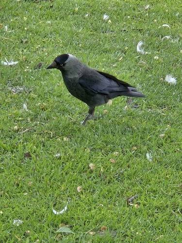
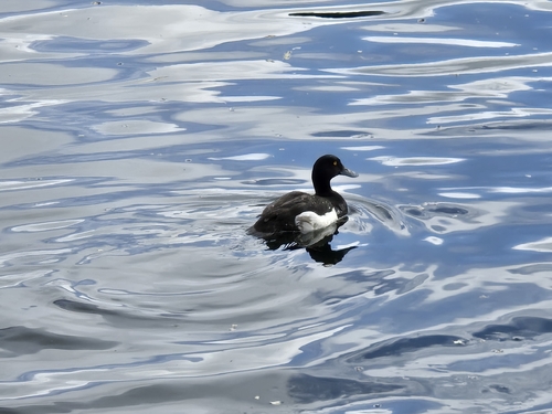
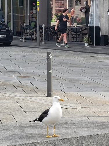
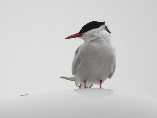
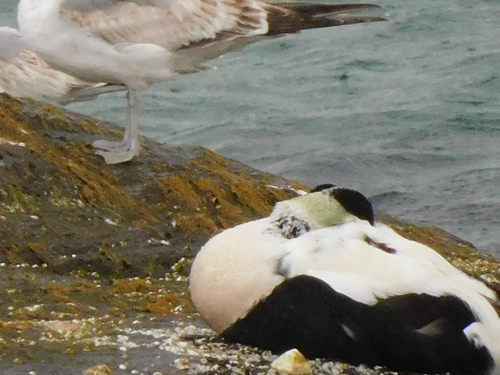
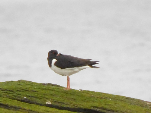
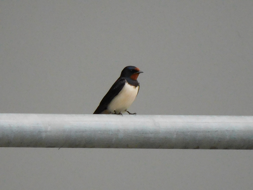
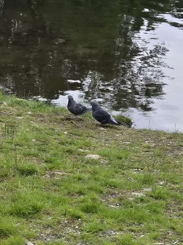
Research-grade observations from iNaturalist (within ~15 mi).
Events
Gallery
Official Identifiers
SSB — Statistics Norway
- Kommunenr
- 1103
- Population (Wikidata)
- 151,669
- Wikidata
- Q25416
Kommunenummer via Wikidata P2504
Sources
- • Wikipedia
- • Open-Meteo (ERA5 reanalysis)
- • Wikidata
- • USGS Earthquake Catalog (global feed)
- • GBIF (Global Biodiversity Information Facility)
- • iNaturalist
- • Open-Meteo / sunrise-sunset.org
- • Wikipedia Pageviews API
- • Open Library
- • Wikidata SPARQL (CC0) — population, area, elevation, inception, head of government, Commons image
- • SSB — Statistics Norway — Kommunenummer via Wikidata P2504