Browse / Norway / Vestland / Vadheim
Vadheim
Vestlandvillage

Vadheim
Total population
246
Demographic figures from Statistics Norway (SSB). Overview below cites Wikipedia and may reference a different year.
City facts
Facts from Wikidata (CC0).
Overview
Vadheim is a village in Høyanger Municipality in Vestland county, Norway. It is located on the north shore of the Sognefjorden, along the small Vadheimsfjorden branch. The European route E39 highway runs through the village. t is located about 25 kilometres (16 mi) northeast of the village of Lavik, about 11 kilometres (6.8 mi) northwest of the village of Kyrkjebø, and about 13.5 kilometres (8.4 mi) northwest of the village of Austreim.
Read more on WikipediaHistory & geography
History
Until around the year 1900 most people in Vadheim were farmers. The farmers often traveled to the city of Bergen to sell their goods. These goods often included wood, butter, animals and horses and were transported by the use of "jekter", a kind of small sailing ship. The road through Vadheim and up the Ytredalen valley towards Sunnfjord Municipality has been an important thoroughfare since time immemorial. The main road was completed in 1895. The central placement of Vadheim resulted in the village becoming a hub for tourism. In 1882, the Vadheim Hotel was built and the transport of tourists through the village became an important source of income for the farmers. The high mountains surrounding the village has been a source of hydropower for the village. As soon as 1895, a dynamo was installed in the local river. This was most likely the first power plant in Sogn og Fjordane county. In 1906, the Englishman Edgar Ashcroft bought the rights to the waterways and created "Vadheim Elektrochemiske Fabriker" in 1907. The plant produced many different kinds of chemical products until its closure in 2007. The plant helped make Vadheim an industry town. Vadheim is the resting place for one of the most famous warships of World War I. During that conflict, Germany converted a number of merchant ships to armed surface raiders. These ships cruised the world's shipping lanes and captured/sank Allied shipping. The most famous and successful of these was . One of the ships she sank was Mount Temple which carried dinosaur fossils destined for the British Museum in London, England. Möwe survived the war. During World War II, under the name Oldenburg, was used in support of the occupation of Norway by Nazi Germany. On 7 April 1945 Bristol Beaufighter aircraft from No. 114 Squadron…
Excerpted from the corresponding Wikipedia article (CC BY-SA).
Geography
Coordinates & boundaries from the US Census TIGER/Line shapefiles.
Climate
Air quality
Walkability
Amenities nearby
Wildlife & biodiversity
Earthquake history
Photos
Sights & places nearby
Notable people from here


People born within ~10 km, from Wikidata (CC0). Click any name for their Wikipedia article.
Nearby places in Vestland
- Leirvik99.3 mi away · pop. 14,767
- Sidi Mediouni1795.7 mi away
- El Kouamlia1798.9 mi away
- El Amria1799.9 mi away
- Sassel1803.7 mi away
- Ouled Taoui1804.8 mi away
- Ouled Boudjemaa1804.9 mi away · pop. 6,228
- Hassi El Ghella1805 mi away
- Tamzoura1805.2 mi away · pop. 9,944
- Ain El Beida1805.8 mi away
- Khedaïda1806.4 mi away
- Douar El Msaada1807 mi away
Geography & sun
Elevation, sunrise/sunset and daylight from Open-Meteo. Solar climatology from NASA POWER.
Nearby airports
Public attention
Pageview totals from the Wikimedia Pageviews API.
Books about this place
Recent natural events nearby
Ground air-quality sensors
Recently spotted species
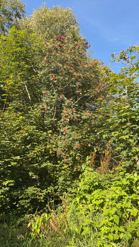
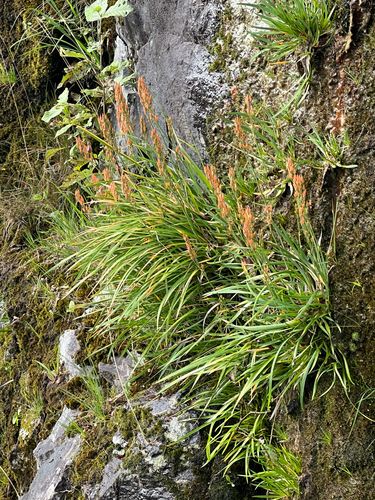
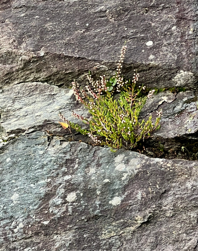

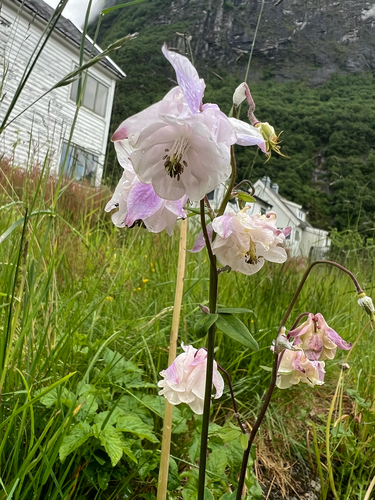
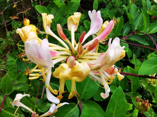
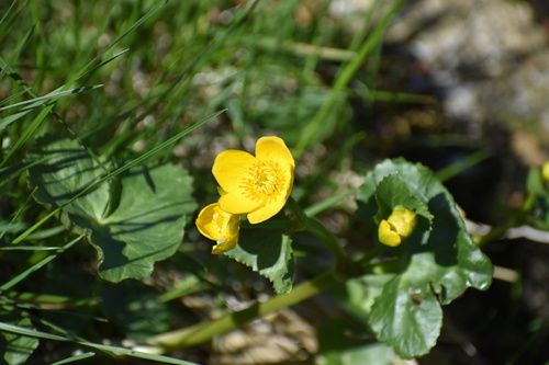
Research-grade observations from iNaturalist (within ~15 mi).
Events
Gallery
Sources
- • Wikipedia
- • Wikidata
- • iNaturalist
- • Open-Elevation
- • Open-Meteo / sunrise-sunset.org
- • Wikipedia Pageviews API
- • Wikidata SPARQL (CC0) — population, area, elevation, inception, head of government, Commons image