Browse / Norway / Vestland / Vossavangen
Vossavangen
Vestlandtown

Vossavangen
Total population
7,165
Demographic figures from Statistics Norway (SSB). Overview below cites Wikipedia and may reference a different year.
City facts
Facts from Wikidata (CC0).
Overview
Vossavangen or Vossevangen is the administrative centre of Voss Municipality in Vestland county, Norway. The village lies on the northeastern shore of the lake Vangsvatnet in the central part of the municipality, about 100 kilometres (62 mi) east of the city of Bergen. The villages of Borstrondi and Kvitheim are both small suburbs located just north of Vossevangen.
Read more on WikipediaHistory & geography
History
According to legend, the people of Voss were forcibly converted to Christianity by King Olav, who later became St. Olav. A stone cross situated in Vossevangen is said to have been erected at this time. The town contains the stone Voss Church from 1277, with a 16th-century eccentric, octagonal steeple. Just outside the village is Finnesloftet, a wooden guildhall believed to be the oldest profane (non-sacred) wooden building in Northern Europe. After the German invasion of Norway on 9 April 1940, Voss was the main point of mobilisation for the Norwegian Army in the west, as the city of Bergen had already fallen on the first day of the invasion. Although most of the troops mobilised here were transferred by railway to the fighting in the east of the country, the German forces, advancing towards Voss along the railway line from Bergen and from the Hardangerfjord, were met with stiff resistance. In Hardanger (to the south), some of the Germans climbed up the mountains from Ålvik while the rest went through Granvin. To break down this resistance, the village of Vossavangen was bombed by the Luftwaffe on 24 and 25 April 1940. About a dozen civilians lost their lives in the bombing which completely destroyed the old wood-built town centre. On 26 April, the German forces entered the village, which remained occupied until 8 May 1945. Today, Voss is an important communications and trade centre for Western Norway. Voss centre is cosy, with a multitude of small shops. The AMFI Voss is located in the centre of Voss and is a modern shopping centre with over 30 shops. The three large hotels Scandic Voss, Fleischers Hotel and Park Hotel Vossevangen are all located in the town. Fleischers Hotel is the main historic hotel in Voss. The hotel was completed in 1889 in the Swiss style.…
Excerpted from the corresponding Wikipedia article (CC BY-SA).
Geography
Coordinates & boundaries from the US Census TIGER/Line shapefiles.
Climate
Air quality
Walkability
Amenities nearby
Wildlife & biodiversity
Most-observed species
- Great TitParus major Linnaeus, 1758 · Aves605
- Eurasian Blue TitCyanistes caeruleus (Linnaeus, 1758) · Aves504
- Eurasian MagpiePica pica (Linnaeus, 1758) · Aves463
- Hooded CrowCorvus cornix Linnaeus, 1758 · Aves403
- White WagtailMotacilla alba Linnaeus, 1758 · Aves403
- Eurasian BlackbirdTurdus merula Linnaeus, 1758 · Aves402
- MallardAnas platyrhynchos Linnaeus, 1758 · Aves372
- Common ChaffinchFringilla coelebs Linnaeus, 1758 · Aves363
Citizen-science & research observations from the Global Biodiversity Information Facility (GBIF).
Earthquake history
Most recent
- M 4 — 2017-11-0720 km WSW of Manger, Norway
- M 2.5 — 2004-11-0115 km SW of Manger, Norway
Events from the USGS Earthquake Catalog (global) (FDSN Event Web Service).
Photos
Sights & places nearby
Notable people from here
Nearby places in Vestland
- Leirvik66.5 mi away · pop. 14,767
- Sidi Mediouni1761.4 mi away
- El Kouamlia1764.5 mi away
- El Amria1765.5 mi away
- Sassel1769.5 mi away
- Tamzoura1770.4 mi away · pop. 9,944
- Ouled Taoui1770.5 mi away
- Ouled Boudjemaa1770.6 mi away · pop. 6,228
- Hassi El Ghella1770.7 mi away
- Ain El Beida1771.3 mi away
- Khedaïda1771.7 mi away
- Douar El Msaada1772.7 mi away
Geography & sun
Elevation, sunrise/sunset and daylight from Open-Meteo. Solar climatology from NASA POWER.
Nearby airports
Public attention
Pageview totals from the Wikimedia Pageviews API.
Books about this place
Recent natural events nearby
Ground air-quality sensors
Recently spotted species
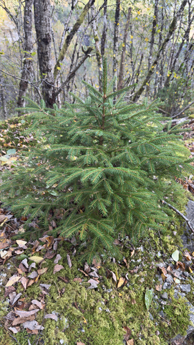
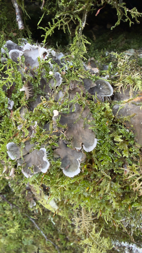
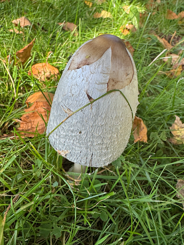
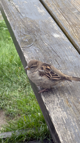
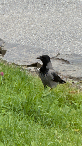
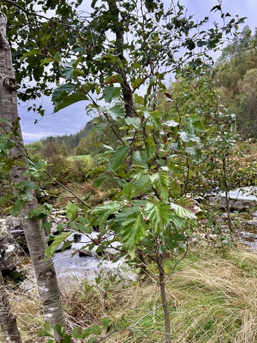
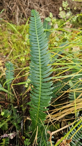
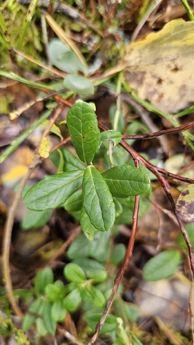
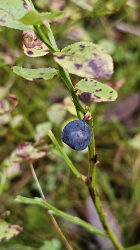
Research-grade observations from iNaturalist (within ~15 mi).
Events
Gallery
Sources
- • Wikipedia
- • Wikidata
- • USGS Earthquake Catalog (global feed)
- • GBIF (Global Biodiversity Information Facility)
- • iNaturalist
- • Open-Meteo / sunrise-sunset.org
- • Wikipedia Pageviews API
- • Wikidata SPARQL (CC0) — population, area, elevation, inception, head of government, Commons image