Browse / United States / Nevada / Crescent Valley
Crescent Valley
NevadaCDP

Crescent Valley
Total population
690
Median home value
$54,300
Bachelor's+
Median income
$75,500
Air quality index
Demographic figures from US Census Bureau · ACS 5-year estimates. Overview below cites Wikipedia and may reference a different year.
City facts
Facts from Wikidata (CC0).
Overview
Crescent Valley is a census-designated place (CDP) in Eureka County, Nevada, United States, directly off Nevada State Route 306. It is the site of Crescent Valley Elementary School, Crescent Valley Fair Grounds, and Crescent Valley Community Park. The census-designated place (CDP) of Crescent Valley had a population of 483 as of the 2020 census.
Read more on WikipediaHistory & geography
History
A post office had been in operation at Crescent Valley since 1963, closing in 2008. A small store at the SE corner of 2nd street and State Route 306 has one of the only “Village Post Offices” in the state of Nevada. Postal boxes to receive mail were installed at the Fairgrounds. Mail is delivered from the Post Office in Carlin, Nevada by automobile. The community takes its name from the valley in which it is located, which in turn was named on account of its crescent shape.
Geography
Crescent Valley is located along the western border of Eureka County, south of Interstate 80 and north of Austin. According to the U.S. Census Bureau, the Crescent Valley CDP has an area of , all of it land. The town itself is about one mile (1.6 km) in length and width with houses and streets on the outskirts reaching as far as two miles (3.2 km) south and north.
Excerpted from the corresponding Wikipedia article (CC BY-SA).
Demographics & economy
Race & ethnicity
Source: US Census Bureau — American Community Survey, 5-year estimates.
Geography
Coordinates & boundaries from the US Census TIGER/Line shapefiles.
Climate
Current forecast
Forecast for Crescent Valley, NV from NOAA NWS API.
Air quality
Current readings from Open-Meteo Air Quality API (Copernicus CAMS European reanalysis).
Industrial & pollution facilities
Natural hazard risk
Health (adults)
Age-adjusted prevalence estimates from CDC PLACES (latest release).
Walkability
Amenities nearby
Wildlife & biodiversity
Most-observed species
- cliff prickly-pearOpuntia polyacantha Haw. · Magnoliopsida88
- Common RavenCorvus corax Linnaeus, 1758 · Aves12
- Horned LarkEremophila alpestris (Linnaeus, 1758) · Aves9
- Red-tailed HawkButeo jamaicensis (Gmelin, 1788) · Aves7
- Desert horned lizardPhrynosoma platyrhinos Girard, 1852 · Squamata7
- Western MeadowlarkSturnella neglecta Audubon, 1844 · Aves7
- Long-billed CurlewNumenius americanus Bechstein, 1812 · Aves6
- Mourning DoveZenaida macroura (Linnaeus, 1758) · Aves6
Citizen-science & research observations from the Global Biodiversity Information Facility (GBIF).
Schools
Largest nearby schools
- Crescent Valley ElementaryElementary · Crescent Valley · 33 students · 6.6:1 ratio
Public K–12 schools within ~10 mi from Urban Institute Education Data Portal (NCES Common Core of Data, 2022).
Earthquake history
Most recent
- M 2.62 — 2026-06-1552 km NE of Valmy, Nevada
- M 2.83 — 2026-06-0352 km NE of Valmy, Nevada
- M 2.89 — 2026-06-0355 km NE of Valmy, Nevada
- M 2.97 — 2026-04-0355 km NE of Valmy, Nevada
- M 2.58 — 2026-03-3154 km NE of Valmy, Nevada
- M 3.77 — 2026-03-3155 km NE of Valmy, Nevada
Events from the USGS Earthquake Catalog (global) (FDSN Event Web Service).
Photos
Sights & places nearby
Notable people from here
Nearby places in Nevada
- Battle Mountain24.3 mi away
- Carlin32.1 mi away · pop. 2,088
- Valmy38.7 mi away
- Elko51.3 mi away · pop. 20,696
- Spring Creek56 mi away · pop. 14,739
- Osino59.9 mi away · pop. 1,341
- Golconda60.8 mi away · pop. 203
- Lamoille61.3 mi away
- Grass Valley67.4 mi away · pop. 1,134
- Austin69 mi away · pop. 64
- Eureka70.6 mi away · pop. 279
- Winnemucca71 mi away · pop. 8,361
Geography & sun
Elevation, sunrise/sunset and daylight from Open-Meteo. Solar climatology from NASA POWER.
Nearby airports
Public attention
Pageview totals from the Wikimedia Pageviews API.
Books about Crescent Valley
Search results from Open Library.
Recent natural events nearby
- Wildfire Antelope Creek, Elko, NevadaWildfires · 2026-08-02 · 44 mi
- Wildfire Shoshone, Churchill, NevadaWildfires · 2026-08-15 · 71 mi
- Wildfire Blue Eagle, Churchill, NevadaWildfires · 2026-08-25 · 75 mi
- Wildfire Jones, Elko, NevadaWildfires · 2026-10-05 · 83 mi
- Emergency Stabilization BAER McConnell, Humboldt, NevadaWildfires · 2026-09-03 · 97 mi
- Wildfire McConnell, Humboldt, NevadaWildfires · 2026-08-25 · 97 mi
- Wildfire Oxley, Elko, NevadaWildfires · 2026-08-24 · 101 mi
- Wildfire California Creek, Elko, NevadaWildfires · 2026-08-25 · 103 mi
Wildfires, storms and other events from NASA EONET (last 12 months, within 250 mi).
Ground air-quality sensors
Recently spotted species
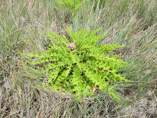
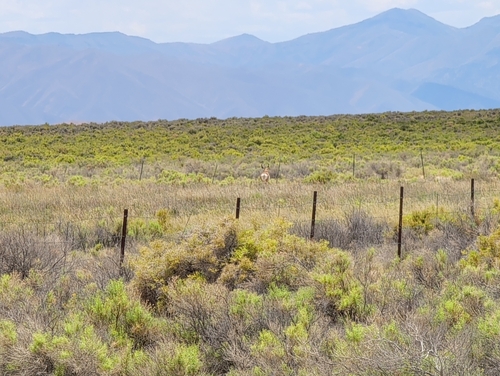
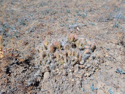
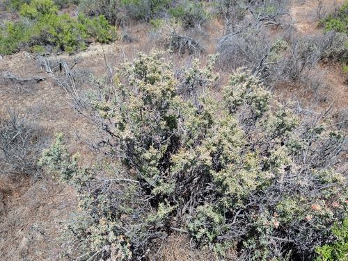
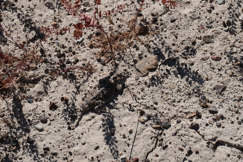
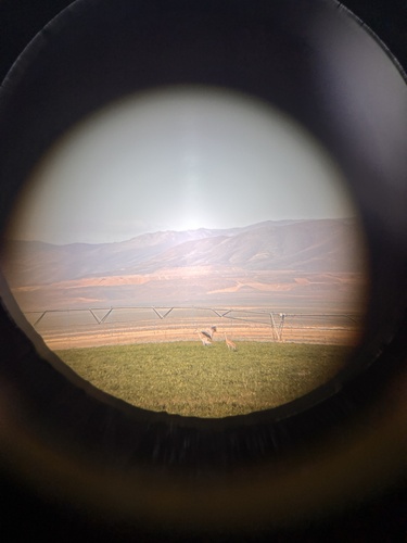
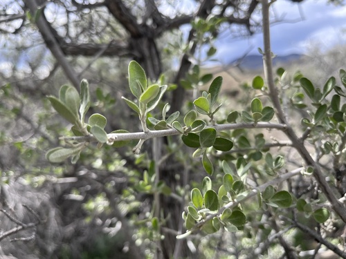
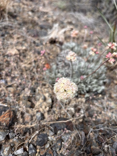
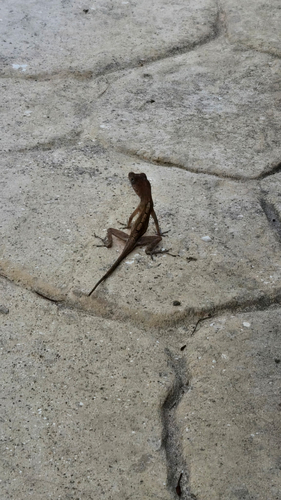
Research-grade observations from iNaturalist (within ~15 mi).
Nearest stream gauge
Live readings from USGS NWIS · measured 2026-10-16 17:45 UTC.
Events
Gallery
Sources
- • Wikipedia
- • US Census Bureau (ACS 5-year estimates)
- • NOAA National Weather Service
- • Wikidata
- • Open-Meteo Air Quality (CAMS)
- • USGS Earthquake Catalog (global feed)
- • USGS NWIS (water data)
- • NCES via Urban Institute Education Data Portal
- • GBIF (Global Biodiversity Information Facility)
- • iNaturalist
- • CDC PLACES
- • Open-Elevation
- • Open-Meteo / sunrise-sunset.org
- • Wikipedia Pageviews API
- • Open Library
- • NASA EONET