Browse / United States / Nevada / Paradise
Paradise
NevadaCDP

Paradise
Total population
183,959
Median home value
$388,100
Bachelor's+
Median income
$56,747
Demographic figures from US Census Bureau · ACS 5-year estimates. Overview below cites Wikipedia and may reference a different year.
City facts
Facts from Wikidata (CC0).
Overview
Paradise is an unincorporated town and census-designated place (CDP) in Clark County, Nevada, United States, adjacent to the city of Las Vegas. It was formed on December 8, 1950. Its population was 191,238 at the 2020 census, making it the fifth-most-populous CDP in the United States; if it were an incorporated city, it would be the fifth-largest in Nevada. As an unincorporated town, it is governed by the Clark County Commission with input from the Paradise Town Advisory Board.
Read more on WikipediaHistory & geography
History
The southern part of the Las Vegas Valley was referred to as Paradise Valley as early as 1910, owing to a high water table that made the land particularly fertile for farming. County commissioners established a Paradise school district in 1914. In 1950, Mayor Ernie Cragin of Las Vegas sought to annex the Las Vegas Strip, which was unincorporated territory, to expand the city's tax base to fund his ambitious building agenda and pay down the city's rising debt. A group of casino executives, led by Gus Greenbaum of the Flamingo, lobbied the county commissioners for town status, which would prevent the city from annexing the land without the commission's approval. The town encompassed a strip wide and long, from the southern city limits of Las Vegas to just south of the Flamingo. A month after its establishment, the town was expanded to include the residential areas of Paradise Valley, giving it a total area of . On August 20, 1951, county commissioners accepted petitions to create two new towns covering the area of the putative town. Town "A" of Paradise included the areas that lay within a Las Vegas school district, extending from the city limits to a point one mile south, while Town "B" included the areas within the Paradise school district. In 1975, Nevada enacted a law that would have incorporated Paradise (along with Sunrise Manor and Winchester) into the City of Las Vegas. Before it could take effect, however, the bill was struck down as unconstitutional by the Nevada Supreme Court. The deadliest fire that occurred in the entire Las Vegas Valley was the MGM Grand fire on November 21, 1980. In the early morning hours, a deli counter had an electrical short that resulted in a fire in the walls of the hotel. The MGM Grand was built to the fire code of 1973, which…
Geography
According to the United States Census Bureau, the census-designated place (CDP) of Paradise (which may not coincide exactly with the town boundaries) has a total area of , all of it land. The official town boundaries are bordered by Desert Inn Road to the north, Nellis Boulevard to the east, Sunset Road to the south and Decatur Boulevard to the west. There is a southern finger between Bermuda Road and Eastern Avenue south to Silverado Ranch Boulevard. South of Russell Road, the eastern border stairsteps on a rough 45-degree angle toward the corner of Eastern and Robindale Road, and there is an additional finger surrounding Interstate 215 east to St. Rose Parkway.
Excerpted from the corresponding Wikipedia article (CC BY-SA).
Demographics & economy
Race & ethnicity
Source: US Census Bureau — American Community Survey, 5-year estimates.
Geography
Coordinates & boundaries from the US Census TIGER/Line shapefiles.
Climate
Current forecast
Forecast for Paradise, NV from NOAA NWS API.
Air quality
Industrial & pollution facilities
Natural hazard risk
Health (adults)
Age-adjusted prevalence estimates from CDC PLACES (latest release).
Walkability
Amenities nearby
Wildlife & biodiversity
Most-observed species
- Great-tailed GrackleQuiscalus mexicanus (Gmelin, 1788) · Aves20,062
- VerdinAuriparus flaviceps (Sundevall, 1850) · Aves18,804
- Mourning DoveZenaida macroura (Linnaeus, 1758) · Aves15,684
- Rock PigeonColumba livia J.F.Gmelin, 1789 · Aves14,915
- Anna's HummingbirdCalypte anna (R.Lesson, 1829) · Aves14,732
- MallardAnas platyrhynchos Linnaeus, 1758 · Aves14,291
- American CootFulica americana Gmelin, 1789 · Aves13,919
- Northern MockingbirdMimus polyglottos (Linnaeus, 1758) · Aves13,888
Citizen-science & research observations from the Global Biodiversity Information Facility (GBIF).
Schools
Largest nearby schools
- Adult Education ProgramsHigh · Las Vegas · 4,559 students · 227.9:1 ratio
- Coronado HSHigh · Henderson · 3,365 students · 27.1:1 ratio
- Liberty HSHigh · Henderson · 3,240 students · 24.2:1 ratio
- Desert Pines HSHigh · Las Vegas · 3,151 students · 24.4:1 ratio
- NV Learning Academy J-SHSHigh · Las Vegas · 3,137 students · 21.5:1 ratio
- Desert Oasis HSHigh · Las Vegas · 3,131 students · 25.9:1 ratio
- Clark Ed W HSHigh · Las Vegas · 3,094 students · 21.8:1 ratio
- Rancho HSHigh · Las Vegas · 3,064 students · 25.1:1 ratio
Public K–12 schools within ~10 mi from Urban Institute Education Data Portal (NCES Common Core of Data, 2022).
Earthquake history
Most recent
- M 2.72 — 2026-08-2017 km NNW of Indian Springs, Nevada
- M 2.99 — 2026-07-1217 km NNW of Indian Springs, Nevada
- M 3.17 — 2026-06-2518 km NNW of Indian Springs, Nevada
- M 2.6 — 2026-06-2518 km NNW of Indian Springs, Nevada
- M 3.75 — 2026-06-0411 km NW of Summerlin South, Nevada
- M 2.5 — 2026-04-2234 km W of Indian Springs, Nevada
Events from the USGS Earthquake Catalog (global) (FDSN Event Web Service).
Photos
Sights & places nearby
Notable people from here
Nearby places in Nevada
- Winchester3.4 mi away · pop. 37,081
- Whitney5.5 mi away · pop. 47,221
- Spring Valley7.2 mi away · pop. 221,300
- Enterprise7.5 mi away · pop. 250,461
- Sunrise Manor7.9 mi away · pop. 199,977
- Henderson8.1 mi away · pop. 350,020
- Summerlin South11.3 mi away · pop. 31,354
- Nellis AFB11.9 mi away · pop. 5,087
- Las Vegas12.4 mi away · pop. 678,924
- North Las Vegas14.2 mi away · pop. 294,042
- Blue Diamond15.8 mi away · pop. 351
- Boulder City21 mi away · pop. 14,919
Geography & sun
Elevation, sunrise/sunset and daylight from Open-Meteo. Solar climatology from NASA POWER.
Nearby airports
Public attention
Pageview totals from the Wikimedia Pageviews API.
Books about Paradise



Search results from Open Library.
Recent natural events nearby
- Cyclone RachelSevere Storms · 2026-10-11 · 152 mi
- Wildfire Campwood, Yavapai, ArizonaWildfires · 2026-08-23 · 153 mi
- Prescribed Fire COOPER UNIT - KPERP RX NKRD CY26, Coconino, ArizonaWildfires · 2026-10-08 · 169 mi
- Prescribed Fire Bridger Trail Unit - KPERP Rx NKRD CY26, Coconino, ArizonaWildfires · 2026-10-09 · 170 mi
- Prescribed Fire McCRAKEN RX-WRD CY26, Coconino, ArizonaWildfires · 2026-10-01 · 175 mi
- Wildfire CYRUS, Kern, CaliforniaWildfires · 2026-10-09 · 186 mi
- Prescribed Fire KENDRICK RX-WRD CY26, Coconino, ArizonaWildfires · 2026-10-01 · 187 mi
- Prescribed Fire Walker Hill Piles RX, Coconino, ArizonaWildfires · 2026-09-28 · 193 mi
Wildfires, storms and other events from NASA EONET (last 12 months, within 250 mi).
Ground air-quality sensors
Recently spotted species
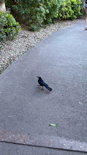
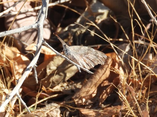
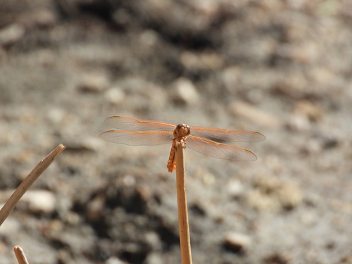
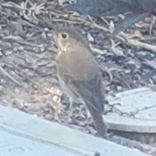
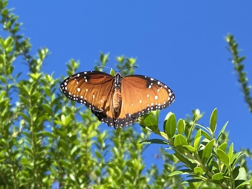
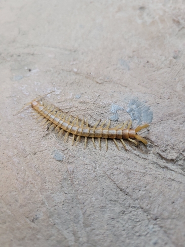
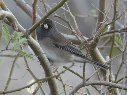
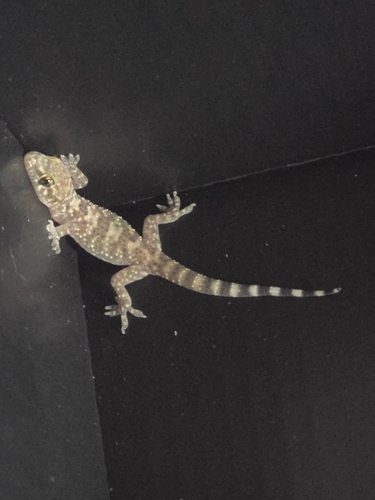
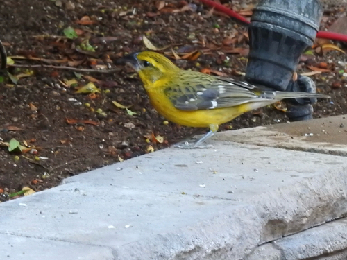
Research-grade observations from iNaturalist (within ~15 mi).
Nearest stream gauge
Live readings from USGS NWIS · measured 2026-10-16 09:35 UTC.
Events
Notable, recurring, and historical events associated with Paradise, sourced from Wikidata.
- Q25378080Dec 10, 1989sporting event
Source: Wikidata (CC0).
Gallery
Sources
- • Wikipedia
- • US Census Bureau (ACS 5-year estimates)
- • NOAA National Weather Service
- • Wikidata
- • USGS Earthquake Catalog (global feed)
- • USGS NWIS (water data)
- • NCES via Urban Institute Education Data Portal
- • GBIF (Global Biodiversity Information Facility)
- • iNaturalist
- • CDC PLACES
- • Open-Elevation
- • Open-Meteo / sunrise-sunset.org
- • Wikipedia Pageviews API
- • Open Library
- • NASA EONET