Browse / United States / New York / Angola
Angola
New Yorkvillage

Angola
Total population
2,411
Median home value
$165,600
Bachelor's+
Median income
$81,108
Air quality index
Demographic figures from US Census Bureau · ACS 5-year estimates. Overview below cites Wikipedia and may reference a different year.
City facts
Facts from Wikidata (CC0).
Overview
Angola is a village in the town of Evans in Erie County, New York, United States. Located 2 miles (3 km) east of Lake Erie, the village is 22 miles (35 km) southwest of downtown Buffalo. As of the 2020 census, Angola had a population of 2,046. An unincorporated community known as Angola on the Lake, with a population of 1,675, lies between Angola village and Lake Erie.
Read more on WikipediaHistory & geography
History
The community was previously called "Evans Station". Around 1854 or 1855, the earliest recorded reference to Angola is in an 1822 publication, when it was one of 3 townships divided from Collins. A post office was established there in 1822 bearing the name "Angola". The first postmaster was Jacob Taylor, a Quaker. The new name was apparently chosen because, at that time, local residents (primarily Quakers) were supporting missionary efforts in the Portuguese colony of Angola in Africa. The economy of the village improved with the arrival of a railroad line in 1852. The Village of Angola was incorporated in 1873. In June 2004, an attempt to dissolve the village was thwarted by a judicial ruling that the petitions for a referendum were invalid. In 2007, the village agreed to dissolve its police department and contract with the Town of Evans for police services. Angola officers would be hired by Evans. In February 2008, local officials rejected the urging of local politician Kevin Gaughan to reduce the size of the village board, stating that no financial savings would result. Gaughan, a proponent of reducing the number of government entities in Erie County, is also a proponent of metro government. The US Post Office—Angola was listed on the National Register of Historic Places in 1988. The Friends of the Village of Angola is a non-profit group of volunteer members whose purpose is to bring more foot traffic to the village. They work to improve and maintain many behind-the-scenes things in Angola. The Friends are responsible for organizing the annual Christmas in the Village, funded by the annual summer Drifters Car Cruise and Donations from individuals and local businesses. On December 18, 1867, just after 3 pm, the last coach of the Buffalo-bound New York…
Geography
Angola is located in southwestern Erie County at (42.639109, -79.030709), near the geographic center of the town of Evans. According to the United States Census Bureau, the village has a total area of , all land. Angola is east of the shore of Lake Erie and is west of the New York State Thruway (Interstate 90). It is on the New York-Buffalo-Chicago Main Line of CSXT and on the Jersey City-Buffalo-Chicago Main Line of the Norfolk Southern Railway. From 1907 to 1932 Angola was on the Buffalo-to-Erie (Pa.) Main Line of the Buffalo & Lake Erie Traction Company (B&LET) and its successor, the Buffalo & Erie Railway (B&E), a high speed interurban electric railway. The B&E was abandoned with the approval of the New York State Public Service Commission to promote the growth and development of highway transportation.
Excerpted from the corresponding Wikipedia article (CC BY-SA).
Demographics & economy
Race & ethnicity
Source: US Census Bureau — American Community Survey, 5-year estimates.
Geography
Coordinates & boundaries from the US Census TIGER/Line shapefiles.
Climate
Current forecast
Forecast for Angola, NY from NOAA NWS API.
Air quality
Current readings from Open-Meteo Air Quality API (Copernicus CAMS European reanalysis).
Industrial & pollution facilities
Natural hazard risk
Health (adults)
Age-adjusted prevalence estimates from CDC PLACES (latest release).
Walkability
Amenities nearby
Wildlife & biodiversity
Most-observed species
- Northern CardinalCardinalis cardinalis (Linnaeus, 1758) · Aves4,944
- Blue JayCyanocitta cristata (Linnaeus, 1758) · Aves4,920
- American CrowCorvus brachyrhynchos C.L.Brehm, 1822 · Aves4,848
- American RobinTurdus migratorius Linnaeus, 1766 · Aves4,360
- Black-capped ChickadeePoecile atricapillus (Linnaeus, 1766) · Aves4,255
- European StarlingSturnus vulgaris Linnaeus, 1758 · Aves3,820
- American GoldfinchSpinus tristis (Linnaeus, 1758) · Aves3,818
- Song SparrowMelospiza melodia (A.Wilson, 1810) · Aves3,438
Citizen-science & research observations from the Global Biodiversity Information Facility (GBIF).
Schools
Largest nearby schools
- FRONTIER MIDDLE SCHOOLMiddle · HAMBURG · 1,071 students · 11.6:1 ratio
- EDEN MIDDLE & HIGH SCHOOLHigh · EDEN · 672 students · 10.5:1 ratio
- LAKE SHORE SENIOR HIGH SCHOOLHigh · ANGOLA · 671 students · 10.8:1 ratio
- ERIE 2-CHAUTAUQUA-CATTARAUGUS BOCESOther · ANGOLA · 636 students · 5.6:1 ratio
- PINEHURST ELEMENTARY SCHOOLElementary · LAKE VIEW · 583 students · 13.3:1 ratio
- WILLIAM G HOUSTON MIDDLE SCHOOLMiddle · ANGOLA · 503 students · 9.7:1 ratio
- HIGHLAND ELEMENTARY SCHOOLElementary · DERBY · 356 students · 10.5:1 ratio
- G L PRIESS PRIMARY SCHOOLElementary · EDEN · 345 students · 12.3:1 ratio
Public K–12 schools within ~10 mi from Urban Institute Education Data Portal (NCES Common Core of Data, 2022).
Earthquake history
Most recent
- M 3.8 — 2023-02-061 km NE of West Seneca, New York
- M 2.6 — 2022-03-155 km SSW of Warsaw, New York
- M 2.52 — 2017-07-1111 km NNW of Barker, New York
- M 2.7 — 2009-12-2110 km NNE of Olcott, New York
- M 2.58 — 2009-09-2020 km ESE of Oakville, Canada
- M 2.91 — 2009-06-054 km SSE of Attica, New York
Events from the USGS Earthquake Catalog (global) (FDSN Event Web Service).
Photos
Sights & places nearby
Notable people from here
Nearby places in New York
- Farnham3.9 mi away · pop. 435
- North Collins5.6 mi away
- Perrysburg12.5 mi away
- North Boston13 mi away · pop. 2,358
- Blasdell14.8 mi away · pop. 2,549
- Orchard Park17 mi away
- East Aurora22.8 mi away · pop. 5,993
- Cheektowaga23.5 mi away · pop. 73,359
- Cherry Creek23.9 mi away · pop. 327
- Cassadaga25.2 mi away · pop. 608
- Little Valley29.3 mi away
- North Tonawanda29.5 mi away · pop. 30,496
Geography & sun
Elevation, sunrise/sunset and daylight from Open-Meteo. Solar climatology from NASA POWER.
Nearby airports
Public attention
Pageview totals from the Wikimedia Pageviews API.
Books about Angola





Search results from Open Library.
Recent natural events nearby
Ground air-quality sensors
Recently spotted species

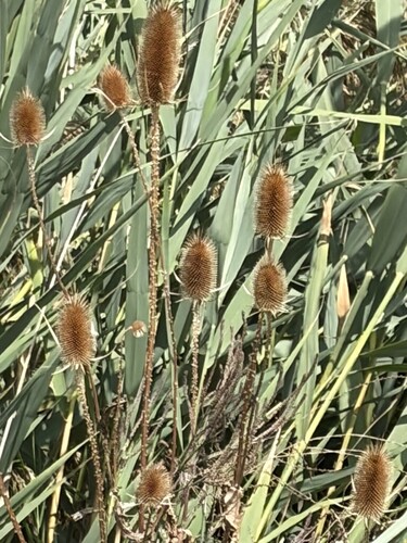
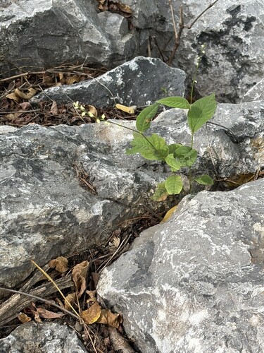
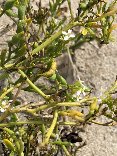
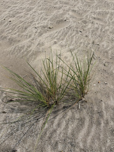
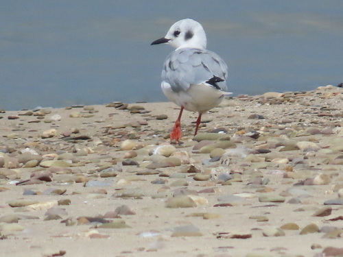
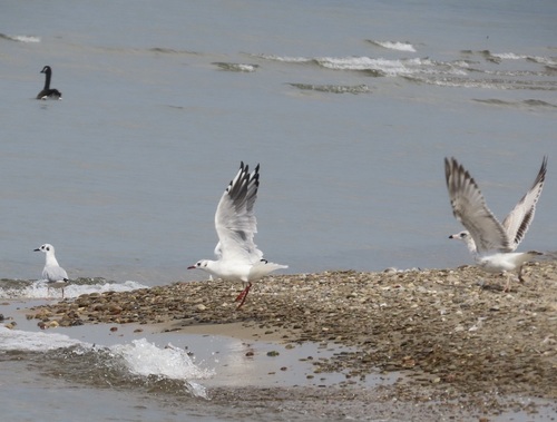
Research-grade observations from iNaturalist (within ~15 mi).
Nearest stream gauge
Events
Gallery
Sources
- • Wikipedia
- • US Census Bureau (ACS 5-year estimates)
- • NOAA National Weather Service
- • Wikidata
- • Open-Meteo Air Quality (CAMS)
- • USGS Earthquake Catalog (global feed)
- • NCES via Urban Institute Education Data Portal
- • GBIF (Global Biodiversity Information Facility)
- • iNaturalist
- • CDC PLACES
- • Open-Meteo / sunrise-sunset.org
- • Wikipedia Pageviews API
- • Open Library