Browse / United States / New York / Bay Shore
Bay Shore
New YorkCDP

Bay Shore
Total population
31,683
Median home value
$492,200
Bachelor's+
Median income
$105,618
Demographic figures from US Census Bureau · ACS 5-year estimates. Overview below cites Wikipedia and may reference a different year.
- Rip Current Statement · ModerateRip Current Statement issued September 21 at 2:33PM EDT until September 22 at 8:00PM EDT by NWS Upton NY
Source: NOAA National Weather Service.
City facts
Overview
Bay Shore is a hamlet and census-designated place (CDP) in the Town of Islip, New York, United States. It is situated on the South Shore of Long Island, adjoining the Great South Bay. The population of the CDP was 29,244 at the time of the 2020 census.
Read more on WikipediaHistory & geography
History
Bay Shore is one of the older hamlets on Long Island. Sagtikos Manor, located in West Bay Shore, was built around 1697. It was used as a British armed forces headquarters, at the time of the Battle of Long Island during the Revolutionary War. President Washington stayed at the Sagtikos Manor during his tour of Long Island in 1790. The land that would become Bay Shore proper was purchased from the Secatogue Native Americans in 1708 by local school teacher John Mowbray for "several eel spears". In 1840, Bay Shore had one of two churches in the entirety of Islip Town. This was a methodist church built in 1828. In 1850, Bay Shore was one of only two proper hamlets in the entire Town of Islip, along with Sayville. The hamlet's name has changed over time: Early European settlers referred to the area first as Penataquit and later as Awixa; both were names used by the indigenous Secatogue. For reasons never documented, the name was changed in the early 19th century to Sodom. In 1842 there was a further name change to Mechanicsville, then a return in 1849 to Penataquit. The change to Penataquit coinciding with a change in the name of the post office to Penataquit. The name Penataquit proved unpopular because it was difficult to spell, and the name of the hamlet and post office was changed to Bay Shore in 1868. Bay Shore became renowned in the late 19th century for its shopping district and resorts. The rural hamlet became popular with affluent New Yorkers looking to escape the city to white sand beaches of the Great South Bay and the fishing villages of Fire Island. It was a tourist spot on weekends and during the summer, in large part because the newly built Long Island Rail Road enabled easy access from New York City. During World War I it became the headquarters of…
Geography
The Bay Shore CDP is located on the South Shore of Long Island, approximately from Manhattan and from Montauk. According to the United States Census Bureau, the CDP has a total area of , of which is land and (2.88%) is water. The village of Brightwaters is west of Bay Shore, and east of West Bay Shore and south of a portion of the Bay Shore CDP; The Great South Bay is to the south. The village separates Bay Shore proper from West Bay Shore.
Excerpted from the corresponding Wikipedia article (CC BY-SA).
Demographics & economy
Race & ethnicity
Source: US Census Bureau — American Community Survey, 5-year estimates.
Geography
Coordinates & boundaries from the US Census TIGER/Line shapefiles.
Climate
Current forecast
Forecast for Bay Shore, NY from NOAA NWS API.
Air quality
Industrial & pollution facilities
Natural hazard risk
Health (adults)
Age-adjusted prevalence estimates from CDC PLACES (latest release).
Walkability
Amenities nearby
Wildlife & biodiversity
Schools
Earthquake history
Photos
Sights & places nearby
Notable people from here


People born within ~10 km, from Wikidata (CC0). Click any name for their Wikipedia article.
Nearby places in New York
Geography & sun
Elevation, sunrise/sunset and daylight from Open-Meteo. Solar climatology from NASA POWER.
Nearby airports
Public attention
Pageview totals from the Wikimedia Pageviews API.
Books about Bay Shore





Search results from Open Library.
Recent natural events nearby
Ground air-quality sensors
Recently spotted species
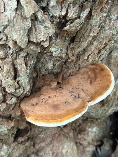

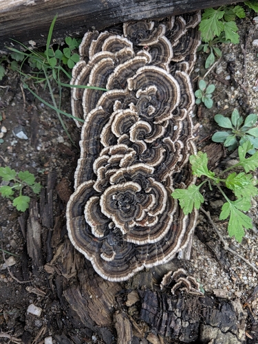
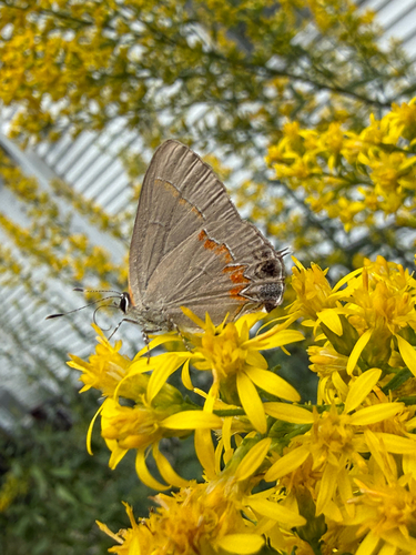

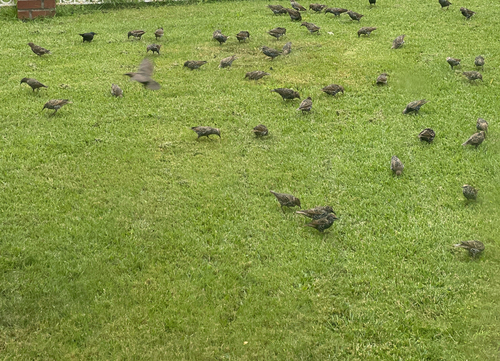
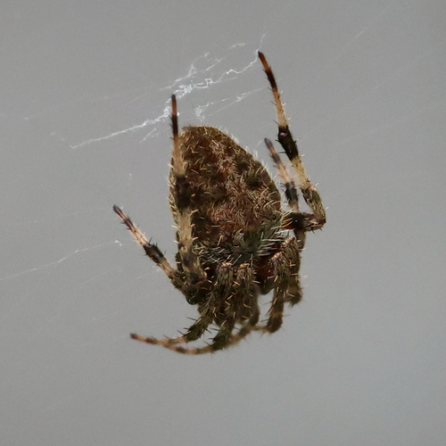
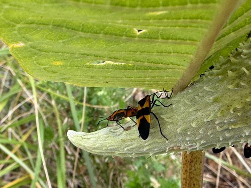
Research-grade observations from iNaturalist (within ~15 mi).
Nearest stream gauge
Live readings from USGS NWIS · measured 2026-09-22 01:00 UTC.
Events
Gallery
Sources
- • Wikipedia
- • US Census Bureau (ACS 5-year estimates)
- • NOAA National Weather Service
- • Wikidata
- • USGS NWIS (water data)
- • iNaturalist
- • CDC PLACES
- • Open-Elevation
- • Open-Meteo / sunrise-sunset.org
- • Wikipedia Pageviews API
- • Open Library