Browse / United States / New York / Brocton
Brocton
New Yorkvillage

Brocton
Total population
1,404
Median home value
$110,100
Bachelor's+
Median income
$58,500
Founded
1805
Demographic figures from US Census Bureau · ACS 5-year estimates. Overview below cites Wikipedia and may reference a different year.
City facts
Facts from Wikidata (CC0).
Overview
Brocton is a village in Chautauqua County, New York, United States. The name was derived by combining the names "Brockway" and "Minton", two prominent local families. The population was 1,335 at the 2020 census. Brocton is within the town of Portland.
Read more on WikipediaHistory & geography
History
The community was first settled in 1805 by Captain James Dunn. The village of Brocton was incorporated in 1894. Brocton used to be named "Salems Corners (Cross Roads)" after Salem, Massachusetts, but was later renamed "Brocton". In 1913, to commemorate the town of Portland's Centennial, a green double-arch was erected over the town's main intersection. It is believed to be the only double-arch east of the Mississippi River. It was listed on the National Register of Historic Places in 1996. The St. Stephen's Hotel has been a fixture at the center of Brocton since the mid-1800s.
Geography
Brocton is located in the northeastern part of the town of Portland, in northern Chautauqua County. According to the United States Census Bureau, Brocton has a total area of , all land. US 20 passes through the village. The New York State Thruway (Interstate 90) passes just north of the village limits, but the closest access is to the east near Fredonia. Lake Avenue (former NY Route 380) intersects US 20 in the center of the village and leads north to Lake Erie State Park.
Excerpted from the corresponding Wikipedia article (CC BY-SA).
Demographics & economy
Race & ethnicity
Source: US Census Bureau — American Community Survey, 5-year estimates.
Geography
Coordinates & boundaries from the US Census TIGER/Line shapefiles.
Climate
Current forecast
Forecast for Brocton, NY from NOAA NWS API.
Air quality
Industrial & pollution facilities
Natural hazard risk
Health (adults)
Age-adjusted prevalence estimates from CDC PLACES (latest release).
Walkability
Amenities nearby
Wildlife & biodiversity
Schools
Largest nearby schools
- DUNKIRK SENIOR HIGH SCHOOLHigh · DUNKIRK · 882 students · 10.6:1 ratio
- DUNKIRK INTERMEDIATE SCHOOLElementary · DUNKIRK · 588 students · 12:1 ratio
- FREDONIA HIGH SCHOOLHigh · FREDONIA · 463 students · 9.6:1 ratio
- FREDONIA MIDDLE SCHOOLMiddle · FREDONIA · 426 students · 10.4:1 ratio
- FREDONIA ELEMENTARY SCHOOLElementary · FREDONIA · 398 students · 9.5:1 ratio
- CHAUTAUQUA LAKE SECONDARY SCHOOLHigh · MAYVILLE · 379 students · 8.6:1 ratio
- CHAUTAUQUA LAKE ELEMENTARY SCHOOLElementary · MAYVILLE · 338 students · 8.9:1 ratio
- WESTFIELD ELEMENTARY SCHOOLElementary · WESTFIELD · 297 students · 9.9:1 ratio
Public K–12 schools within ~10 mi from Urban Institute Education Data Portal (NCES Common Core of Data, 2022).
Earthquake history
Photos
Sights & places nearby
Notable people from here
Geography & sun
Elevation, sunrise/sunset and daylight from Open-Meteo. Solar climatology from NASA POWER.
Nearby airports
Public attention
Pageview totals from the Wikimedia Pageviews API.
Books about Brocton
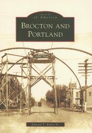
Search results from Open Library.
Recent natural events nearby
Ground air-quality sensors
Recently spotted species
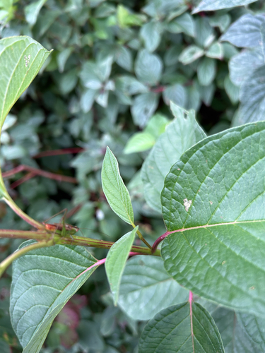
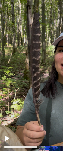
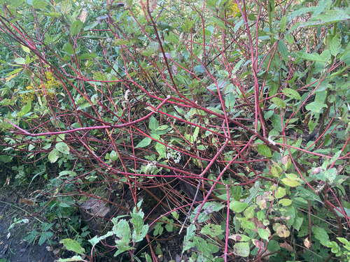
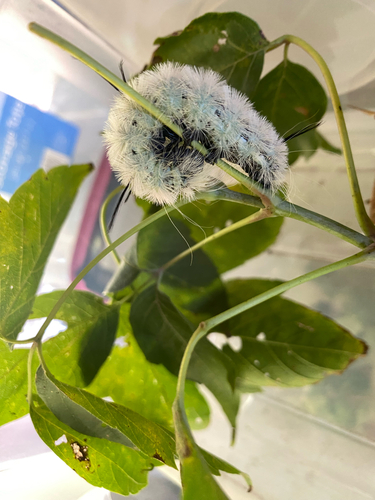
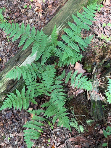
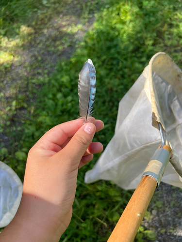
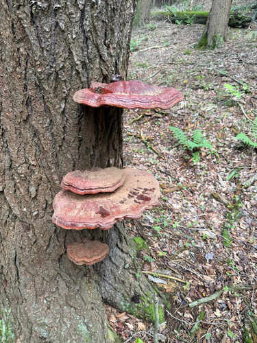
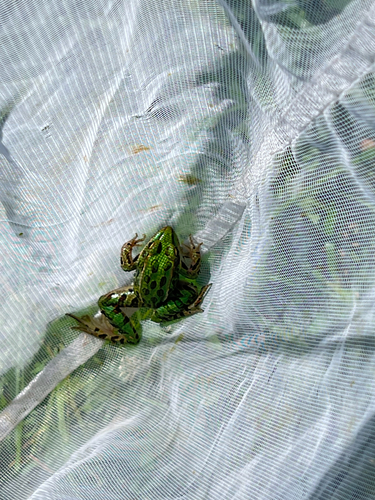
Research-grade observations from iNaturalist (within ~15 mi).
Nearest stream gauge
Events
Gallery
Sources
- • Wikipedia
- • US Census Bureau (ACS 5-year estimates)
- • NOAA National Weather Service
- • Wikidata
- • NCES via Urban Institute Education Data Portal
- • iNaturalist
- • CDC PLACES
- • Open-Meteo / sunrise-sunset.org
- • Wikipedia Pageviews API
- • Open Library