Browse / United States / New York / Brushton
Brushton
New Yorkvillage

Brushton
Total population
504
Median home value
$111,200
Bachelor's+
Median income
$54,635
Demographic figures from US Census Bureau · ACS 5-year estimates. Overview below cites Wikipedia and may reference a different year.
City facts
Facts from Wikidata (CC0).
Overview
Brushton is a village in Franklin County, New York, United States. As of the 2020 census, Brushton had a population of 443. The village is named after Henry Brush, a land owner.
Read more on WikipediaHistory & geography
History
The village took its name from Brush's Mills, which were located on the Little Salmon River. The mills were purchased by Mr. Henry N. Brush in 1835, and the hamlet was officially named "Brushton" on October 1, 1877. From Frederick Seaver's Historical Sketches of Franklin County, NY (1918), p. 519: "The industrial enterprises of Moira were never numerous or large. The community is distinctively agricultural, but with two small unincorporated villages -- Brushton and Moira. Each is a station on the Rutland Railroad, and each is on an improved trunk-line highway. Almost with the first settlement in the town, Appleton Foote, as the agent of Gilchrist and Fowler, erected a saw mill at what is now Brushton, and a grist mill there in the year following, which was displaced by the present stone mill in 1823, built by Robert Watts, and later improved and enlarged by Henry N. Brush." And Seaver, p. 518: "Henry N. Brush located at Brush's Mills (now Brushton) in 1835. He was a man of finished education, an engaging public speaker, and a man of strong parts. ... His holdings of land were large, and the business and industrial development of the eastern part of Moira were due largely to his activities. He died in 1872." Brush's son, Henry Corbin Brush, was born in Brush's Mills in 1838 and was the inventor of the Brush Trolling Spoon shallow-running submersible fishing lure.
Geography
Brushton is located in the eastern part of the town of Moira at (44.830736, -74.514341), in northwestern Franklin County. According to the United States Census Bureau, the village has a total area of , all land. Brushton is located on U.S. Route 11 (Washington Street) at the junction of County Road 8 (Fay-Brushton Road/Farm-To-Market Rd.). On US-11, the community of Moira is to the west, and North Bangor is to the east. Malone is to the east on US-11. The Little Salmon River flows northward through the village. Via the Salmon River, its waters flow to the St. Lawrence River, just across the Canada–US border in Quebec.
Excerpted from the corresponding Wikipedia article (CC BY-SA).
Demographics & economy
Race & ethnicity
Source: US Census Bureau — American Community Survey, 5-year estimates.
Geography
Coordinates & boundaries from the US Census TIGER/Line shapefiles.
Climate
Current forecast
Forecast for Brushton, NY from NOAA NWS API.
Air quality
Industrial & pollution facilities
Natural hazard risk
Health (adults)
Age-adjusted prevalence estimates from CDC PLACES (latest release).
Walkability
Amenities nearby
Wildlife & biodiversity
Most-observed species
- American CrowCorvus brachyrhynchos C.L.Brehm, 1822 · Aves1,096
- Black-capped ChickadeePoecile atricapillus (Linnaeus, 1766) · Aves903
- Song SparrowMelospiza melodia (A.Wilson, 1810) · Aves859
- American RobinTurdus migratorius Linnaeus, 1766 · Aves858
- Blue JayCyanocitta cristata (Linnaeus, 1758) · Aves851
- Canada Goose (canadensis Group)Branta canadensis (Linnaeus, 1758) · Aves735
- American GoldfinchSpinus tristis (Linnaeus, 1758) · Aves650
- Red-winged BlackbirdAgelaius phoeniceus (Linnaeus, 1766) · Aves627
Citizen-science & research observations from the Global Biodiversity Information Facility (GBIF).
Schools
Largest nearby schools
- BRUSHTON GRADE SCHOOLElementary · BRUSHTON · 457 students · 13.1:1 ratio
- SALMON RIVER HIGH SCHOOLHigh · FORT COVINGTON · 396 students · 9.4:1 ratio
- BRUSHTON-MOIRA HIGH SCHOOLHigh · BRUSHTON · 328 students · 9.1:1 ratio
- SALMON RIVER ELEMENTARY SCHOOLElementary · FORT COVINGTON · 317 students · 9.1:1 ratio
- SALMON RIVER MIDDLE SCHOOLMiddle · FORT COVINGTON · 313 students · 8.9:1 ratio
Public K–12 schools within ~10 mi from Urban Institute Education Data Portal (NCES Common Core of Data, 2022).
Earthquake history
Most recent
- M 2.7 — 2025-10-144 km NNW of Chazy, New York
- M 2.5 — 2025-01-016 km SSE of Fort Covington Hamlet, New York
- M 2.8 — 2024-07-2911 km SSW of Sainte-Martine, Canada
- M 2.5 — 2024-06-0510 km S of Franklin, Canada
- M 2.7 — 2024-05-1511 km NW of L'Orignal, Canada
- M 3.1 — 2024-02-016 km WNW of Huntingdon, Canada
Events from the USGS Earthquake Catalog (global) (FDSN Event Web Service).
Photos
Sights & places nearby
Notable people from here


People born within ~10 km, from Wikidata (CC0). Click any name for their Wikipedia article.
Nearby places in New York
Geography & sun
Elevation, sunrise/sunset and daylight from Open-Meteo. Solar climatology from NASA POWER.
Nearby airports
Public attention
Pageview totals from the Wikimedia Pageviews API.
Books about Brushton
Search results from Open Library.
Recent natural events nearby
Ground air-quality sensors
Recently spotted species
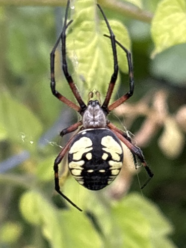
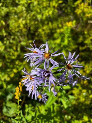
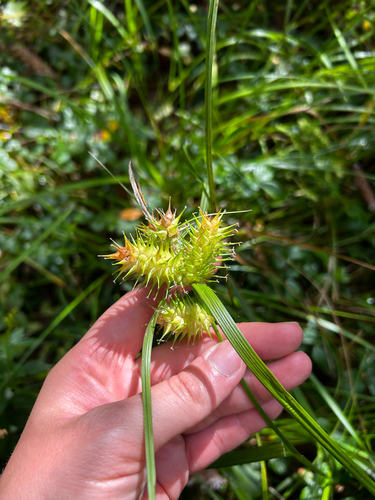
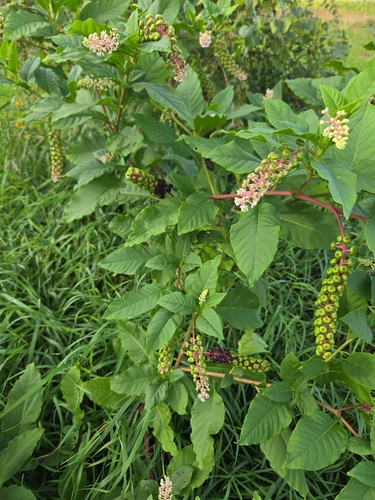
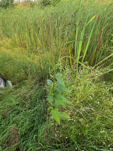
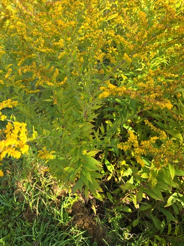
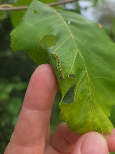
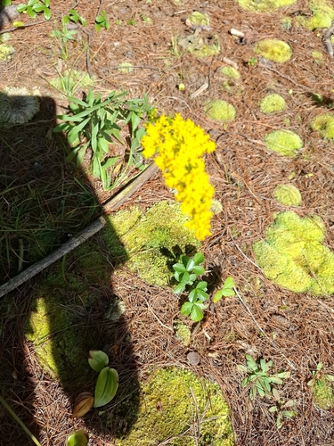
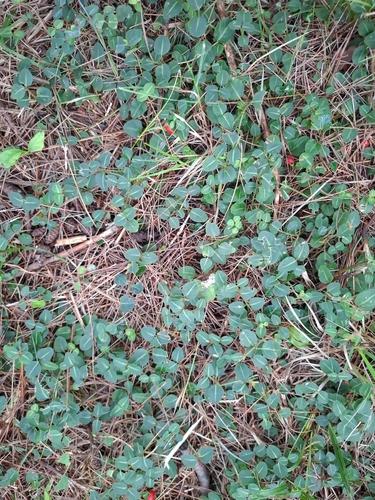
Research-grade observations from iNaturalist (within ~15 mi).
Nearest stream gauge
Events
Gallery
Sources
- • Wikipedia
- • US Census Bureau (ACS 5-year estimates)
- • NOAA National Weather Service
- • Wikidata
- • USGS Earthquake Catalog (global feed)
- • NCES via Urban Institute Education Data Portal
- • GBIF (Global Biodiversity Information Facility)
- • iNaturalist
- • CDC PLACES
- • Open-Meteo / sunrise-sunset.org
- • Wikipedia Pageviews API
- • Open Library