Browse / United States / New York / Buffalo
Buffalo
New Yorkcity

Buffalo
Total population
276,618
Median home value
$187,000
Bachelor's+
Median income
$52,211
Founded
1832
Air quality index
Demographic figures from US Census Bureau · ACS 5-year estimates. Overview below cites Wikipedia and may reference a different year.
- Freeze Watch · SevereFreeze Watch issued October 16 at 12:42PM EDT until October 18 at 9:00AM EDT by NWS Buffalo NY
Source: NOAA National Weather Service.
City facts
Sister cities
Facts from Wikidata (CC0).
Overview
Buffalo is a city in the U.S. state of New York. It lies in Western New York on the eastern shore of Lake Erie and at the head of the Niagara River on the Canada–United States border. It is the second-most populous city in New York, with a population of 278,349 at the 2020 census. The Buffalo–Niagara Falls metropolitan area, with over 1.23 million residents, is the 2nd-largest metropolitan area in New York State behind only the New York City metropolitan area, and the 51st-largest metropolitan area in the United States. Buffalo is the county seat of Erie County.
Read more on WikipediaHistory & geography
History
Before the arrival of Europeans, nomadic Paleo-Indians inhabited the western New York region from the 8th millennium BCE. The Woodland period began around 1000 BC, marked by the rise of the Haudenosaunee Confederacy and the spread of its tribes throughout the state. Seventeenth-century Jesuit missionaries were the first Europeans to visit the area. During the Beaver Wars in the mid-17th century the Senecas conquered the Erie and Neutrals in the region. Native Americans did not settle along Buffalo Creek permanently until 1780, when displaced Senecas were relocated from Fort Niagara. The Seneca town of , meaning "Between the basswoods," was historically located on Buffalo Creek, and continues to be used as the Seneca name for the modern city of Buffalo. Louis Hennepin and Sieur de La Salle explored the upper Niagara and Ontario regions in the late 1670s. In 1679, La Salle's ship, Le Griffon, became the first to sail above Niagara Falls near Cayuga Creek. Baron de Lahontan visited the site of Buffalo in 1687. New York and Massachusetts were vying for the territory which included Buffalo, and Massachusetts had the right to purchase all but a portion of land. The rights to the Massachusetts territories were sold to Robert Morris in 1791. Despite objections from Seneca chief Red Jacket, Morris brokered a deal between fellow chief Cornplanter and the Dutch dummy corporation Holland Land Company. The Holland Land Purchase gave the Senecas three reservations, and the Holland Land Company received for about thirty-three cents per acre. As a result of the war, in which the Haudenosaunee sided with the British Army, Haudenosaunee territory was gradually reduced in the late 18th century by European settlers through successive statewide treaties which included the Treaty of…
Geography
Buffalo is on the eastern end of Lake Erie opposite Fort Erie, Ontario. It is at the head of the Niagara River, which flows north over Niagara Falls into Lake Ontario. The Buffalo metropolitan area is on the Erie/Ontario Lake Plain of the Eastern Great Lakes Lowlands, a narrow plain extending east to Utica, New York. The Southtowns are hillier, leading to the Cattaraugus Hills in the Appalachian Upland. Several types of shale, limestone and lagerstätten are prevalent in Buffalo and its surrounding area, lining their stream beds. According to Fox Weather, Buffalo is one of the top five snowiest large cities in the country, receiving, on average, 95 inches of snow annually. Although the city has not experienced any recent or significant earthquakes, Buffalo is in the Southern Great Lakes Seismic Zone (part of the Great Lakes tectonic zone). Buffalo has four channels within its boundaries: the Niagara River, Buffalo River (and Creek), Scajaquada Creek, and the Black Rock Canal, adjacent to the Niagara River. The city's Bureau of Forestry maintains a database of over seventy thousand trees. According to the United States Census Bureau, Buffalo has an area of ; is land, and the rest is water. Downtown Buffalo landmarks include Louis Sullivan's Guaranty Building, an early skyscraper; the Ellicott Square Building, once one of the largest of its kind in the world; the Art Deco Buffalo City Hall and the McKinley Monument, and the Electric Tower. Beyond downtown, the Buffalo Central Terminal was built in the Broadway-Fillmore neighborhood in 1929; the Richardson Olmsted Complex, built in 1881, was an insane asylum until its closure in the 1970s. Urban renewal from the 1950s to the 1970s spawned the Brutalist-style Buffalo City Court Building and Seneca One Tower, the city's…
Excerpted from the corresponding Wikipedia article (CC BY-SA).
Demographics & economy
Race & ethnicity
Source: US Census Bureau — American Community Survey, 5-year estimates.
Geography
Coordinates & boundaries from the US Census TIGER/Line shapefiles.
Climate
10-year averages from ERA5 reanalysis (Open-Meteo).
Current forecast
Forecast for Buffalo, NY from NOAA NWS API.
Air quality
Current readings from Open-Meteo Air Quality API (Copernicus CAMS European reanalysis).
Industrial & pollution facilities
Natural hazard risk
Health (adults)
Age-adjusted prevalence estimates from CDC PLACES (latest release).
Walkability
Amenities nearby
Wildlife & biodiversity
Most-observed species
- Northern CardinalCardinalis cardinalis (Linnaeus, 1758) · Aves35,776
- American RobinTurdus migratorius Linnaeus, 1766 · Aves35,604
- European StarlingSturnus vulgaris Linnaeus, 1758 · Aves32,079
- Canada Goose (canadensis Group)Branta canadensis (Linnaeus, 1758) · Aves30,385
- American CrowCorvus brachyrhynchos C.L.Brehm, 1822 · Aves28,180
- Black-capped ChickadeePoecile atricapillus (Linnaeus, 1766) · Aves28,097
- Blue JayCyanocitta cristata (Linnaeus, 1758) · Aves27,507
- Ring-billed GullLarus delawarensis Ord, 1815 · Aves26,940
Citizen-science & research observations from the Global Biodiversity Information Facility (GBIF).
Schools
Largest nearby schools
- CHARTER SCHOOL FOR APPLIED TECHNOLOGIESOther · BUFFALO · 2,309 students · 11.5:1 ratio
- LANCASTER HIGH SCHOOLHigh · LANCASTER · 1,652 students · 12.3:1 ratio
- KENMORE WEST SENIOR HIGH SCHOOLHigh · BUFFALO · 1,358 students · 9.5:1 ratio
- FRONTIER SENIOR HIGH SCHOOLHigh · HAMBURG · 1,352 students · 12.2:1 ratio
- HUTCHINSON CENTRAL TECHNICAL HIGH SCHOOLHigh · BUFFALO · 1,175 students · 12.6:1 ratio
- KENMORE EAST SENIOR HIGH SCHOOLHigh · TONAWANDA · 1,127 students · 9.4:1 ratio
- WEST SENECA WEST SENIOR HIGH SCHOOLHigh · WEST SENECA · 1,110 students · 12.2:1 ratio
- TAPESTRY CHARTER SCHOOLOther · BUFFALO · 1,108 students · 12.4:1 ratio
Public K–12 schools within ~10 mi from Urban Institute Education Data Portal (NCES Common Core of Data, 2022).
Earthquake history
Most recent
- M 3.8 — 2023-02-061 km NE of West Seneca, New York
- M 2.6 — 2022-03-155 km SSW of Warsaw, New York
- M 2.6 — 2020-03-2911 km N of Lyndonville, New York
- M 3 — 2018-05-0814 km SSE of Ajax, Canada
- M 2.52 — 2017-07-1111 km NNW of Barker, New York
- M 2.46 — 2014-02-1334 km N of Lyndonville, New York
Events from the USGS Earthquake Catalog (global) (FDSN Event Web Service).
Photos
Sights & places nearby
Notable people from here


People born within ~10 km, from Wikidata (CC0). Click any name for their Wikipedia article.
Nearby places in New York
Geography & sun
Elevation, sunrise/sunset and daylight from Open-Meteo. Solar climatology from NASA POWER.
Nearby airports
Public attention
Pageview totals from the Wikimedia Pageviews API.
Books about Buffalo

Search results from Open Library.
Recent natural events nearby
Ground air-quality sensors
Recently spotted species
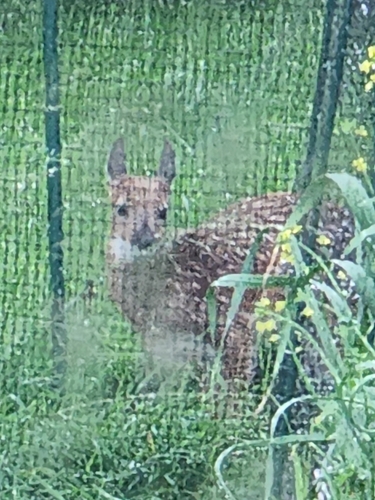
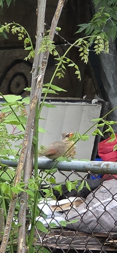
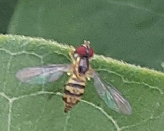
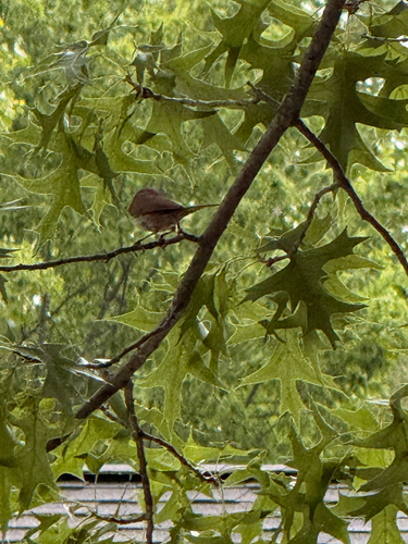
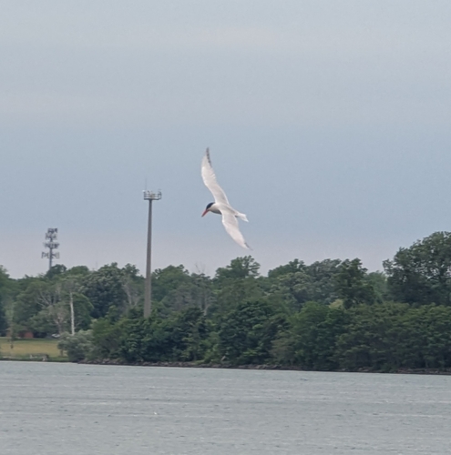
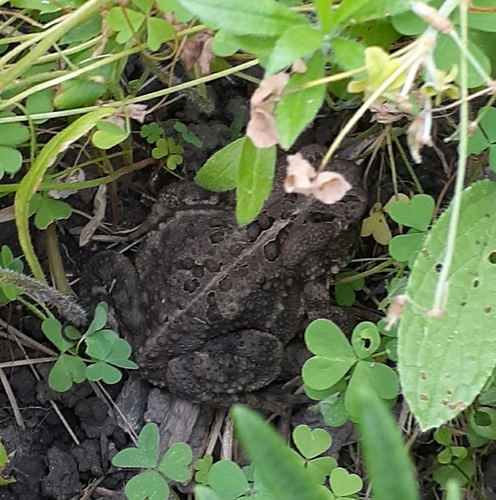
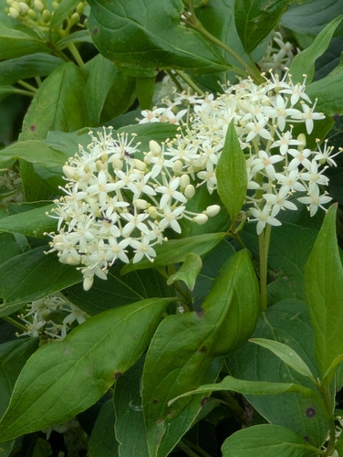
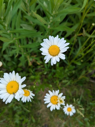
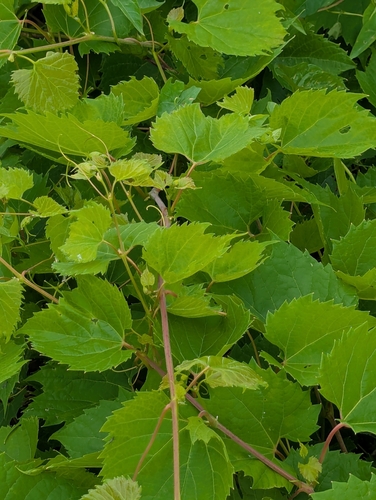
Research-grade observations from iNaturalist (within ~15 mi).
Nearest stream gauge
Events
Notable, recurring, and historical events associated with Buffalo, sourced from Wikidata.
- 138th National Puzzlers' League conventionAug 1, 1977recurring event edition
- 36th National Puzzlers' League conventionJul 1, 1901recurring event edition
- 9th National Puzzlers' League conventionJul 1, 1887recurring event edition
Source: Wikidata (CC0).
Gallery
Geotagged photos within ~6 miles of Buffalo, from Wikimedia Commons contributors.
 0.1 mi
 0.1 mi
 0.1 mi
 0.1 mi
 0.2 mi
 0.2 mi
 0.2 mi
 0.3 mi
_-_20190120_-_%22Perseverance_and_Optimism_on_the_East_Side%22.jpg) 0.3 mi
0.3 mi 0.3 mi
 0.3 mi
 0.3 mi
 0.3 mi
 0.3 mi
 0.3 mi
 0.3 mi
_-_20200607.jpg) 0.3 mi
0.3 mi 0.3 mi
 0.3 mi
 0.3 mi
_-_20200829.jpg) 0.3 mi
0.3 mi 0.3 mi
 0.3 mi
 0.3 mi
Photos via Wikimedia Commons — see each image page for license & attribution.
Sources
- • Wikipedia
- • US Census Bureau (ACS 5-year estimates)
- • Open-Meteo (ERA5 reanalysis)
- • NOAA National Weather Service
- • Wikimedia Commons
- • Wikidata
- • Open-Meteo Air Quality (CAMS)
- • USGS Earthquake Catalog (global feed)
- • NCES via Urban Institute Education Data Portal
- • GBIF (Global Biodiversity Information Facility)
- • iNaturalist
- • CDC PLACES
- • Open-Meteo / sunrise-sunset.org
- • Wikipedia Pageviews API
- • Open Library