Browse / United States / New York / Chestertown
Chestertown
New YorkCDP

Chestertown
Total population
499
Median home value
$210,000
Bachelor's+
Median income
$83,750
Demographic figures from US Census Bureau · ACS 5-year estimates. Overview below cites Wikipedia and may reference a different year.
City facts
Overview
Chestertown is a hamlet of the town of Chester, in Warren County, New York, United States. It is located by the junction of Route 8 and U.S. Route 9, in the Adirondack Mountains. The population was 586 as of the 2020 census, which lists the community as a census-designated place.
Read more on WikipediaHistory & geography
History
The community was founded in 1799 by New Englanders who built mills along its creeks. The first settlement was established around 1790 and was called Chester Four Corners. The Chestertown Historic District was added to the National Register of Historic Places in 1977.
Geography
Chestertown is located at (43.6525664, -73.8009597) and its elevation is . The ZIP code is 12817 and it is in the Eastern Time Zone. The nearest city is Glens Falls. According to the 2010 United States census, Chestertown has a total area of , of which is land and is water.
Excerpted from the corresponding Wikipedia article (CC BY-SA).
Demographics & economy
Race & ethnicity
Source: US Census Bureau — American Community Survey, 5-year estimates.
Geography
Coordinates & boundaries from the US Census TIGER/Line shapefiles.
Climate
Current forecast
Forecast for Chestertown, NY from NOAA NWS API.
Air quality
Industrial & pollution facilities
Natural hazard risk
Health (adults)
Age-adjusted prevalence estimates from CDC PLACES (latest release).
Walkability
Amenities nearby
Wildlife & biodiversity
Most-observed species
- Black-capped ChickadeePoecile atricapillus (Linnaeus, 1766) · Aves3,082
- Blue JayCyanocitta cristata (Linnaeus, 1758) · Aves2,552
- American RobinTurdus migratorius Linnaeus, 1766 · Aves1,827
- Red-eyed VireoVireo olivaceus (Linnaeus, 1766) · Aves1,787
- American CrowCorvus brachyrhynchos C.L.Brehm, 1822 · Aves1,664
- Song SparrowMelospiza melodia (A.Wilson, 1810) · Aves1,641
- Red-breasted NuthatchSitta canadensis Linnaeus, 1766 · Aves1,632
- Tufted TitmouseBaeolophus bicolor (Linnaeus, 1766) · Aves1,427
Citizen-science & research observations from the Global Biodiversity Information Facility (GBIF).
Schools
Largest nearby schools
- NORTH WARREN CENTRAL SCHOOLOther · CHESTERTOWN · 465 students · 7.8:1 ratio
- BOLTON CENTRAL SCHOOLOther · BOLTON LANDING · 174 students · 7:1 ratio
Public K–12 schools within ~10 mi from Urban Institute Education Data Portal (NCES Common Core of Data, 2022).
Earthquake history
Most recent
- M 3.1 — 2020-03-110 km SSW of South Glens Falls, New York
- M 3.23 — 2007-08-30New York
- M 2.83 — 2007-05-145 km ESE of Benson, Vermont
- M 2.85 — 2006-10-1010 km ENE of Ticonderoga, New York
- M 3 — 2002-06-256 km NNW of Au Sable Forks, New York
- M 3.1 — 2002-05-246 km N of Au Sable Forks, New York
Events from the USGS Earthquake Catalog (global) (FDSN Event Web Service).
Photos
Sights & places nearby
Notable people from here
Nearby places in New York
Geography & sun
Elevation, sunrise/sunset and daylight from Open-Meteo. Solar climatology from NASA POWER.
Nearby airports
Public attention
Pageview totals from the Wikimedia Pageviews API.
Books about Chestertown

Search results from Open Library.
Recent natural events nearby
Ground air-quality sensors
Recently spotted species
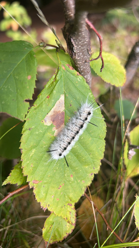
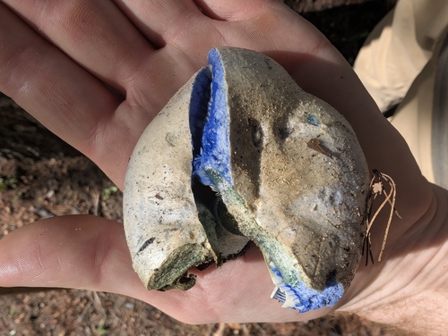
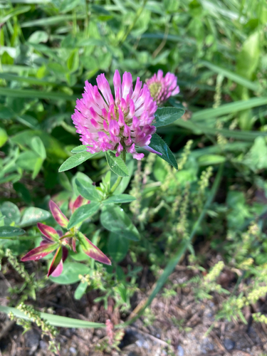
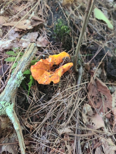
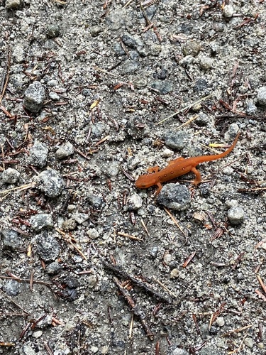
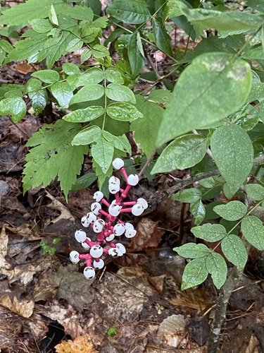
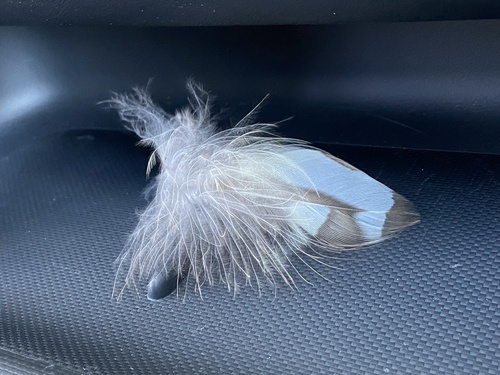
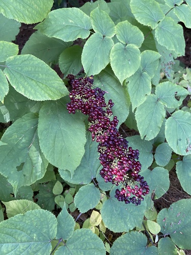
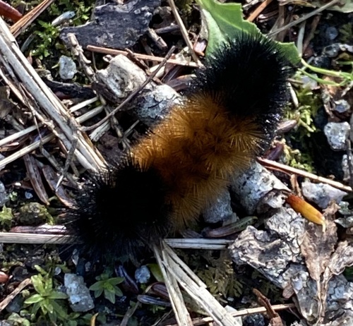
Research-grade observations from iNaturalist (within ~15 mi).
Nearest stream gauge
Events
Gallery
Sources
- • Wikipedia
- • US Census Bureau (ACS 5-year estimates)
- • NOAA National Weather Service
- • USGS Earthquake Catalog (global feed)
- • NCES via Urban Institute Education Data Portal
- • GBIF (Global Biodiversity Information Facility)
- • iNaturalist
- • CDC PLACES
- • Open-Meteo / sunrise-sunset.org
- • Wikipedia Pageviews API
- • Open Library